 Arctic SDI catalogue
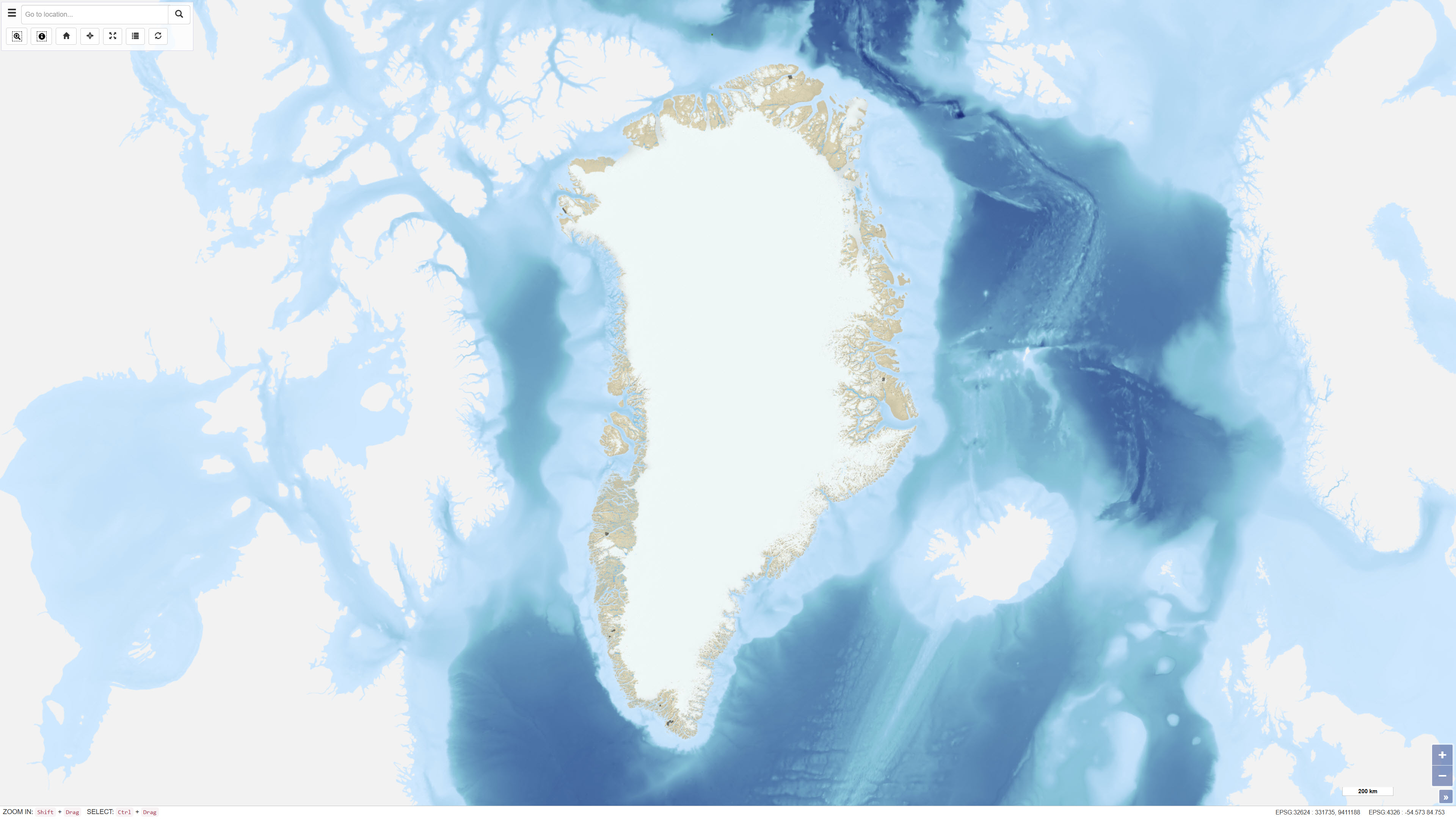
Mining exploitation licences in Greenland
Simple
- Date ( Publication )
- 2022-01-01
- Identifier
- dk.geus / grl_mining_exploitation_licences
- Presentation form
- Digital map
- Purpose
- The dataset is made available to provide a comprehensive geographic overview of active exploitation licences in Greenland. It can be used as background and reference data in planning, administration, regulatory processes and geoscientific analyses.
- Status
- On going
- Maintenance and update frequency
- As needed
- Keywords ( Theme )
-
- Dataset
- Exploitation licences
- Mineral resources
- Greenland
- Administrative boundaries
- Forskningsemner Forskningsemner ( Theme )
- Geografisk Geografisk ( Place )
- Access constraints
- Other restrictions
- Use constraints
- Other restrictions
- Other constraints
- The dataset is based on data hosted by the Ministry of Mineral Resources, Government of Greenland. Rights and terms of use are defined by the original data provider. GEUS only facilitates access to the data without modifying the content and assumes no responsibility for data content or update status.
- Spatial representation type
- Vector
- Denominator
- 500000
- Metadata language
- en
- Character set
- UTF8
- Topic category
-
- Geoscientific information
- Boundaries
))
- Supplemental Information
- Information on the application procedure and conditions for exploitation licences is available on the official website of the Government of Greenland.
- Reference system identifier
- WGS 84 / UTM 24N (EPSG:32624)
- Distribution format
-
-
WMS
(
)
-
WFS
(
)
-
SHP
(
)
-
GeoJSON
(
)
-
WMS
(
)
- OnLine resource
-
Interactive webmap
(
WWW:LINK-1.0-http--link
)
Interactive map displaying the dataset.
- OnLine resource
-
MLSA:mcas_mlsa_public_exploitation
(
OGC:WFS-1.0.0-http-get-capabilities
)
WFS Service from https://gis.govmin.gl/geoserver/web/?0
- OnLine resource
-
grl_lic_minerals_exploitation
(
OGC:WMS-1.3.0-http-get-capabilities
)
WMS for Greenland mineral licenses - Exploitation
- OnLine resource
-
Download
Download dataset as shapefile
- OnLine resource
-
Download
Download dataset as GeoJSON
- Hierarchy level
- Dataset
- Statement
- The dataset is based on data hosted and maintained by the Ministry of Mineral Resources (MMR), Government of Greenland. GEUS accesses the data through the WFS service provided by MMR and harvests them for use in its own visualisation services. GEUS does not perform editorial, geometric or content modifications. The currency, accuracy and legal status of the dataset depend on updates made by MMR.
- File identifier
- 00fcb7fa-757c-4b76-9cdd-6b42f64c1d24 XML
- Metadata language
- Danskda
- Character set
- UTF8
- Hierarchy level
- Dataset
- Date stamp
- 2026-03-01T12:59:08.803188Z
- Metadata standard name
- ISO 19115:2003/19139
- Metadata standard version
- 1.0
Overviews
Spatial extent
Provided by
