 Arctic SDI catalogue
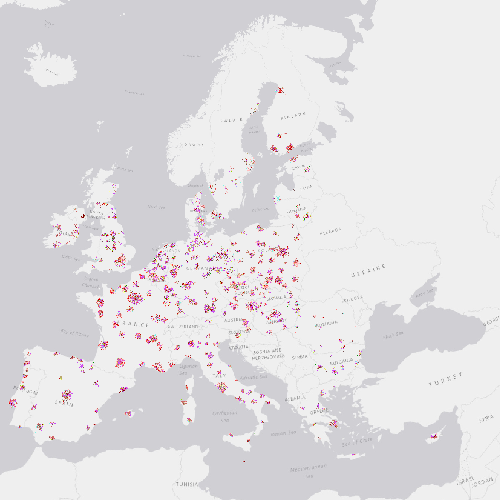
Urban Atlas Land Cover/Land Use Change 2006-2012 (vector), Europe, 6-yearly, Sep. 2016
The Urban Atlas provides pan-European comparable land use and land cover data for Functional Urban Areas (FUA). The Urban Atlas Change layers have become available from 2012 and only for all FUAs that have been covered in both 2006 and 2012 reference years.
Urban Atlas is a joint initiative of the European Commission Directorate-General for Regional and Urban Policy and the Directorate-General for Enterprise and Industry in the frame of the EU Copernicus programme, with the support of the European Space Agency and the European Environment Agency.
Simple
- Date ( Creation )
- 2016-09-19
- Date ( Publication )
- 2016-09-19
- Edition
- xx.xx
- Identifier
- copernicus_v_3035_10_m_uac-2006-2012_p_2005-2013_vxx_rxx
- Identifier
- DAT-190-en
- Unique resource identifier
- 10.2909/047f71ee-dec6-4c7b-8044-7a153c025588
- Maintenance and update frequency
- Continual
- GEMET - INSPIRE themes, version 1.0 ( Theme )
-
- Land use
- Keywords
-
- Continents, countries, sea regions of the world. ( Place )
-
- EU27 (2007-2013)
- Keywords
-
- GEMET ( Theme )
-
- land cover
- landscape alteration
- land use
- urban area
- Spatial scope ( Theme )
- EEA Management Plan ( Theme )
-
- 2018 3.6.2
- EEA topics ( Theme )
-
- Buildings and construction
- Land use
- Environmental health impacts
- Urban sustainability
- Access constraints
- Other restrictions
- Other constraints
- no limitations to public access
- Use constraints
- Other restrictions
- Other constraints
-
The Copernicus component is governed by Regulation (EU) No 2021/696 of the European Parliament and of the Council of 28 April 2021 establishing the Union Space Programme and the European Union Agency for the Space Programme and repealing Regulations (EU) No 912/2010, (EU) No 1285/2013 and (EU) No 377/2014 and Decision No 541/2014/EU. Within the Copernicus component, a portfolio of land monitoring activities has been delegated by the European Union to the European Environment Agency (EEA) and the DG Joint Research Centre of the European Commission.
The Copernicus land monitoring products and services are made available on a principle of full, open and free access, as established by the Commission Delegated Regulation (EU) No 1159/2013 of 12 July 2013.
Free, full and open access to the products and services of the Copernicus Land Monitoring Service is made on the conditions that:
1. When distributing or communicating Copernicus Land Monitoring Service products and services (data, software scripts, web services, user and methodological documentation and similar) to the public, users shall inform the public of the source of these products and services.
2. Where the Copernicus Land Monitoring Service products and services have been adapted or modified by the user, the user shall clearly state this.
3. Users shall make sure not to convey the impression to the public that the user's activities are officially endorsed by the European Union.
- Spatial representation type
- vector Vector
- Distance
- 10 m
- Metadata language
- en
- Character set
- utf8 UTF8
- Topic category
-
- Environment
- Imagery base maps earth cover
- Begin date
- 2005-01-01
- End date
- 2013-12-31
))
- Supplemental Information
- Spatial Resolution information: The Minimum Mapping Width is 10 m
- Unique resource identifier
- EPSG:3035
- Distribution format
-
-
SHP
(
1.1
)
-
SHP
(
1.1
)
- OnLine resource
- Urban Atlas Change 2006-2012 ( OGC:WMS )
- OnLine resource
- https://image.discomap.eea.europa.eu/arcgis/rest/services/UrbanAtlas/UA_UrbanAtlasChange_2006_2012/MapServer ( ESRI:REST )
- OnLine resource
- https://doi.org/10.2909/047f71ee-dec6-4c7b-8044-7a153c025588 ( DOI )
- OnLine resource
- Product Information & Technical Documentation ( WWW:LINK )
- OnLine resource
-
CLMS Website
(
WWW:DOWNLOAD
)
Download (requires authentication)
- Hierarchy level
- Dataset
Conformance result
- Date ( Publication )
- 2010-12-08
- Explanation
- See the referenced specification
- Statement
-
The Urban Atlas is mainly based on the combination of (statistical) image classification and visual interpretation of Very High Resolution (VHR) satellite imagery. Multispectral SPOT 5 & 6 and Formosat-2 pan-sharpened imagery with a 2 to 2.5m spatial resolution is used as input data. The built-up classes are combined with density information on the level of sealed soil derived from the High Resolution Layer imperviousness to provide more detail in the density of the urban fabric. Finally, the Urban Atlas product is complemented and enriched with functional information (road network, services, utilities etc…) using ancillary data sources such as local city maps or online map services.
The Minimum Mapping Unit is as follows:
Class 1 to Class 1: 0.1 ha;
Class 2 - 5 to Class 1: 0.1 ha;
Class 2 - 5 to Class 2 - 5: 0.25 ha;
Class 1 to Class 2 - 5: 0.25 ha.
The Minimum Mapping Width is 10 m.
- File identifier
- 047f71ee-dec6-4c7b-8044-7a153c025588 XML
- Metadata language
- en
- Character set
- UTF8
- Hierarchy level
- Dataset
- Date stamp
- 2025-10-09T10:34:45.007652Z
- Metadata standard name
- ISO 19115/19139
- Metadata standard version
- 1.0
Overviews
Spatial extent
Provided by
