 Arctic SDI catalogue
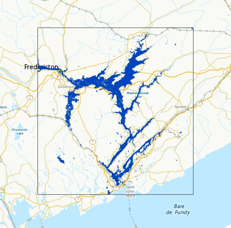
Floods in Canada - Cartographic Product Collection
Collection of flood products for active and past floods throughout Canada as monitored by Natural Resources Canada using satellite imagery for emergency response. This collection of cartographic products regroups flood extent polygons and their associated footprints. Three visualization timeframes are available :
- **[Active Floods in Canada](https://open.canada.ca/data/en/dataset/9cad712a-5ac5-4248-b7d7-2db1a3892509)**
- **[Floods in Canada - Current Year](https://open.canada.ca/data/en/dataset/b1afd8d2-6e14-4ec4-9a09-652221a6cb71)**
- **[Floods in Canada - Archive](https://open.canada.ca/data/en/dataset/74144824-206e-4cea-9fb9-72925a128189)**
Simple
- Date ( RI_367 )
- 2018-04-12
- Date ( RI_366 )
- 2011-04-29
- Status
- onGoing; enContinue RI_596
- Maintenance and update frequency
- irregular; irrégulier RI_541
- Government of Canada Core Subject Thesaurus Thésaurus des sujets de base du gouvernement du Canada ( RI_528 )
-
- Emergency services
- History
- Archives
- Floods
- Natural disasters
- Use limitation
- Open Government Licence - Canada (http://open.canada.ca/en/open-government-licence-canada)
- Access constraints
- license; licence RI_606
- Use constraints
- license; licence RI_606
- Spatial representation type
- vector; vecteur RI_635
- Metadata language
- eng; CAN
- Metadata language
- fra
- Character set
- utf8; utf8 RI_458
- Topic category
-
- Inland waters
- Begin date
- 2011-04-04
N
S
E
W
))
- Reference system identifier
- http://www.epsg-registry.org / EPSG:4326 /
- Reference system identifier
- http://www.epsg-registry.org / EPSG:3857 /
- File identifier
- 08b810c2-7c81-40f1-adb1-c32c8a2c9f50 XML
- Metadata language
- eng; CAN
- Character set
- utf8; utf8 RI_458
- Parent identifier
- Dynamic Surface Water Maps of Canada from 1984-2023 Landsat Satellite Imagery 62de5952-a5eb-4859-b086-22a8ba8024b8
- Hierarchy level
- series; série RI_623
- Date stamp
- 2022-12-21T15:58:34
- Metadata standard name
- North American Profile of ISO 19115:2003 - Geographic information - Metadata
- Metadata standard version
- CAN/CGSB-171.100-2009
Overviews

large_thumbnail
Spatial extent
N
S
E
W
Provided by

Associated resources
Not available