 Arctic SDI catalogue
Water level measurements in danish wells
Simple
- Date ( Publication )
- 2014-04-30
- Identifier
- dk.geus / jupiter_pejlinger
- Presentation form
- Digital table
- Purpose
- None specified
- Status
- On going
- Maintenance and update frequency
- As needed
- Keywords ( Theme )
-
- Dataset
- Water level measurements
- Database
- Forskningsemner Forskningsemner ( Theme )
- Geografisk Geografisk ( Place )
- Access constraints
- Other restrictions
- Use constraints
- Other restrictions
- Other constraints
- CC BY 4.0
- Spatial representation type
- Vector
- Denominator
- 100
- Metadata language
- Da
- Character set
- UTF8
- Topic category
-
- Geoscientific information
))
- Supplemental Information
- None specified
- Reference system identifier
- ETRS 89 / UTM 32N (EPSG:25832)
- Distribution format
-
-
WMS
(
)
-
WFS
(
)
-
SHP
(
)
-
GeoJSON
(
)
-
WMS
(
)
- OnLine resource
-
Interactive webmap
(
WWW:LINK-1.0-http--link
)
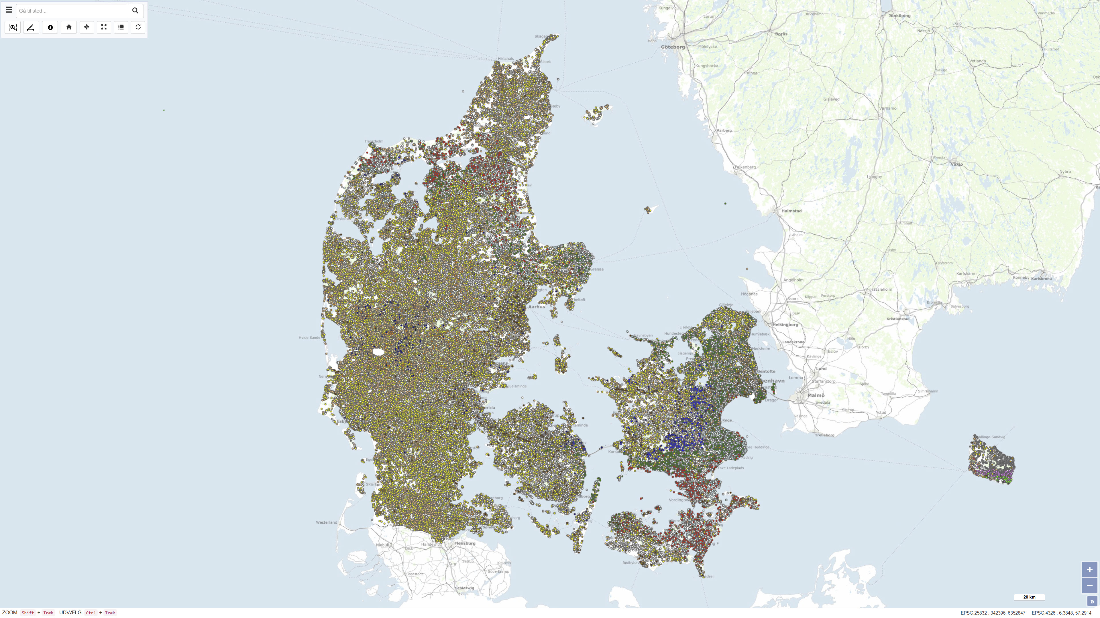
Interactive map displaying the dataset.
- OnLine resource
-
jupiter_pejlinger
(
OGC:WMS-1.1.1-http-get-capabilities
)
Jupiter water level measurement
- OnLine resource
-
ms:jupiter_pejlinger
(
OGC:WFS-1.0.0-http-get-capabilities
)
WFS for Water level measurement
- OnLine resource
-
Jupiter water level measurement
Download dataset as shapefile
- OnLine resource
-
Download
Download dataset as GeoJSON
- Hierarchy level
- Dataset
- Statement
- The Well Data archive was established pursuant to the Water Supply Act of 1926 with the purpose of registering and preserving information about groundwater and geological conditions. However, the archive stores information about many even older boreholes and soundings. Boreholes and soundings are registered in the nationwide Jupiter database, which contains information about more than 270,000 near-surface boreholes.
- File identifier
- 1e1b5cee-1a9e-4c51-b1cc-5a51275283dc XML
- Metadata language
- Danskda
- Character set
- UTF8
- Hierarchy level
- Dataset
- Date stamp
- 2026-03-02T07:49:45.476091Z
- Metadata standard name
- ISO 19115:2003/19139
- Metadata standard version
- 1.0
Overviews
Spatial extent
Provided by
