 Arctic SDI catalogue
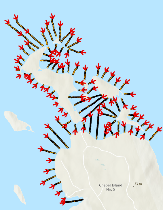
Bay Scale Assessment of Nearshore Habitat Bras d'Or Lake - Chapel Island 2008
Bay Scale Assessment of Nearshore Habitat Bras d'Or Lake - Chapel Island 2008 data is part of the publication Bay Scale Assessment of Nearshore Habitat Bras d'Or Lakes.
A history of nearshore benthic surveys of Bras d’Or Lake from 2005 – 2011 is presented.
Early work utilized drop camera and fixed mount sidescan. The next phase was one of towfish development, where camera and sidescan were placed on one platform with transponder-based positioning. From 2009 to 2011 the new towfish was used to ground truth an echosounder. The surveys were performed primarily in the northern half of the lake; from 10 m depth right into the shallows at less than 1 m. Different shorelines could be distinguished from others based upon the relative proportions of substrate types and macrophyte canopy. The vast majority of macrophytes occurred within the first 3 m of depth. This zone was dominated by a thin but consistent cover of eelgrass (Zostera marina L.) on almost all shores with a current or wave regime conducive to the growth of this plant. However, the eelgrass beds were frequently in poor shape and the negative impacts of commonly occurring water column turbidity, siltation, or possible localized eutrophication, are suspected. All survey data were placed into a Geographic Information System, and this document is a guide to that package. The Geographic Information System could be used to answer management questions such as the placement and character of habitat compensation projects, the selection of nearshore protected areas or as a baseline to determine long term changes.
Vandermeulen, H. 2016. Video-sidescan and echosounder surveys of nearshore Bras d’Or Lake. Can. Tech. Rep. Fish. Aquat. Sci. 3183: viii + 39 p.
Cite this data as: Vandermeulen H. Bay Scale Assessment of Nearshore Habitat Bras d'Or Lake - Chapel Island 2008. Published May 2022. Coastal Ecosystems Science Division, Fisheries and Oceans Canada, Dartmouth, N.S.
Simple
- Date ( RI_367 )
- 2022-02-24
- Date ( RI_366 )
- 2008-07-09
- Status
- completed; complété RI_593
- Maintenance and update frequency
- notPlanned; nonPlanifié RI_542
- Government of Canada Core Subject Thesaurus Thésaurus des sujets de base du gouvernement du Canada ( RI_528 )
-
- Oceans
- Classification
- unclassified; nonClassifié RI_484
- Use limitation
- Open Government Licence - Canada (http://open.canada.ca/en/open-government-licence-canada)
- Access constraints
- license; licence RI_606
- Use constraints
- license; licence RI_606
- Spatial representation type
- vector; vecteur RI_635
- Spatial representation type
- grid; grille RI_636
- Metadata language
- eng
- Character set
- utf8; utf8 RI_458
- Topic category
-
- Oceans
- Begin date
- 2008-07-08
- End date
- 2008-07-09
))
- Reference system identifier
- http://www.epsg-registry.org / EPSG:4326 / 8.2.6
- Distribution format
-
-
FGDB/GDB
(
2.7.0
)
-
ESRI REST
(
2.7.0
)
-
CSV
(
N/A
)
-
FGDB/GDB
(
2.7.0
)
- OnLine resource
-
Video-Sidescan and Echosounder Surveys of Nearshore Bras d’Or Lake
(
HTTPS
)
Supporting Document;PDF;eng
- OnLine resource
-
Data Dictionary
(
HTTPS
)
Supporting Document;CSV;eng,fra
- OnLine resource
-
Bay Scale Assessment of Nearshore Habitat Bras d'Or Lake - Chapel Island 2008
(
ESRI REST: Map Server
)
Web Service;ESRI REST;eng
- OnLine resource
-
Bay Scale Assessment of Nearshore Habitat Bras d'Or Lake - Chapel Island 2008
(
ESRI REST: Map Server
)
Web Service;ESRI REST;fra
- OnLine resource
-
Bay Scale Assessment of Nearshore Habitat Bras d'Or Lake - Chapel Island 2008
(
HTTPS
)
Dataset;TIFF;zxx
- OnLine resource
-
Bay Scale Assessment of Nearshore Habitat Bras d'Or Lake - Chapel Island 2008
(
HTTPS
)
Dataset;FGDB/GDB;eng
- File identifier
- 2bafcc93-ebb8-4cf8-ab30-be45c405adb1 XML
- Metadata language
- eng; CAN
- Character set
- utf8; utf8 RI_458
- Parent identifier
- Bay Scale Assessment of Nearshore Habitat Bras d'Or Lake b9aca751-2ee6-4e3c-9241-d21914dc4eed
- Hierarchy level
- series; série RI_623
- Date stamp
- 2025-02-05T23:40:45.121Z
- Metadata standard name
- North American Profile of ISO 19115:2003 - Geographic information - Metadata
- Metadata standard version
- CAN/CGSB-171.100-2009
Overviews
Spatial extent
Provided by
