 Arctic SDI catalogue
Regional Geochemical Analyses of Scree Samples from Greenland
Simple
- Date ( Publication )
- 2022-01-01
- Identifier
- dk.geus / grl_scree_geochemistry
- Presentation form
- Digital map
- Purpose
- The purpose of the dataset is to support regional geochemical mapping and mineral exploration in Greenland by providing analytical results from scree material collected in areas where stream sediment or soil sampling was not possible. The dataset improves spatial coverage of geochemical observations in mountainous or drainage-limited areas.
- Status
- Completed
- Maintenance and update frequency
- As needed
- Keywords ( Theme )
-
- Dataset
- Geochemistry
- Scree
- Surface Material
- Trace Elements
- Major Elements
- Mineral Exploration
- Greenland
- Forskningsemner Forskningsemner ( Theme )
- Geografisk Geografisk ( Place )
- Access constraints
- Other restrictions
- Use constraints
- Other restrictions
- Other constraints
- CC BY 4.0
- Spatial representation type
- Vector
- Denominator
- 250000
- Metadata language
- Da
- Character set
- UTF8
- Topic category
-
- Geoscientific information
- Begin date
- 1977-01-01
- End date
- 1997-12-31
))
- Supplemental Information
- The dataset comprises a limited number of samples and should primarily be used for regional-scale interpretation. Sampling density is low compared to systematic stream sediment surveys, and the dataset represents a supplementary data source. Users should be aware of variations in analytical methods and detection limits over time.
- Reference system identifier
- WGS 84 / UTM 24N (EPSG:32624)
- Distribution format
-
-
SHP
(
)
-
WFS
(
)
-
WMS
(
)
-
SHP
(
)
- OnLine resource
-
Download
Download dataset as shapefile
- OnLine resource
-
Interactive webmap
(
WWW:LINK-1.0-http--link
)
Interactive map displaying the dataset.
- OnLine resource
-
Compilation of data sets for a geochemical atlas of West and South Greenland based on stream sediment surveys 1977 to 1997
(
DOI
)
Steenfelt, A. (1999). Compilation of data sets for a geochemical atlas of West and South Greenland based on stream sediment surveys 1977 to 1997. GEUS. Danmarks og Grønlands Geologiske Undersøgelse Rapport Vol. 1999 No. 41 https://doi.org/10.22008/gpub/16138
- OnLine resource
-
ms:geochemistry_scree
(
OGC:WFS-1.0.0-http-get-capabilities
)
WFS for Geochemical data packages - Scree sediments
- OnLine resource
-
geochemistry_scree
(
OGC:WMS-1.3.0-http-get-capabilities
)
WMS for Geochemical data packages - Scree sediments
- OnLine resource
-
Download
Download dataset as GeoJSON
- Hierarchy level
- Dataset
- Statement
- The scree samples were collected during regional geochemical reconnaissance surveys carried out by the Geological Survey of Greenland (GGU) between 1977 and 1997. Sampling was conducted in areas where stream sediment and soil sampling could not be performed. Samples were dried, sieved and analysed at various laboratories using methods such as X-ray Fluorescence Spectrometry (XRF), Instrumental Neutron Activation Analysis (INA) and Delayed Neutron Counting (DNC), depending on survey period and element suite. Analytical data are recorded as reported by the laboratories. Values below detection limits are stored as negative values in the dataset. Detection limits and analytical precision vary between methods and survey periods.
- File identifier
- 32c42a05-28dd-4a49-9bc2-ea4bfb08a509 XML
- Metadata language
- Danskda
- Character set
- UTF8
- Hierarchy level
- Dataset
- Date stamp
- 2026-03-01T12:27:54.494801Z
- Metadata standard name
- ISO 19115:2003/19139
- Metadata standard version
- 1.0
Overviews
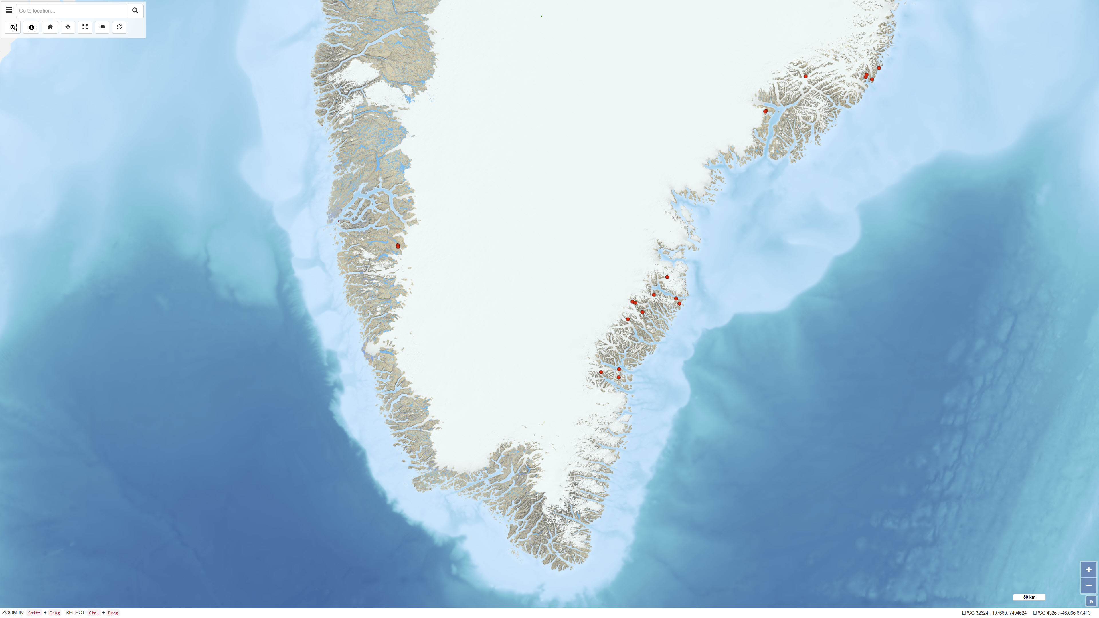
Spatial extent
Provided by
