 Arctic SDI catalogue
Regional Airborne Radiometric Surveys in Greenland 1975–1982
Simple
- Date ( Publication )
- 2022-01-01
- Identifier
- dk.geus / grl_radiometric_surveys_1975_1982
- Presentation form
- Digital map
- Purpose
- The purpose of the dataset is to support regional geological mapping and mineral exploration by providing information on the distribution of naturally occurring radioactive elements in near-surface rocks. The data are used to identify lithological variations, structural patterns and areas with elevated concentrations of naturally occurring radioactive elements.
- Status
- Completed
- Maintenance and update frequency
- As needed
- Keywords ( Theme )
-
- Dataset
- Geophysics
- Radiometry
- Potassium
- Thorium
- Uranium
- Greenland
- Airborne
- Forskningsemner Forskningsemner ( Theme )
- Geografisk Geografisk ( Place )
- Access constraints
- Other restrictions
- Use constraints
- Other restrictions
- Other constraints
- CC BY 4.0
- Other constraints
- The dataset is licensed under the Creative Commons Attribution 4.0 International (CC BY 4.0). Citation: Geological Survey of Denmark and Greenland (GEUS). Licence terms: https://creativecommons.org/licenses/by/4.0/
- Spatial representation type
- Grid
- Denominator
- 500000
- Metadata language
- en
- Character set
- UTF8
- Topic category
-
- Geoscientific information
- Begin date
- 1975-01-01
- End date
- 1982-12-31
))
- Supplemental Information
- The dataset represents historical radiometric measurements acquired using instrumentation and processing standards of the time. Resolution and data quality depend on flight altitude, line spacing and instrument type applied during the individual surveys. The dataset is primarily suitable for regional interpretation and overview analyses.
- Reference system identifier
- WGS 84 / UTM 24N (EPSG:32624)
- Distribution format
-
-
WMS
(
)
-
REST
(
)
-
WMS
(
)
- OnLine resource
-
Interactive webmap
(
WWW:LINK-1.0-http--link
)
Interactive map displaying the dataset.
- OnLine resource
-
Geophysics_Radiometry
(
ESRI:REST
)
ArcGIS REST Service
- OnLine resource
-
eTH_all_utm24n
(
OGC:WMS-1.3.0-http-get-capabilities
)
ArcGIS WMS Service
- OnLine resource
-
The South Greenland regional uranium exploration project
(
DOI
)
The South Greenland regional uranium exploration project. (1980). Rapport Grønlands Geologiske Undersøgelse, 100, 83-86. https://doi.org/10.34194/rapggu.v100.7705
- OnLine resource
-
Restored digital airborne radiometric data from surveys flown in 1975 and 1976 by GGU between 63 and 68N, West Greenland
(
DOI
)
Tukiainen, T., Rasmussen, T. M., Secher, K., & Steenfelt, A. (2003). Restored digital airborne radiometric data from surveys flown in 1975 and 1976 by GGU between 63 and 68N, West Greenland. GEUS. Danmarks og Grønlands Geologiske Undersøgelse Rapport Vol. 2003 No. 37 https://doi.org/10.22008/gpub/19004
- Hierarchy level
- Dataset
- Statement
- The dataset is based on airborne radiometric measurements acquired during 1975–1982. Data were collected using aircraft-mounted gamma spectrometers measuring natural gamma radiation from potassium, thorium and uranium. The surveys were conducted as part of regional geophysical mapping activities and subsequently processed using standard corrections, including altitude correction, background correction and calibration against known reference areas. The digital dataset has been established based on the original measurements and associated survey documentation.
- File identifier
- 368ed153-74e2-4eec-9970-99e221654ae3 XML
- Metadata language
- Danskda
- Character set
- UTF8
- Hierarchy level
- Dataset
- Date stamp
- 2026-02-26T08:01:33.033921Z
- Metadata standard name
- ISO 19115:2003/19139
- Metadata standard version
- 1.0
Overviews
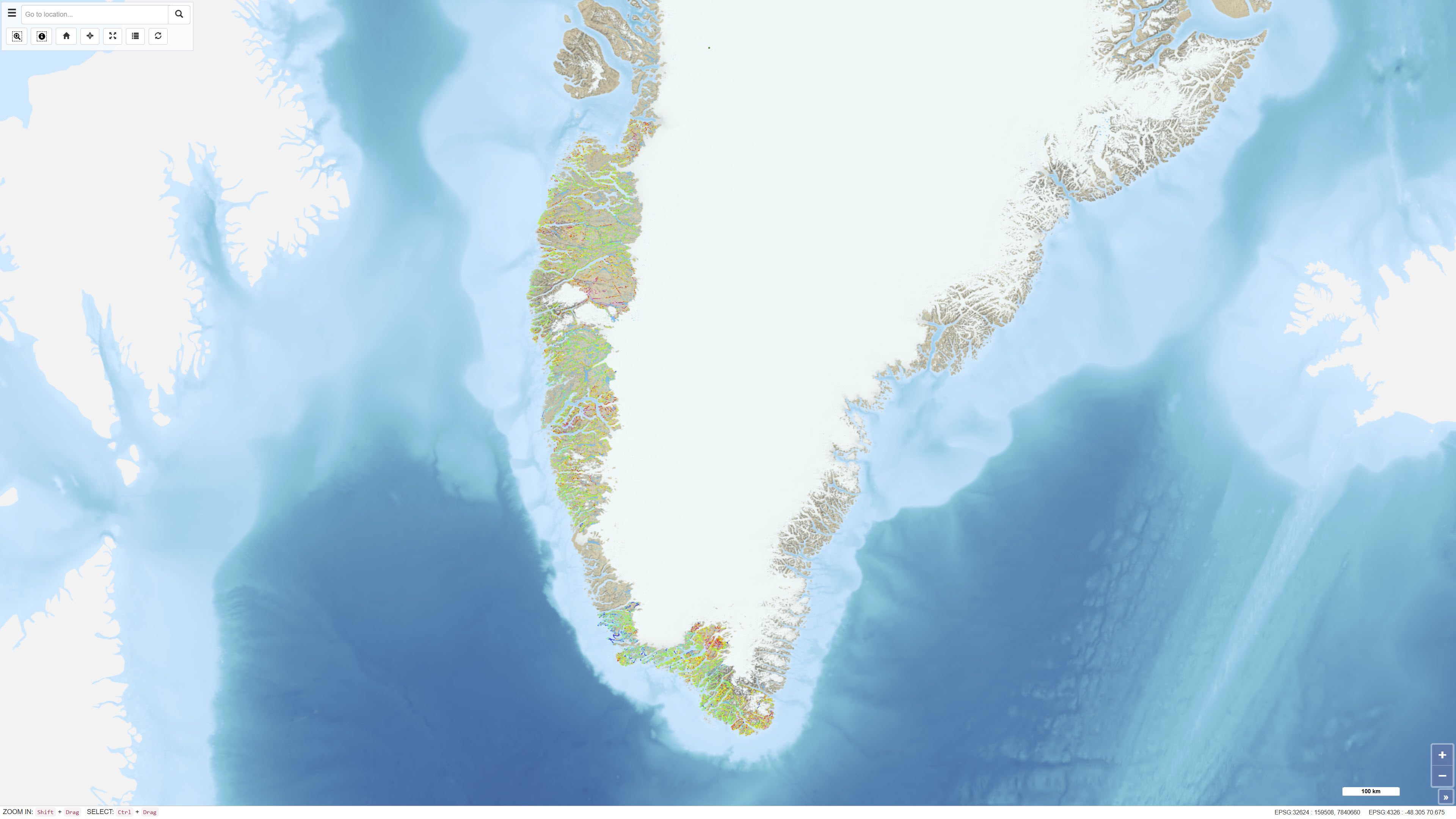
Spatial extent
Provided by
