 Arctic SDI catalogue
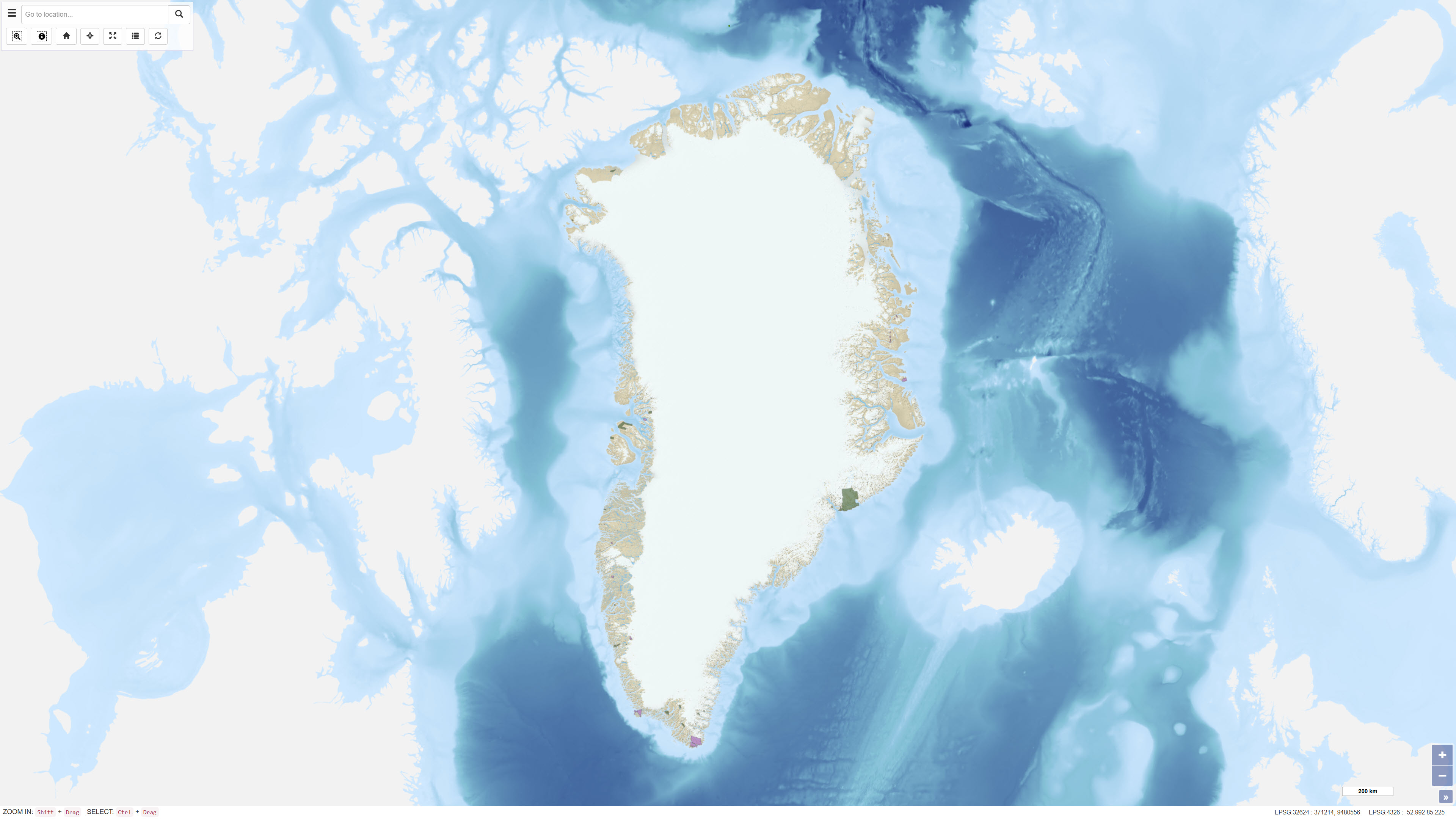
Applications for Mineral Exploration and Exploitation Licences in Greenland
Simple
- Date ( Publication )
- 2022-01-01
- Identifier
- dk.geus / grl_mineral_licence_applications
- Presentation form
- Digital map
- Purpose
- The purpose of the dataset is to provide a geographic overview of pending mineral licence applications and their processing status in Greenland to support screening, planning and administrative analysis.
- Status
- On going
- Maintenance and update frequency
- As needed
- Keywords ( Theme )
-
- Dataset
- Mineral Licences
- Licence Applications
- Administrative Boundaries
- Greenland
- Exploration
- Exploitation
- Forskningsemner Forskningsemner ( Theme )
- Geografisk Geografisk ( Place )
- Access constraints
- Other restrictions
- Use constraints
- Other restrictions
- Other constraints
- The dataset is based on data provided by the Ministry of Mineral Resources in Greenland and is distributed by GEUS as reference data. The dataset does not constitute legally binding information and should be verified against official sources. Proper source citation is required.
- Spatial representation type
- Vector
- Denominator
- 500000
- Metadata language
- en
- Character set
- UTF8
- Topic category
-
- Planning cadastre
- Economy
))
- Supplemental Information
- The dataset functions as an administrative reference layer and does not constitute legally binding documentation of licence status. Processing status may change over time, and applications may be approved, modified or rejected. Boundaries and status should be verified against official registers maintained by the Ministry of Mineral Resources in Greenland.
- Reference system identifier
- WGS 84 / UTM 24N (EPSG:32624)
- Distribution format
-
-
WFS
(
)
-
WMS
(
)
-
WFS
(
)
- OnLine resource
-
Interactive webmap
(
WWW:LINK-1.0-http--link
)
Interactive map displaying the dataset.
- OnLine resource
-
MLSA:mcas_mlsa_public_applications
(
OGC:WFS-1.0.0-http-get-capabilities
)
WFS Service from https://gis.govmin.gl/geoserver/web/?0
- OnLine resource
-
grl_lic_applications
(
OGC:WMS-1.3.0-http-get-capabilities
)
WMS for Greenland licenses - Applications for new license
- Hierarchy level
- Dataset
- Statement
-
Lineage describes the origin and history of the dataset – i.e. how the data was obtained, which sources were used, and which treatments or transformations were performed. The purpose is for others to understand where the data comes from and how reliable it is.
1. Brief description of the data sources (e.g. field surveys, existing databases, public registers).
2. Important processing steps that the dataset has undergone (e.g. reprojection, generalization, quality control).
3. Any external contributors or reference to original datasets if GEUS has not collected the data itself.
Example of a good lineage statement:
"The dataset is based on geological mapping carried out by GEUS in the period 2000–2020. Data has been checked for consistency and reprojected to ETRS89 / UTM zone 32N. For external data, the source and publication are documented."
- File identifier
- 3d400e06-1ee5-4269-acde-00103a35ae26 XML
- Metadata language
- Danskda
- Character set
- UTF8
- Hierarchy level
- Dataset
- Date stamp
- 2026-03-03T14:19:28.598795Z
- Metadata standard name
- ISO 19115:2003/19139
- Metadata standard version
- 1.0
Overviews
Spatial extent
Provided by
