 Arctic SDI catalogue
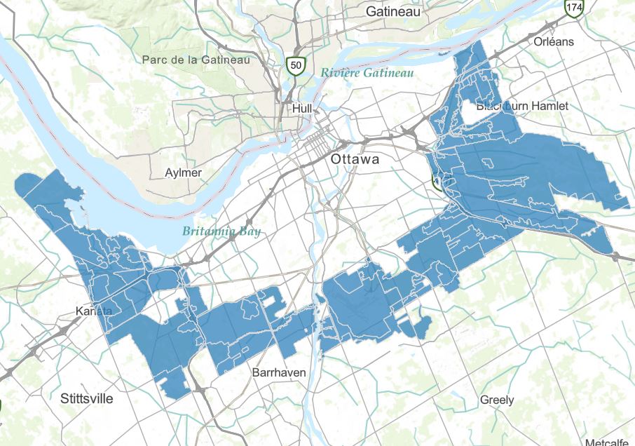
NCC Greenbelt Land use designations 2013
In the Greenbelt Master Plan (2013), the proposed land designations are a “classification” which assigns desired landscape character and uses to defined land areas across the Greenbelt. Areas are classified according to their desired role, whether to protect biodiversity, maintain agricultural resources, or accommodate permanent facilities.
https://ncc-ccn.gc.ca/our-plans/greenbelt-master-plan
https://ncc-website-2.s3.amazonaws.com/documents/final-2013-greenbelt-master-plan-en.pdf#page=69
Simple
- Date ( RI_367 )
- 2013-12-04
- Date ( RI_366 )
- 2013-12-04
- Status
- completed; complété RI_593
- Maintenance and update frequency
- asNeeded; auBesoin RI_540
- Keywords ( RI_528 )
-
- Greenbelt
- Government of Canada Core Subject Thesaurus Thésaurus des sujets de base du gouvernement du Canada ( RI_528 )
-
- Land management
- Planning
- Use limitation
- Open Government Licence - Canada (http://open.canada.ca/en/open-government-licence-canada)
- Access constraints
- license; licence RI_606
- Use constraints
- license; licence RI_606
- Spatial representation type
- vector; vecteur RI_635
- Metadata language
- eng; CAN
- Character set
- utf8; utf8 RI_458
- Topic category
-
- Society
))
- Begin date
- 2013-01-01
- Reference system identifier
- / EPSG:32189 /
- Distribution format
-
-
CSV
(
CSV (Comma delimited)
)
-
KML
(
2.2
)
-
GEOJSON
(
OGC:1.3
)
-
SHP
(
2
)
-
CSV
(
CSV (Comma delimited)
)
- OnLine resource
-
NCC Greenbelt Land use designations 2013
(
ESRI REST: Feature Service
)
Web Service;ESRI REST;eng
- OnLine resource
-
NCC Greenbelt Land use designations 2013
(
HTTPS
)
Application;Web App;fra
- OnLine resource
-
NCC Greenbelt Land use designations 2013
(
HTTPS
)
Dataset;Web App;eng
- OnLine resource
-
NCC Greenbelt Land use designations 2013
(
ESRI REST: Feature Service
)
Web Service;ESRI REST;fra
- File identifier
- 420259e4-304f-4b46-a7f8-ffc76a66c2fa XML
- Metadata language
- eng; CAN
- Character set
- utf8; utf8 RI_458
- Hierarchy level
- dataset; jeuDonnées RI_622
- Date stamp
- 2022-06-02T13:33:32
- Metadata standard name
- North American Profile of ISO 19115:2003 - Geographic information - Metadata
- Metadata standard version
- CAN/CGSB-171.100-2009
Overviews
Spatial extent
Provided by
