 Arctic SDI catalogue
Greenland Mineral Resource Assessment Tracts
Simple
- Date ( Publication )
- 2011-10-11
- Identifier
- dk.geus / grl_mineral_resource_assessment_tracts
- Presentation form
- Digital map
- Purpose
- The purpose of the dataset is to document and communicate probabilistic assessments of undiscovered mineral deposits in Greenland for strategic resource evaluation, geological analysis and decision support.
- Status
- Completed
- Maintenance and update frequency
- As needed
- Keywords ( Theme )
-
- Dataset
- Mineral Potential
- Resource Assessment
- Greenland
- Mineral Deposits
- Resource Evaluation
- Database
- Forskningsemner Forskningsemner ( Theme )
- Geografisk Geografisk ( Place )
- Access constraints
- Other restrictions
- Use constraints
- Other restrictions
- Other constraints
- CC BY 4.0
- Spatial representation type
- Vector
- Denominator
- 1000000
- Metadata language
- en
- Character set
- UTF8
- Topic category
-
- Geoscientific information
- Begin date
- 2009-01-01
- End date
- 2014-12-31
))
- Supplemental Information
- The dataset represents probabilistic assessments of undiscovered deposits and must not be interpreted as documented resources or reserves according to international reporting standards. Results are model-based and depend on expert judgement and the applied grade-tonnage models.
- Reference system identifier
- WGS 84 / UTM 24N (EPSG:32624)
- Distribution format
-
-
WMS
(
)
-
WFS
(
)
-
SHP
(
)
-
GeoJSON
(
)
-
WMS
(
)
- OnLine resource
-
Download
Download dataset as shapefile
- OnLine resource
-
Interactive webmap
(
WWW:LINK-1.0-http--link
)
Interactive map displaying the dataset.
- OnLine resource
-
Quantitative mineral resource assessment: Sedimentary-hosted copper in Greenland. Reporting the copper assessment workshop, GEUS, Copenhagen, March 2009
(
DOI
)
Stensgaard, B. M., Kalvig, P., & Stendal, H. (2011). Quantitative mineral resource assessment: Sedimentary-hosted copper in Greenland. Reporting the copper assessment workshop, GEUS, Copenhagen, March 2009 (1 CD-Rom included). GEUS. Danmarks og Grønlands Geologiske Undersøgelse Rapport Vol. 2011 No. 104 https://doi.org/10.22008/gpub/28832
- OnLine resource
-
ms:gmom_tracts
(
OGC:WFS-1.0.0-http-get-capabilities
)
WFS for Tracts from the Mineral Resource Assessment Workshops
- OnLine resource
-
gmom_tracts
(
OGC:WMS-1.3.0-http-get-capabilities
)
WMS for Tracts from the Mineral Resource Assessment Workshops
- OnLine resource
-
Download
Download dataset as GeoJSON
- Hierarchy level
- Dataset
- Statement
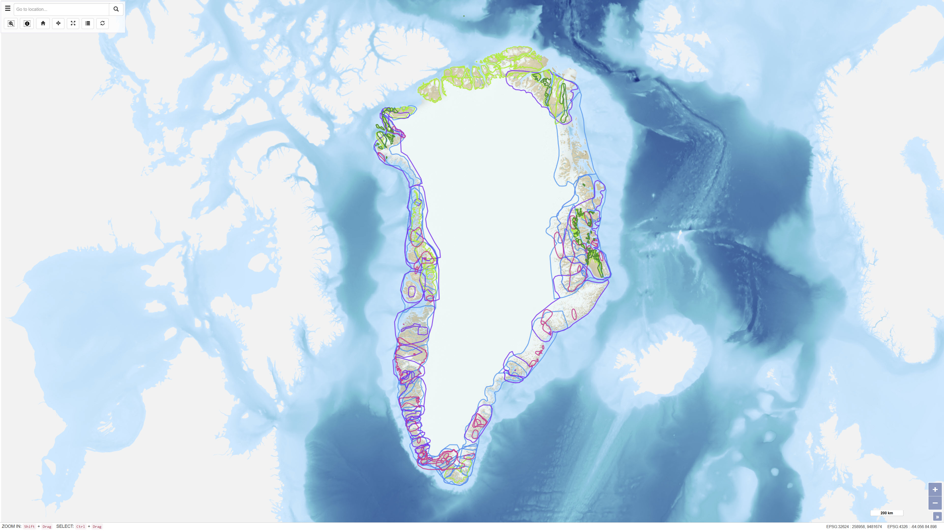
- The dataset is based on a series of expert workshops held between 2009 and 2014, where geologists from universities, research institutions, geological surveys and private companies assessed the potential for undiscovered mineral deposits within defined areas (Tracts). Assessments followed the USGS “three-part quantitative assessment” methodology, combining delineation of geologically permissive areas, expert estimates of the number of undiscovered deposits and statistical simulation based on grade-tonnage models. For each Tract, consensus estimates (N90, N50, N10, N05 and N01) were used as input to Monte Carlo simulations. The spatial delineation of Tracts represents areas with comparable geological characteristics and data coverage.
- File identifier
- 48a11eb7-5d2e-40ca-9eda-54883890f24a XML
- Metadata language
- Danskda
- Character set
- UTF8
- Hierarchy level
- Dataset
- Date stamp
- 2026-03-03T13:48:54.42187Z
- Metadata standard name
- ISO 19115:2003/19139
- Metadata standard version
- 1.0
Overviews
Spatial extent
Provided by
