 Arctic SDI catalogue
DK model 2019 – Simulation results
Simple
- Date ( Publication )
- 2022-08-25
- Identifier
- dk.geus / dk_dkmodel2019_simuleringsresultate
- Presentation form
- Digital map
- Purpose
- The purpose of the dataset is to provide access to model-calculated results from DK model 2019 and thereby support assessment of water balance, groundwater recharge, drawdown, impacts of water abstraction and changes in stream discharge. The dataset may be used for regional screening, documentation and further analysis of hydrological conditions and impacts, but should not be used as the sole basis for local-scale assessments without additional expert evaluation.
- Status
- Completed
- Maintenance and update frequency
- As needed
- Keywords ( Theme )
-
- Dataset
- Hydrological model
- Simulation results
- Water balance
- Groundwater recharge
- Drawdown
- Streamflow impact
- Forskningsemner Forskningsemner ( Theme )
- Geografisk Geografisk ( Place )
- Access constraints
- Other restrictions
- Use constraints
- Other restrictions
- Other constraints
- CC BY 4.0
- Other constraints
- The data are made available under the Creative Commons Attribution 4.0 International licence (CC BY 4.0). GEUS must be cited as the source when using the data. The dataset comprises model-calculated simulation results from DK model 2019 and must be used with due consideration of the regional purpose, input data, calibration, calculation assumptions and uncertainties of the model. The results are not direct observations and should not be used as the sole basis for local-scale decisions without a separate assessment. Use is at the user’s own responsibility.
- Spatial representation type
- Vector
- Spatial representation type
- Grid
- Denominator
- 1000000
- Metadata language
- Da
- Character set
- UTF8
- Topic category
-
- Geoscientific information
- Begin date
- 2011-01-01
- End date
- 2017-12-31
))
- Supplemental Information
- The dataset describes model-based simulation results from DK model 2019. The results should be interpreted as regional and national model calculations and not as direct observations. The model was developed and calibrated to provide an overall description of the water balance at large scale and is therefore not necessarily adapted to local variations. For local-scale applications, including assessment of impacts on specific streams, wetlands or abstraction catchments, a separate assessment of model suitability should be carried out and, where relevant, supplemented with detailed models or local data.
- Reference system identifier
- ETRS 89 / UTM 32N (EPSG:25832)
- Distribution format
-
-
WMS
(
)
-
MPKX
(
)
-
WMS
(
)
- OnLine resource
-
DK-model2019 - Simulation results (GIS)
(
WWW:DOWNLOAD-1.0-http--download
)
Download dataset from GEUS' Dataverse
- OnLine resource
-
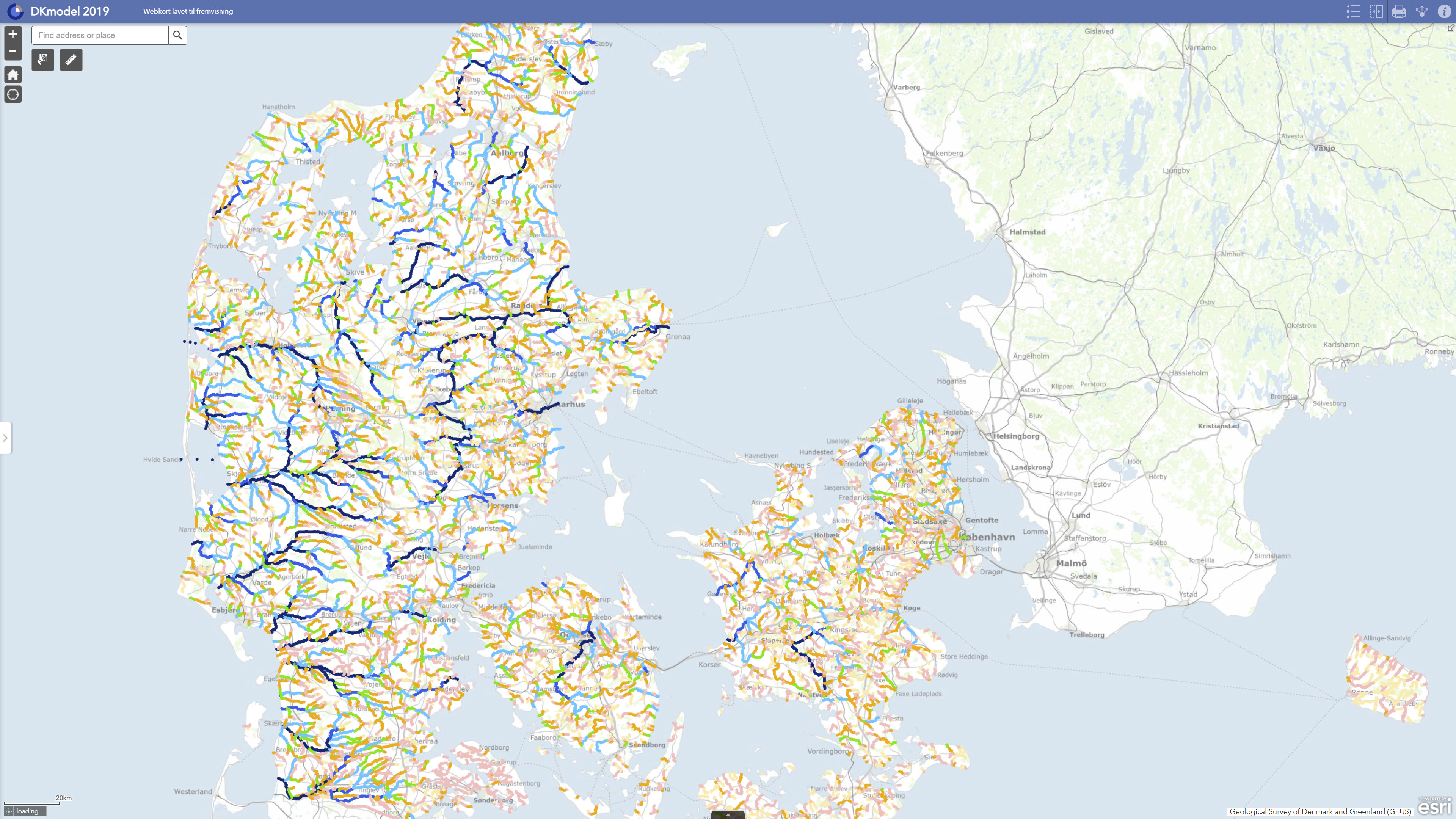
Interactive webmap
(
WWW:LINK-1.0-http--link
)
Interactive map displaying the dataset.
- OnLine resource
-
National Water Resource Model. Calculation of utilization rates, lowering and stream impact with DK model 2019
(
DOI
)
Henriksen, H. J., Voutchkova, D., Troldborg, L., Ondracek, M., Schullehner, J., & Hansen, B. (2019). National Water Resources Model. Calculation of utilization rates, lowering and watercourse impact with DK model 2019. GEUS. Geological Survey of Denmark and Greenland Report Vol. 2019 No. 32 https://doi.org/10.22008/gpub/32632
- OnLine resource
-
Simulation results
(
ESRI:REST
)
ArcGIS REST Service
- OnLine resource
-
Vandløbsafstrømning_Q9514745
(
OGC:WMS-1.3.0-http-get-capabilities
)
ArcGIS WMS Service
- OnLine resource
-
Data exhibition
(
WWW:LINK-1.0-http--link
)
GEUS displays data and results calculated with DK-model 2019 via GIS web portals. The data can be downloaded individually or together in GIS packages from Dataverse.
- Hierarchy level
- Dataset
- Statement
- The simulation results are derived from dynamic model runs with DK model 2019, GEUS’ national hydrological model for Denmark. The model was updated with new groundwater bodies, new hydrogeological mapping information and a new calibration against observed groundwater heads and stream discharge. The results were calculated based on the model setup’s climate input, water abstraction data, hydrogeological layers, stream network and other thematic input data. The calculations include water balance, groundwater recharge, exploitation rates, groundwater drawdown and impacts on streams. Streamflow impacts were calculated by comparing a situation with current abstraction against a reference scenario without abstraction, after which changes in flow regime and flow-related indicators were assessed. The results have subsequently been published as GIS layers and downloadable data packages through GEUS’ data portal and Dataverse.
- File identifier
- 4cbae84d-11d0-4fe8-a03e-9eb03d53cfef XML
- Metadata language
- Danskda
- Character set
- UTF8
- Hierarchy level
- Dataset
- Date stamp
- 2026-05-08T09:27:24.532498Z
- Metadata standard name
- ISO 19115:2003/19139
- Metadata standard version
- 1.0
Overviews
Spatial extent
Provided by
