 Arctic SDI catalogue
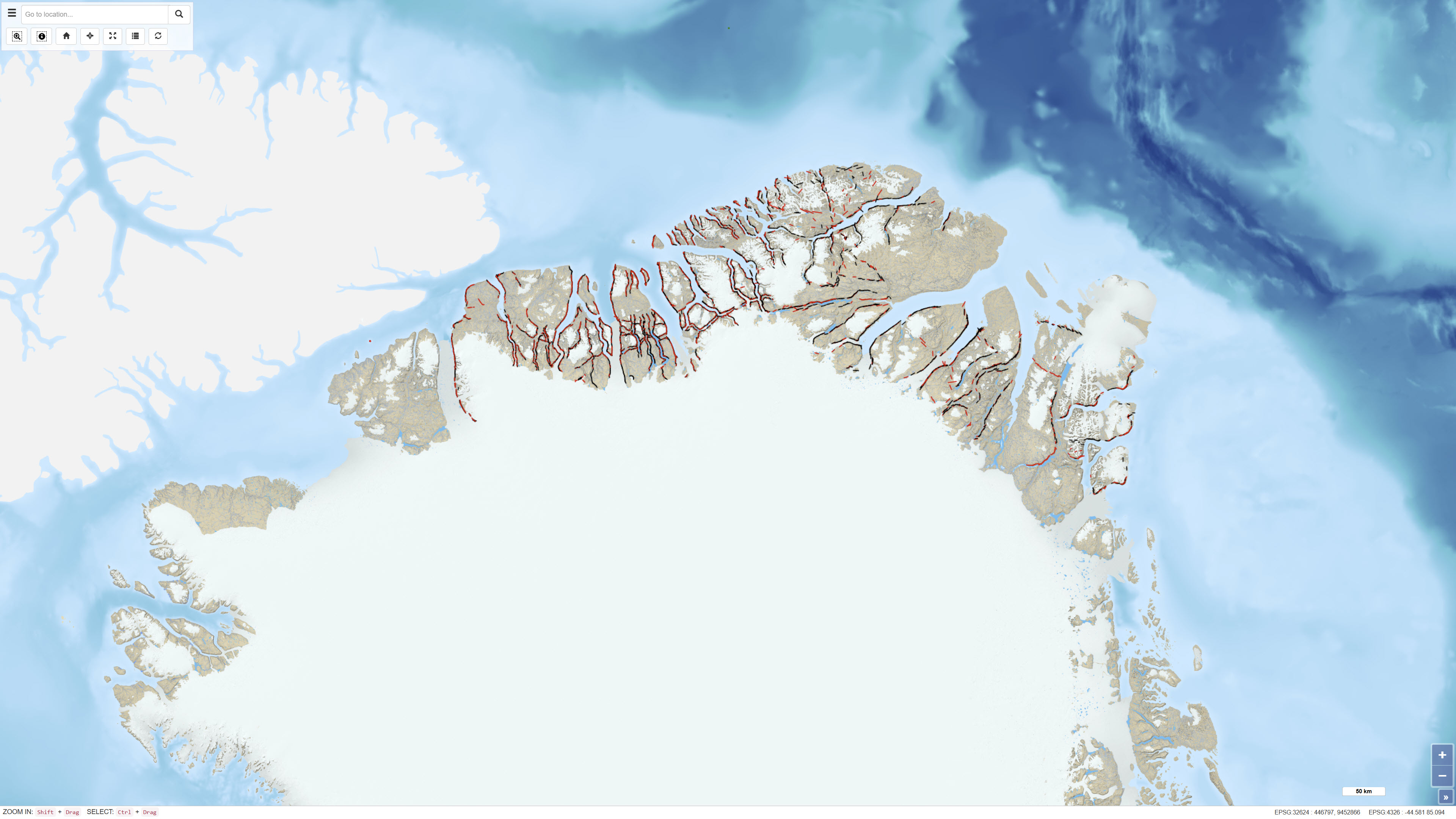
Northeast Greenland oblique aerial photographs
The dataset comprises more than 6,400 oblique aerial photographs acquired during the systematic 1:500,000 geological mapping programme in North Greenland carried out by the Geological Survey of Greenland (now GEUS) between 1978 and 1985.
The photographs document steep fjord and valley walls and were collected as part of geological field investigations. The images have been digitised and made available through a web-based interface, allowing users to access individual photographs, their geographic locations and associated geological coding linked to the regional geological map.
The dataset represents a systematic visual documentation of geological features in North and Northeast Greenland.
Simple
- Date ( Publication )
- 2012-01-01
- Identifier
- dk.geus / grl_northeast_greenland_oblique_photos
- Presentation form
- Digital map
- Purpose
- The purpose of the dataset is to provide access to historical oblique aerial photographs supporting geological mapping, interpretation and documentation of North and Northeast Greenland.
- Status
- Completed
- Maintenance and update frequency
- As needed
- Keywords ( Theme )
-
- Dataset
- Oblique aerial photographs
- Northeast Greenland
- Fieldwork
- Forskningsemner Forskningsemner ( Theme )
- Geografisk Geografisk ( Place )
- Access constraints
- Other restrictions
- Use constraints
- Other restrictions
- Other constraints
- CC BY 4.0
- Other constraints
- The photographs constitute historical documentation material and should be used with proper attribution to GEUS.
- Spatial representation type
- Vector
- Denominator
- 500000
- Metadata language
- en
- Character set
- UTF8
- Topic category
-
- Geoscientific information
- Begin date
- 1978-01-01
- End date
- 1985-03-11
))
- Supplemental Information
- The dataset forms part of the dissemination of the geological mapping work in North Greenland and complements the published geological maps at a scale of 1:500.000.
- Reference system identifier
- WGS 84 / UTM 24N (EPSG:32624)
- Distribution format
-
-
WMS
(
)
-
REST
(
)
-
WMS
(
)
- OnLine resource
-
Interactive webmap
(
WWW:LINK-1.0-http--link
)
Interactive map displaying the dataset.
- OnLine resource
-
North Greenland collection of oblique aerial photographs - (Twin Otter photos)
(
WWW:DOWNLOAD-1.0-http--download
)
Search for publications by GEUS researchers in GEUS' Publications
- OnLine resource
-
NEGreenland_ObliquePhotos
(
ESRI:REST
)
ArcGIS REST Service
- OnLine resource
-
Oblique_colour
(
OGC:WMS-1.3.0-http-get-capabilities
)
ArcGIS WMS Service
- Hierarchy level
- Dataset
- Statement
-
The photographs were acquired as part of the 1:500,000 geological mapping programme in North Greenland conducted between 1978 and 1985 by the Geological Survey of Greenland. The oblique aerial photography programme focused on systematic documentation of fjord and valley exposures.
The analogue photographs were subsequently digitised and georeferenced. Image positions were linked to geological coding and regional geological map information before publication in a web-based system.
- File identifier
- 510d1b45-cdfa-441c-b34b-49e49073a733 XML
- Metadata language
- Danskda
- Character set
- UTF8
- Hierarchy level
- Dataset
- Date stamp
- 2026-02-27T15:10:44.592377Z
- Metadata standard name
- ISO 19115:2003/19139
- Metadata standard version
- 1.0
Overviews
Spatial extent
Provided by
