 Arctic SDI catalogue
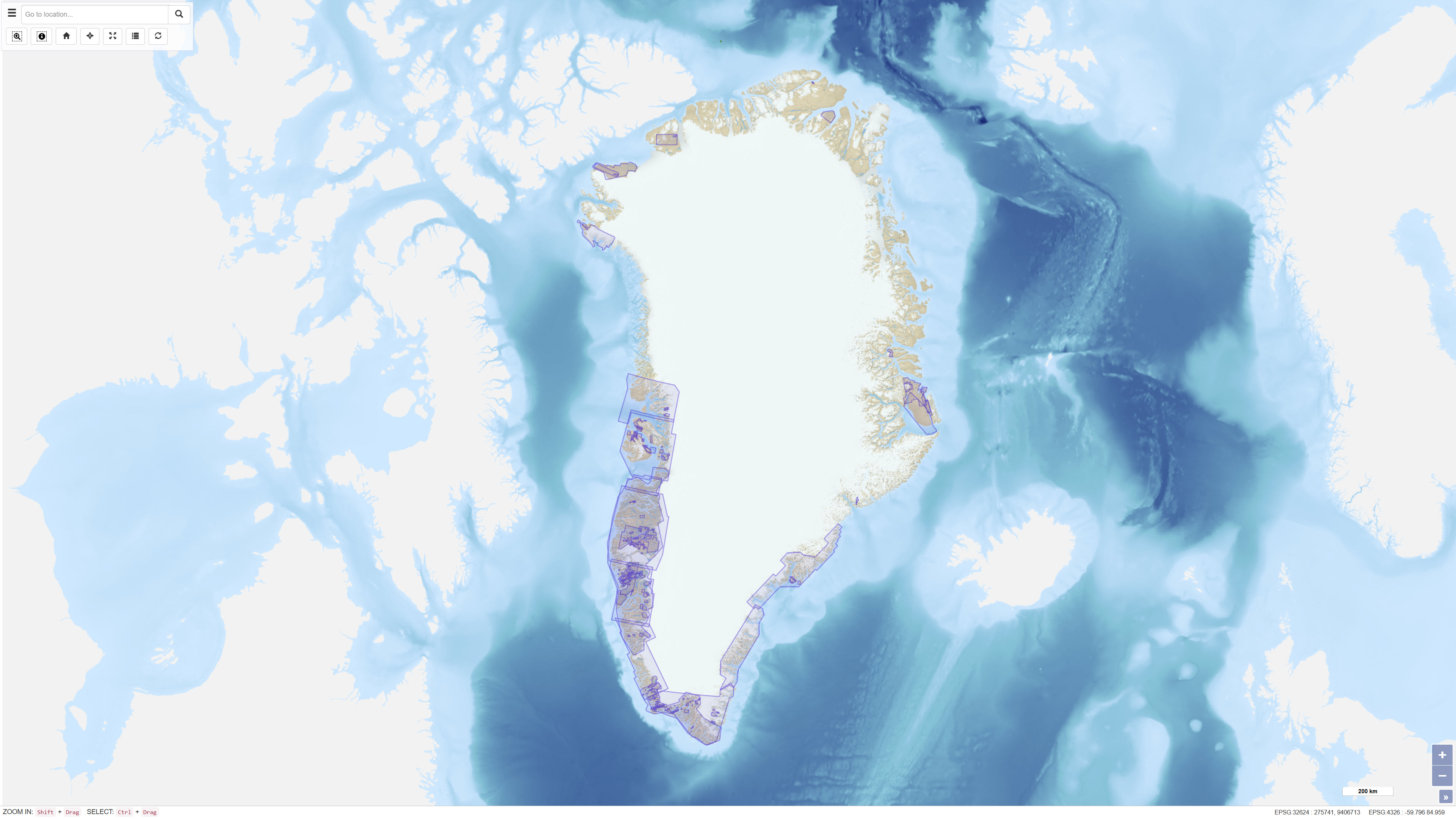
Geophysical survey data, Greenland
The dataset comprises geophysical survey data available through the Greenland Mineral Resources Portal. The data include both released company data and publicly funded survey data, primarily airborne electromagnetic (AEM) and aeromagnetic (Aeromag) surveys.
The AEM Greenland 1994–1998 project encompassed high-resolution, multi-parameter airborne surveys including electromagnetic, magnetic and partly radiometric measurements conducted between 1994 and 1998, producing approximately 75,000 line kilometres of data.
The Aeromag projects included high-resolution airborne magnetic surveys conducted in 1992, 1995, 1996, 1997, 1998, 1999, 2001, 2012 and 2013, producing more than 550,000 line kilometres of data. The projects were financed by the governments of Greenland and Denmark.
The dataset provides regional geophysical coverage supporting geological interpretation, mineral exploration and geoscientific research in Greenland.
Simple
- Date ( Publication )
- 2023-12-04
- Identifier
- dk.geus / grl_geophysical_survey_data
- Presentation form
- Digital map
- Purpose
- The purpose of the dataset is to provide access to regional airborne geophysical survey data to support geological mapping, mineral exploration and research activities in Greenland.
- Status
- Completed
- Maintenance and update frequency
- As needed
- Keywords ( Theme )
-
- Dataset
- Geophysics
- Airborne geophysics
- AEM
- Aeromagnetics
- Magnetic data
- Electromagnetic data
- Greenland
- Mineral exploration
- Forskningsemner Forskningsemner ( Theme )
- Geografisk Geografisk ( Place )
- Access constraints
- Other restrictions
- Use constraints
- Other restrictions
- Other constraints
- CC BY 4.0
- Other constraints
- The dataset is a compilation of multiple surveys with varying data density and methodology. Use should consider the documentation of individual subprojects.
- Spatial representation type
- Grid
- Denominator
- 100000
- Metadata language
- Da
- Character set
- UTF8
- Topic category
-
- Geoscientific information
- Begin date
- 1992-01-01
- End date
- 2023-12-04
))
- Supplemental Information
- The dataset is available via the Greenland Mineral Resources Portal and includes both historical and more recent airborne geophysical surveys.
- Reference system identifier
- WGS 84 / UTM 24N (EPSG:32624)
- Distribution format
-
-
WMS
(
)
-
WFS
(
)
-
SHP
(
)
-
GeoJSON
(
)
-
WMS
(
)
- OnLine resource
-
Interactive webmap
(
WWW:LINK-1.0-http--link
)
Interactive map displaying the dataset.
- OnLine resource
-
Report
(
WWW:DOWNLOAD-1.0-http--download
)
Thorkild M. Rasmussen, Leif Thorning, Peter Riisager and Tapani Tukiainen, 2013: Airborne geophysical data from Greenland. Geology and Ore 22
- OnLine resource
-
geophysical_surveys_for_sale
(
OGC:WMS-1.3.0-http-get-capabilities
)
WMS for Geophysical Surveys for sale
- OnLine resource
-
ms:geophysical_surveys_for_sale
(
OGC:WFS-1.0.0-http-get-capabilities
)
WFS for Geophysical Surveys for sale
- OnLine resource
-
Download
Download dataset as shapefile
- OnLine resource
-
Download
Download dataset as GeoJSON
- Hierarchy level
- Dataset
- Statement
-
The dataset represents a compilation of airborne geophysical surveys conducted in Greenland between 1992 and 2013. It includes publicly funded surveys (AEM and Aeromag) and released company data made available through the Greenland Mineral Resources Portal.
The AEM surveys were conducted between 1994 and 1998 using multi-parameter airborne systems measuring electromagnetic, magnetic and radiometric responses. The Aeromag surveys were conducted in multiple campaigns between 1992 and 2013 using airborne magnetometers. Data acquisition was performed using systematic flight line spacing and GPS positioning, ensuring compatibility between surveys. Detailed technical documentation is provided in Geology and Ore No. 22.
- File identifier
- 55975817-5b05-4d91-9cc5-d736f45cf8be XML
- Metadata language
- Danskda
- Character set
- UTF8
- Hierarchy level
- Dataset
- Date stamp
- 2026-03-02T12:17:12.416767Z
- Metadata standard name
- ISO 19115:2003/19139
- Metadata standard version
- 1.0
Overviews
Spatial extent
Provided by
