 Arctic SDI catalogue
Overview of Cumulative Effects Research at Natural Resources Canada 2018-2023
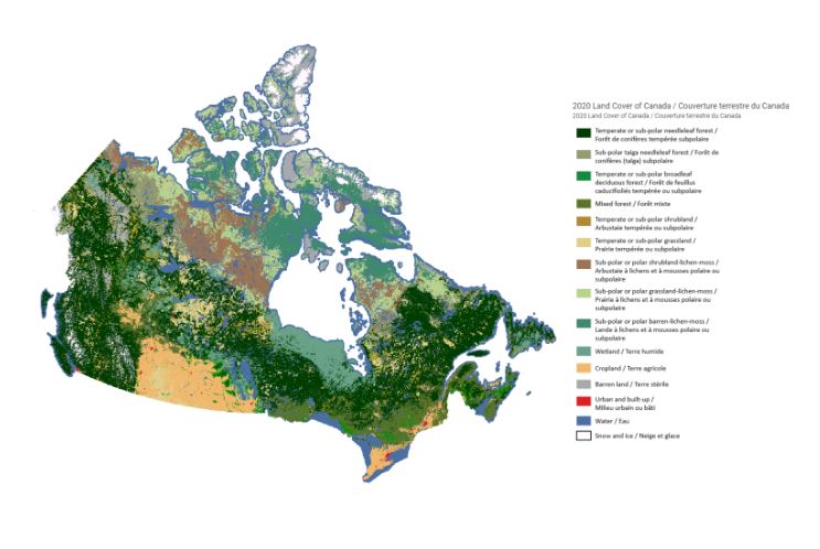
To support the implementation of the Impact Assessment Act, Natural Resources Canada (NRCan) received funding over five years (2018-23) for cumulative effects research to be conducted by three of NRCan’s science sectors – the Canada Centre for Mapping and Earth Observation within the Strategic Policy and Innovation Sector, the Canadian Forest Service, and the Geological Survey of Canada within the Lands and Minerals Sector – to conduct key earth observation, forest, and geoscience research. The overarching goal of this research is to inform regional assessment and related impact assessment processes, with a central focus on making the science and knowledge generated open and accessible to the public via the Open Science and Data Platform . Projects from all three sectors generated authoritative data on the status and trends of ecosystem parameters, as well as provided unique science and technical analysis, synthesis and advice on topics related to the cumulative effects of natural resource development. This Story Map synthesizes the cumulative effects science generated over the past five years. Through the Story Map platform, we hope to illustrate the national scale of this research program and the diversity of locations in Canada within which research has been conducted.
Simple
- Date ( RI_367 )
- 2022-07-05
- Date ( RI_366 )
- 2023-10-05
- Status
- onGoing; enContinue RI_596
- Maintenance and update frequency
- asNeeded; auBesoin RI_540
- Keywords ( RI_528 )
-
- cumulative effects
- Government of Canada Core Subject Thesaurus Thésaurus des sujets de base du gouvernement du Canada ( RI_528 )
-
- Climate change
- Resource development
- Mining industry
- Maps
- Geology
- Forestry
- Environmental impact assessment
- Use limitation
- Open Government Licence - Canada (http://open.canada.ca/en/open-government-licence-canada)
- Access constraints
- license; licence RI_606
- Use constraints
- license; licence RI_606
- Spatial representation type
- vector; vecteur RI_635
- Metadata language
- eng; CAN
- Topic category
-
- Environment
- Climatology, meteorology, atmosphere
- Imagery base maps earth cover
- Geoscientific information
- Economy
- Begin date
- 2018-09-01
- End date
- 2023-03-30
N
S
E
W
))
- Reference system identifier
- http://www.epsg-registry.org / EPSG:3978 /
- Distribution format
-
-
Web App
(
unknown
)
-
Web App
(
unknown
)
RI_412
Government of Canada;Natural Resources Canada;Canada Centre for Mapping and Earth Observation
-
(
)
- OnLine resource
-
Overview of Cumulative Effects Research at NRCan
(
HTTPS
)
Web Service;Web App;eng
- OnLine resource
-
Overview of Cumulative Effects Research at NRCan
(
HTTPS
)
Web Service;Web App;fra
- File identifier
- 59682261-6088-4dc6-959d-0a4e4363c987 XML
- Metadata language
- eng; CAN
- Character set
- utf8; utf8 RI_458
- Hierarchy level
- dataset; jeuDonnées RI_622
- Date stamp
- 2023-10-10T13:15:10
- Metadata standard name
- North American Profile of ISO 19115:2003 - Geographic information - Metadata
- Metadata standard version
- CAN/CGSB-171.100-2009
Overviews
Overview of Cumulative Effects Research at NRCan
Overview of Cumulative Effects Research at NRCan
Spatial extent
N
S
E
W
Provided by

Associated resources
Not available