 Arctic SDI catalogue
DK model 2019 – Model data
Simple
- Date ( Publication )
- 2022-08-25
- Identifier
- dk.geus / dk_dkmodel2019_modeldata
- Presentation form
- Digital map
- Purpose
- The purpose of the dataset is to provide access to and document the model data underlying DK model 2019. The dataset supports understanding, reuse and quality assurance of the model basis and enables users to assess the model structure, data basis and applicability for regional hydrological analyses, screening and planning of more detailed investigations.
- Status
- Completed
- Maintenance and update frequency
- As needed
- Keywords ( Theme )
-
- Dataset
- Hydrological model
- Model data
- Groundwater
- Water balance
- Hydrogeology
- DK model 2019
- Forskningsemner Forskningsemner ( Theme )
- Geografisk Geografisk ( Place )
- Access constraints
- Other restrictions
- Use constraints
- Other restrictions
- Other constraints
- CC BY 4.0
- Other constraints
- The data are made available under the Creative Commons Attribution 4.0 International licence (CC BY 4.0). GEUS must be cited as the source when using the data. The dataset comprises model data from DK model 2019 and must be used with due consideration of the regional purpose, model structure, input data, calibration and uncertainties of the model. Use is at the user’s own responsibility. If the model concept or the conceptual model is changed, including the hydrostratigraphic model, GEUS should be informed.
- Spatial representation type
- Vector
- Spatial representation type
- Grid
- Denominator
- 1000000
- Metadata language
- Da
- Character set
- UTF8
- Topic category
-
- Geoscientific information
- Begin date
- 1990-01-01
- End date
- 2018-12-31
))
- Supplemental Information
- The dataset describes the model basis for DK model 2019 and should be used together with the report documentation and the associated calibration and simulation results. The model was developed to describe the hydrological cycle and water balance at regional and national scales. For local-scale applications, a separate assessment of model suitability should be carried out, including whether the model structure, input data, calibration and spatial resolution are sufficient for the specific use case.
- Reference system identifier
- ETRS 89 / UTM 32N (EPSG:25832)
- Distribution format
-
-
WMS
(
)
-
MPKX
(
)
-
WMS
(
)
- OnLine resource
-
DK-model2019 - Model data (GIS)
(
WWW:DOWNLOAD-1.0-http--download
)
Download dataset from GEUS' Dataverse
- OnLine resource
-
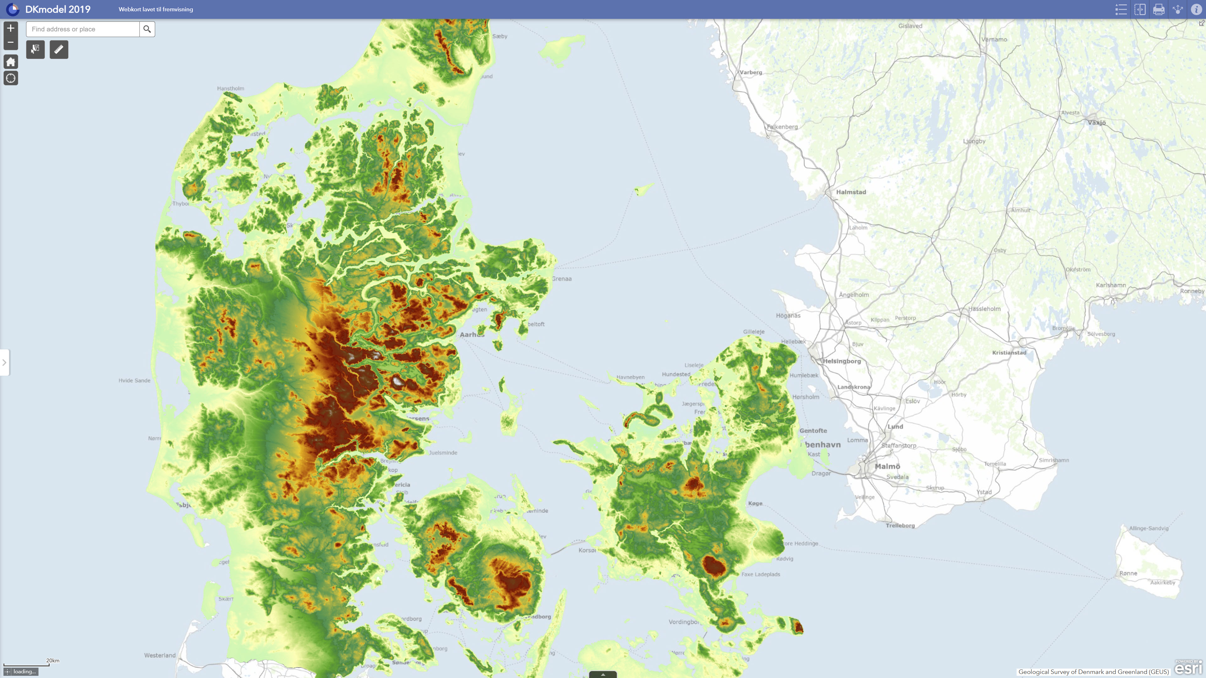
Interactive webmap
(
WWW:LINK-1.0-http--link
)
Interactive map displaying the dataset.
- OnLine resource
-
National Water Resource Model. Calculation of utilization rates, lowering and stream impact with DK model 2019
(
DOI
)
Henriksen, H. J., Voutchkova, D., Troldborg, L., Ondracek, M., Schullehner, J., & Hansen, B. (2019). National Water Resources Model. Calculation of utilization rates, lowering and watercourse impact with DK model 2019. GEUS. Geological Survey of Denmark and Greenland Report Vol. 2019 No. 32 https://doi.org/10.22008/gpub/32632
- OnLine resource
-
Data exhibition
(
WWW:LINK-1.0-http--link
)
GEUS displays data and results calculated with DK-model 2019 via GIS web portals. The data can be downloaded individually or together in GIS packages from Dataverse.
- OnLine resource
-
Model data
(
ESRI:REST
)
ArcGIS REST Service
- OnLine resource
-
Modeltopografi_i_50m-grid61993
(
OGC:WMS-1.3.0-http-get-capabilities
)
ArcGIS WMS Service
- Hierarchy level
- Dataset
- Statement
- The model data were established as part of DK model 2019, GEUS’ national hydrological model for Denmark. The model setup is based on a hydrogeological interpretation model including aquifer layers, clay layers and pre-Quaternary units. For Jutland, the model is based on the FOHM compilations, while Funen, Zealand and the islands are based on DK model 2014 with subsequent integration of hydrogeological mapping models up to and including 2018. For Bornholm, the hydrogeological model is based on earlier DK model data. The model includes Quaternary sand layers, pre-Quaternary sand layers, chalk and regional hydrostratigraphic units. Climate input consists of daily values for dynamically corrected precipitation, reference evapotranspiration and temperature based on DMI climate grids. Water abstraction data were extracted from the national borehole database JUPITER and incorporated at waterworks, borehole and intake level, with abstractions distributed in the model according to the available information. The model data were used as the basis for dynamic model runs, calibration, validation and subsequent calculations of water balance, groundwater recharge, exploitation rates, drawdown and streamflow impacts.
- File identifier
- 71c462c1-ac70-4a50-ad56-5297aafdd7df XML
- Metadata language
- Danskda
- Character set
- UTF8
- Hierarchy level
- Dataset
- Date stamp
- 2026-05-08T09:25:42.55687Z
- Metadata standard name
- ISO 19115:2003/19139
- Metadata standard version
- 1.0
Overviews
Spatial extent
Provided by
