 Arctic SDI catalogue
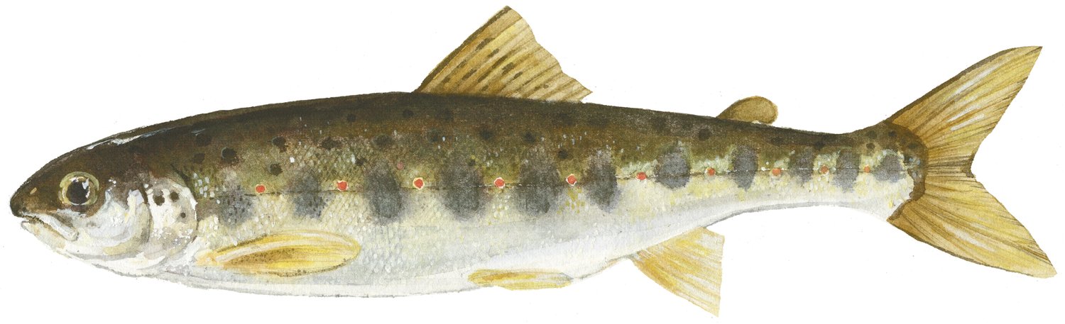
Electrofishing Data from Nova Scotian Rivers (SFA 18A, 18B)
PURPOSE:
To track juvenile Atlantic salmon densities.
DESCRIPTION:
Indices of freshwater production are derived annually from electrofishing surveys in the rivers of Nova Scotia flowing into the Gulf of St. Lawrence. Fixed site sampling for juvenile salmon has been conducted most consistently since the mid-1980s for these rivers. Juvenile salmon abundances at sites, in terms of number of fish per habitat area sampled by age or size group (densities), are obtained using successive removal sampling or catch per unit effort sampling calibrated to densities. Sampling intensities vary among years and among rivers.
PARAMETERS COLLECTED:
distribution (ecological); species counts (ecological); point (spatial)
USE LIMITATION:
To ensure scientific integrity and appropriate use of the data, we would encourage you to contact the data custodian.
Simple
- Date ( RI_366 )
- 1991
- Date ( RI_367 )
- 2023-05-16
- Date ( RI_368 )
- 2026-05-07
- Purpose
- To track juvenile Atlantic salmon densities
- Status
- onGoing; enContinue RI_596
- Maintenance and update frequency
- annually; annuel RI_539
- NASA/Global Change Master Directory (GCMD) Science Keywords Version 6.0.0.0.0 NASA/Global Change Master Directory (GCMD) Science Keywords Version 6.0.0.0.0 ( RI_528 )
-
- Salmons/Trouts
- RIVERS/STREAM
- ELECTROFISHING
- Integrated Taxonomic Information System (ITIS) Système d'information taxonomique intégré (SITI) ( RI_528 )
-
- Salmo salar
- Government of Canada Core Subject Thesaurus Thésaurus des sujets de base du gouvernement du Canada ( RI_528 )
-
- Fish
- DFO Areas Zones du MPO ( RI_525 )
-
- Gulf of St. Lawrence
- Use limitation
- Open Government Licence - Canada (http://open.canada.ca/en/open-government-licence-canada)
- Access constraints
- license; licence RI_606
- Use constraints
- license; licence RI_606
- Use limitation
- To ensure scientific integrity and appropriate use of the data, we would encourage you to contact the data custodian.
- Use limitation
- No limitations
- Classification
- unclassified; nonClassifié RI_484
- Spatial representation type
- textTable; texteTable RI_637
- Metadata language
- eng; CAN
- Character set
- utf8; utf8 RI_458
- Topic category
-
- Biota
- Inland waters
- Begin date
- 1991
- End date
- 2025
- Description
- Margaree River (SFA 18B) and East River (Pictou), River Philip, West River (Antigonish) (SFA 18A)
))
- Reference system identifier
- http://www.epsg-registry.org / EPSG:4326
- Distribution format
-
-
CSV
(
n/a
)
-
CSV
(
n/a
)
- OnLine resource
-
Site Data - 18A
(
HTTPS
)
Dataset;CSV;eng,fra
- OnLine resource
-
Site Data - 18B
(
HTTPS
)
Dataset;CSV;eng,fra
- OnLine resource
-
Specimen Data - 18A
(
HTTPS
)
Dataset;CSV;eng,fra
- OnLine resource
-
Specimen Data - 18B
(
HTTPS
)
Dataset;CSV;eng,fra
- OnLine resource
-
Data Dictionary
(
HTTPS
)
Supporting Document;CSV;eng,fra
- OnLine resource
-
Supplementary citation list
(
HTTPS
)
Supporting Document;PDF;eng,fra
- OnLine resource
-
Catch Summary by Year and by Site
(
ESRI REST: Map Service
)
Web Service;ESRI REST;eng
- OnLine resource
-
Catch Summary by Year and by Site
(
ESRI REST: Map Service
)
Web Service;ESRI REST;fra
- File identifier
- 73c3293c-72bc-53aa-dc3d-c21143197490 XML
- Metadata language
- eng; CAN
- Character set
- utf8; utf8 RI_458
- Hierarchy level
- dataset; jeuDonnées RI_622
- Date stamp
- 2026-05-07T12:45:47.974097Z
- Metadata standard name
- North American Profile of ISO 19115:2003 - Geographic information - Metadata
- Metadata standard version
- CAN/CGSB-171.100-2009
Overviews
Spatial extent
Provided by
