 Arctic SDI catalogue
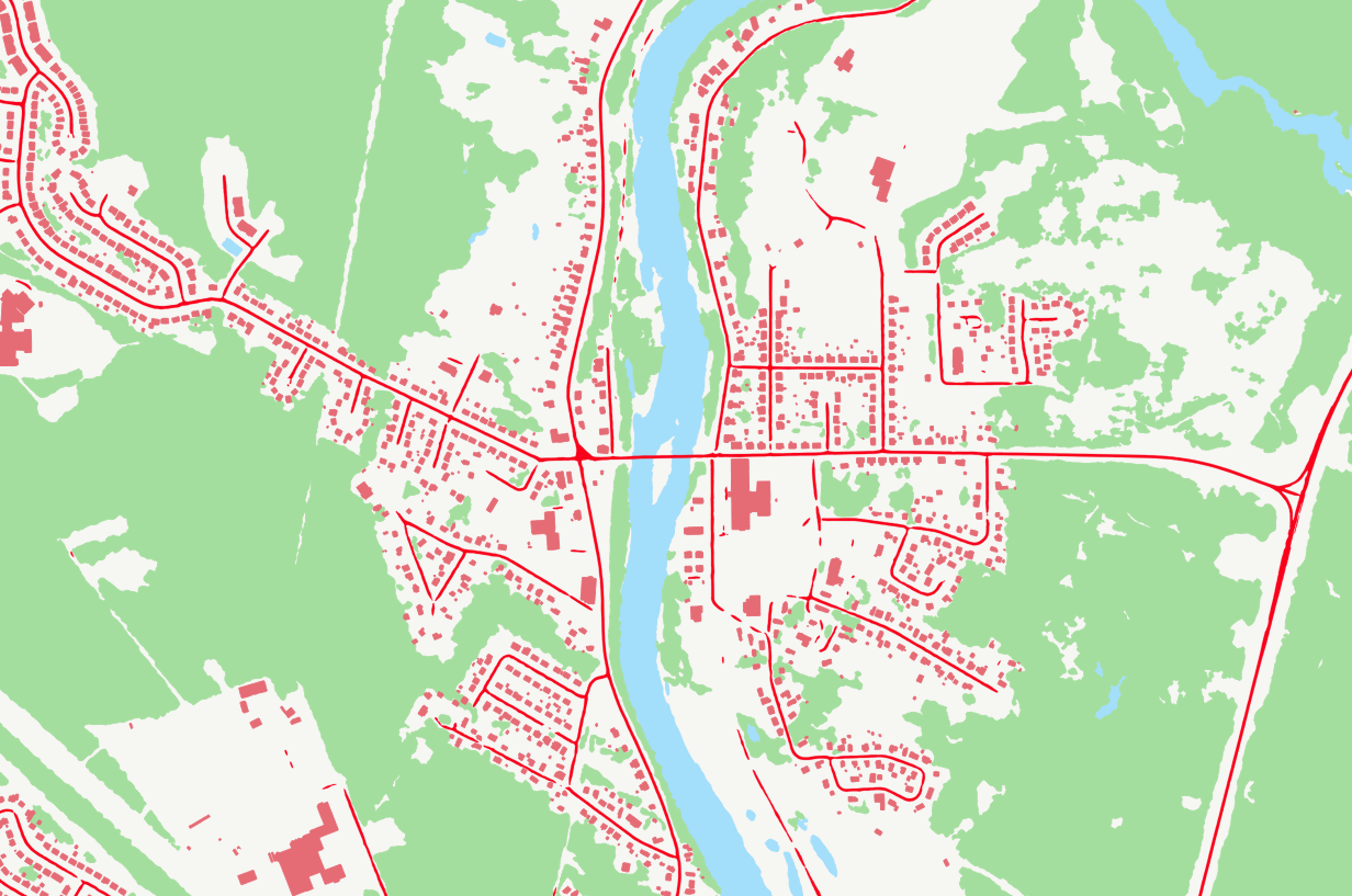
GeoAI - GeoBase Series
GeoAI are buildings, hydrography, forests, and roads automatically extracted using Deep Learning models applied to a source dataset, typically aerial or satellite images. The primary aim of GeoAI is to increase Canada's availability of high-resolution foundational geospatial data for both spatial and temporal coverage.
The infrastructure and expertise put in place by NRCan enables a rapid, efficient, and scalable data creation process through the use of leading-edge technology and Artificial Intelligence models. Published datasets for a given source can be revisited at a later date as more accurate models are developed and put into production. For now, only static files are available, but as the series develops, new products and services will be added.
Several use cases of GeoAI data for change detection have been created. To view them, please follow the links below:
- Iqaluit: https://open.canada.ca/data/en/dataset/ef29513d-a007-408c-beba-65f86e7b5b01
- Calgary: https://open.canada.ca/data/en/dataset/bd07b597-5166-4b62-ae9c-245b3c62ea03
- Québec City: https://open.canada.ca/data/en/dataset/4026720e-f7fb-478e-a58f-c62ebe20005d
- Winnipeg: https://open.canada.ca/data/en/dataset/a6874aac-cfcd-4b92-bb3f-6031eedb5b57
- Victoria: https://open.canada.ca/data/en/dataset/f011c7b9-f79e-42f8-9481-9bf9788bb189
- Trois-Rivières: https://open.canada.ca/data/en/dataset/2b11a323-52c2-43d5-9c09-bc4b15b1bcc8
Simple
- Date ( RI_366 )
- 2023-05
- Date ( RI_367 )
- 2026-06
- Status
- onGoing; enContinue RI_596
- Maintenance and update frequency
- irregular; irrégulier RI_541
- Keywords ( RI_524 )
-
- Earth Sciences
- Keywords ( RI_529 )
-
- GeoBase
- GeoAI
- Keywords ( RI_528 )
-
- Artificial intelligence
- Deep learning
- Automatic Extraction
- Vector Data Production
- Topography
- Buildings
- Hydrography
- Forests
- Roads
- Government of Canada Core Subject Thesaurus Thésaurus des sujets de base du gouvernement du Canada ( RI_528 )
-
- Artificial intelligence
- Geographic data
- Use limitation
- Open Government Licence - Canada (http://open.canada.ca/en/open-government-licence-canada)
- Access constraints
- license; licence RI_606
- Use constraints
- license; licence RI_606
- Spatial representation type
- vector; vecteur RI_635
- Metadata language
- eng; CAN
- Metadata language
- fra; CAN
- Character set
- utf8; utf8 RI_458
- Topic category
-
- Imagery base maps earth cover
))
- Begin date
- 2000
- Reference system identifier
- https://www.epsg-registry.org / EPSG:4617 /
- Distribution format
-
-
FGDB/GDB
(
10
)
-
GPKG
(
1.3.1
)
-
SHP
(
1998
)
-
ESRI REST
(
10.8.1
)
-
FGDB/GDB
(
10
)
- OnLine resource
-
GeoAI Data Index
(
ESRI REST: Map Server
)
Web Service;ESRI REST;fra
- OnLine resource
-
GeoAI Data Index
(
ESRI REST: Map Server
)
Web Service;ESRI REST;eng
- OnLine resource
-
Prepackaged Shapefiles (download directory)
(
HTTPS
)
Dataset;SHP;zxx
- OnLine resource
-
Prepackaged FGDB files (download directory)
(
HTTPS
)
Dataset;FGDB/GDB;zxx
- OnLine resource
-
Prepackaged GPKG files (download directory)
(
HTTPS
)
Dataset;GPKG;zxx
- OnLine resource
-
GeoAI Data Index
(
HTTPS
)
Dataset;KMZ;zxx
- OnLine resource
-
Product documentation (English)
(
HTTPS
)
Supporting Document;PDF;eng
- OnLine resource
-
Product documentation (French)
(
HTTPS
)
Supporting Document;PDF;fra
- File identifier
- 74738ff5-5367-5958-9aee-98fffdcd1876 XML
- Metadata language
- eng; CAN
- Character set
- utf8; utf8 RI_458
- Hierarchy level
- series; série RI_623
- Date stamp
- 2026-06-26T17:01:58
- Metadata standard name
- North American Profile of ISO 19115:2003 - Geographic information - Metadata
- Metadata standard version
- CAN/CGSB-171.100-2009
Overviews
Spatial extent
Provided by
