 Arctic SDI catalogue
Coastal Temperature Monitoring Program in the Southern Gulf of St. Lawrence
PURPOSE:
The objective of the program is to gather environmental coastal data to better understand fluctuations in water temperature and its effect on coastal marine species.
DESCRIPTION:
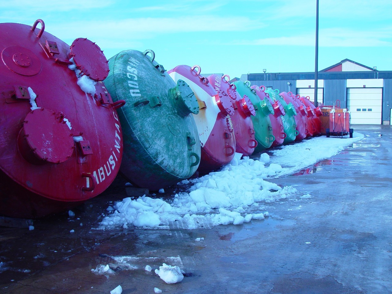
Bottom and surface water temperatures are monitored in coastal waters of the southern Gulf of St. Lawrence using electronic recording devices attached to navigational buoys or moorings and set to record every two hours.
PARAMETERS COLLECTED:
Temperature (environmental); point (spatial).
NOTES ON QUALITY CONTROL:
Data are checked for irregularities.
SAMPLING METHODS:
Temperature recording devices are installed by fishermen, DFO staff and, since 2000, by the Canadian Coast Guard staff.
USE LIMITATION:
To ensure scientific integrity and appropriate use of the data, we would encourage you to contact the data custodian.
Simple
- Date ( RI_366 )
- 1995
- Date ( RI_367 )
- 2026-05-01
- Purpose
- The objective of the program is to gather environmental coastal data to better understand fluctuations in water temperature and its effect on coastal marine species.
- Status
- onGoing; enContinue RI_596
- Maintenance and update frequency
- irregular; irrégulier RI_541
- NASA/Global Change Master Directory (GCMD) Science Keywords Version 6.0.0.0.0 NASA/Global Change Master Directory (GCMD) Science Keywords Version 6.0.0.0.0 ( RI_528 )
-
- Aquatic Ecosystems
- Ocean Temperature
- Government of Canada Core Subject Thesaurus Thésaurus des sujets de base du gouvernement du Canada ( RI_528 )
-
- Habitats
- Temperature
- DFO Areas Zones du MPO ( RI_525 )
-
- Gulf of St. Lawrence
- Use limitation
- Open Government Licence - Canada (http://open.canada.ca/en/open-government-licence-canada)
- Access constraints
- license; licence RI_606
- Use constraints
- license; licence RI_606
- Use limitation
- To ensure scientific integrity and appropriate use of the data, we would encourage you to contact the data custodian.
- Use limitation
- No limitations
- Classification
- unclassified; nonClassifié RI_484
- Spatial representation type
- textTable; texteTable RI_637
- Metadata language
- eng; CAN
- Character set
- utf8; utf8 RI_458
- Topic category
-
- Biota
- Begin date
- 1995
- Description
- Lobster Fishing Areas (LFA) 23A, 23B, 23C, 23D, 24, 25, 26A and 26B
))
- Reference system identifier
- http://www.epsg-registry.org / EPSG:4326
- Distribution format
-
-
CSV
(
n/a
)
-
ESRI REST
(
n/a
)
-
PDF
(
n/a
)
-
CSV
(
n/a
)
- OnLine resource
-
Coastal Temperatures sGSL 1995-2024
(
HTTPS
)
Dataset;CSV;eng,fra
- OnLine resource
-
Data Dictionary
(
HTTPS
)
Supporting Document;CSV;eng,fra
- OnLine resource
-
Supplementary citation list
(
HTTPS
)
Supporting Document;PDF;eng,fra
- OnLine resource
-
Coastal Temperatures sGSL
(
ESRI REST: Map Service
)
Web Service;ESRI REST;eng
- OnLine resource
-
Coastal Temperatures sGSL
(
ESRI REST: Map Service
)
Web Service;ESRI REST;fra
- File identifier
- 7b4dfe38-93fc-11ea-a1ef-f48c505b2a29 XML
- Metadata language
- eng; CAN
- Character set
- utf8; utf8 RI_458
- Hierarchy level
- dataset; jeuDonnées RI_622
- Date stamp
- 2026-05-12T19:26:08.310591Z
- Metadata standard name
- North American Profile of ISO 19115:2003 - Geographic information - Metadata
- Metadata standard version
- CAN/CGSB-171.100-2009
Overviews
Spatial extent
Provided by
