 Arctic SDI catalogue
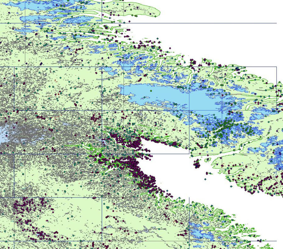
Vector Digital Topographic Map - VMap1, 1945 -1996
The VMap1 collection is a legacy product that is no longer supported. It may not meet current government standards.
VMap1 is a vector digital topographic reference product developed by Natural Resources Canada (NRCan) and The Department of National Defence (DND). VMap1 complies with international military specifications vector map, level 1. There are 24 VMap1 libraries covering the Canadian territory. The National Topographic Data Base (NTDB) at scale of 1:250 000 is the main source used to populate the Canadian VMap1 Libraries. Administrative Boundaries from Statistics Canada are used to add international borders, provincial and Indian reserve limits. NRCan paper maps at scale of 1:250 000 and the information in the Canadian Geographical Names Data Base (CGNDB) are used to capture the names. The JOG (Joint Operations Graphic) paper maps were used by DND for the production of libraries 37, 38 and 66. Topographic features mainly from the NTDB have not been updated. VMap1 is published once and no product revision is planned.
Simple
- Alternate title
- VMap1
- Alternate title
- Vector Map Level 1
- Date ( RI_367 )
- 2003
- Date ( RI_366 )
- 1995
- Presentation form
- mapDigital;carteNumérique RI_391
- Name
- VMap1
- Issue identification
- 1.0
- Purpose
-
The VMap1 product is designed to support Geographic Information System (GIS) applications with geographic data at medium resolution.
VMap1's many attributes allow for extensive spatial analysis.
- Status
- historicalArchive; archiveHistorique RI_594
- Maintenance and update frequency
- notPlanned; nonPlanifié RI_542
- Keywords ( RI_529 )
-
- VMAP
- VMAP1
- Military mapping
- Keywords ( RI_524 )
-
- Earth Science
- Keywords ( RI_528 )
-
- Vegetation
- Administrative boundaries
- Water saturated soils
- Land use
- Topography
- Government of Canada Core Subject Thesaurus Thésaurus des sujets de base du gouvernement du Canada ( RI_528 )
-
- Communications
- Energy
- Geomatics
- Hydrography
- Infrastructures
- Geographical maps
- Use limitation
- Open Government Licence - Canada (http://open.canada.ca/en/open-government-licence-canada)
- Access constraints
- license; licence RI_606
- Use constraints
- license; licence RI_606
- Spatial representation type
- vector; vecteur RI_635
- Denominator
- 250000
- Metadata language
- eng; CAN
- Metadata language
- fra; CAN
- Character set
- utf8; utf8 RI_458
- Topic category
-
- Imagery base maps earth cover
- Description
- Canada
))
- Begin date
- 1945
- End date
- 1996
- Reference system identifier
- https://www.epsg-registry.org / EPSG:4326 / 7.6
- Reference system identifier
- https://www.epsg-registry.org / EPSG:5713 / 7.6
- Geometric object type
- point; point RI_508
- Geometric object type
- curve; courbe RI_507
- Geometric object type
- surface; surface RI_510
- Distribution format
-
-
SHP
(
N/A
)
- Specification
- ESRI Shapefile Technical Description, an ESRI White Paper - July 1998 (https://www.esri.com/library/whitepapers/pdfs/shapefile.pdf)
- File decompression technique
- ZIP
-
VPF
(
1.0
)
- Specification
- Military Specifications, MIL-STD-2407, Vector Product Format (VPF)
- File decompression technique
- ZIP
-
SHP
(
N/A
)
Distributor
- Fees
- Free for download
- Transfer size
- 173.96
- OnLine resource
-
Prepackaged Shapefiles Vmap1 libraries (download directory)
(
HTTPS
)
Dataset;SHP;eng
- Transfer size
- 237.25
- OnLine resource
-
Prepackaged VPF Vmap1 libraries (download directory)
(
HTTPS
)
Dataset;VPF;eng
- Transfer size
- 0.59
- OnLine resource
-
Index of VMap1 coverages
(
HTTPS
)
Supporting Document;PNG;zxx
- Transfer size
- 14.33
- OnLine resource
-
VMap1 Military Specifications - MIL-PRF-89033
(
HTTPS
)
Supporting Document;PDF;eng
- Transfer size
- 0.805
- OnLine resource
-
Amendment 1 to VMap1 Military Specifications - MIL-PRF-89033
(
HTTPS
)
Supporting Document;PDF;eng
- Transfer size
- 11.11
- OnLine resource
-
Department of Defense Interface Standard for Vector Product Format
(
HTTPS
)
Supporting Document;PDF;eng
- OnLine resource
-
Index of VMap1 coverages
(
HTTPS
)
Supporting Document;KMZ;eng
- Hierarchy level
- dataset; jeuDonnées RI_622
Conformance result
- Explanation
- Geographic coordinates units : Decimal Degrees, Latitude and Longitude resolution : 0.000005
- Pass
- Yes
Conformance result
- Explanation
- Altitude Distance Units: metres, Altitude Resolution: 1, Altitude Encoding Method: Attribute values
- Pass
- Yes
Conformance result
- Explanation
-
The rules of VMap1 conceptual schema are defined in the feature table schema.
For each feature table, the attribute names, description and attribute values are represented.
This approach ensures the conceptual consistency between the conceptual schema and the VMap1 product.
- Pass
- Yes
Conformance result
- Explanation
-
VMap1 implements the Feature Attribute Coding Catalog (FACC) of the Digital Geographic Information Exchange Standard (DIGEST).
The domain of values included in the FACC are validated in the VMap1 product. This approach ensures the domain consistency of the VMap1 product.
- Pass
- Yes
Conformance result
- Explanation
- The use of well-established commercial software to generate distribution formats ensures format consistency for VMap1 product distribution.
- Pass
- Yes
Conformance result
- Explanation
-
Topological relationships between entities are validated for each VMap1 library.
This approach ensures topological consistency for the VMap1 product.
The VALIDATOR ™ software offered free by the National Imagery and Mapping Agency (NIMA) to producers has validated the structure (undershoots, overshoots, double scanning).
- Pass
- Yes
Conformance result
- Explanation
-
The data quality assessment (including completeness and thematic accuracy) is directly performed during the data production process.
Tiles that represent well the content of each library are selected and inspected in order to check their contents against the data source used in production.
If the percentage of error detected is less than 5 %, then the library is accepted.
- Pass
- Yes
Conformance result
- Explanation
- The methodology describe to evaluate the "Commission" is also applied to verify the omissions within the VMap1 product.
- Pass
- Yes
- Statement
-
The lineage.doc table is a data quality file related to the DQT, which describes how the data were processed.
It provides a textual description of the procedures used to collect the data in each VMap library, including special processing techniques, processing tolerances, feature interpretation rules and basic production quality assurance procedures.
This information is common to all coverages in the library.
- Description
-
Creation of VMap1 product. The VMap1 product is created from the National Topographic Database (NTDB).
The NTDB is a corporate data warehouse containing mainly many types of Canadian vector topographical data.
The NTDB is managed by Natural Resources Canada. The NTDB is not maintened.
Main transformation applied to the NTDB source data when creating VMap1 product: - Selection of a subset of entities.
The Feature Attribute Coding Catalog (FACC) identifies the complete list of entities in VMap1 product.
- Description
- hardDisk; Source used to create the product (dataset)
- Description
- ground condition
- File identifier
- 7fa46d41-2d69-47e8-b66b-51ce178b9983 XML
- Metadata language
- eng; CAN
- Character set
- utf8; utf8 RI_458
- Hierarchy level
- dataset; jeuDonnées RI_622
- Date stamp
- 2021-11-23T18:12:52
- Metadata standard name
- North American Profile of ISO 19115:2003 - Geographic information - Metadata
- Metadata standard version
- CAN/CGSB-171.100-2009
Overviews
Spatial extent
Provided by
