 Arctic SDI catalogue
Institute of Ocean Sciences Moored Instrument Data (Pacific and Arctic), 1965-present
Moored instrument time series data include current velocity, temperature, salinity, oxygen, fluorescence, transmissivity, turbidity, and particle capture of carbon, nitrogen, and silicon as well as sediment trap, ice drift and ice draft data.
These data were collected by researchers from the Institute of Ocean Sciences, Sidney, BC, from locations ranging from the North Pacific, the Beaufort Sea, and across the Canadian Arctic Archipelago to Baffin Bay.
Simple
- Date ( RI_366 )
- 2017-03-08
- Date ( RI_367 )
- 2017-06-15
- Date ( RI_368 )
- 2018-07-10
- Status
- onGoing; enContinue RI_596
- Maintenance and update frequency
- asNeeded; auBesoin RI_540
- Keywords ( RI_525 )
-
- Arctic Ocean > Beaufort Sea
- Arctic Ocean > Baffin Bay
- Arctic Ocean > Bering Strait
- Arctic Ocean > Canadian Basin
- Arctic Ocean > Canadian Polar Shelf
- Arctic Ocean > Chukchi Sea
- Arctic Ocean > Davis Strait
- North Pacific Ocean > North Coast Management Area
- North Pacific Ocean > North Inner Coast (Queen Charlotte Sound, Hecate Strait, Dixon Entrance, inlets and passages)
- North Pacific Ocean > North Outer Coast(West Coast Queen Charlotte Islands)
- North Pacific Ocean > Northeast Pacific and Gulf of Alaska
- North Pacific Ocean > South Inner Coast(Johnstone Strait, Strait of Georgia, Juan de Fuca, inlets and passages)
- North Pacific Ocean > South Outer Coast(West Coast Vancouver Island)
- North Pacific Ocean > South Outer Coast(West Coast Vancouver Island)
- Keywords ( RI_528 )
-
- Moored Instrument Time Series
- Temperature
- Salinity
- Current Velocity
- Atmospheric Pressure
- Dissolved Oxygen
- Flourescence
- Transmissivity
- Turbidity
- Sediment Trap
- Nitrogen Particle Capture
- Carbon Particle Capture
- Silicon Particle Capture
- Government of Canada Core Subject Thesaurus Thésaurus des sujets de base du gouvernement du Canada ( RI_528 )
-
- Ice
- Oceanography
- Scientific research
- Classification
- unclassified; nonClassifié RI_484
- Use limitation
- Open Government Licence - Canada (http://open.canada.ca/en/open-government-licence-canada)
- Access constraints
- license; licence RI_606
- Use constraints
- license; licence RI_606
- Spatial representation type
- textTable; texteTable RI_637
- Metadata language
- eng
- Character set
- utf8; utf8 RI_458
- Topic category
-
- Oceans
- Climatology, meteorology, atmosphere
- Environment
- Begin date
- 1965
- End date
- 2016
))
- Reference system identifier
- / EPSG: 4326 /
- OnLine resource
-
Institute of Ocean Sciences Moored Instrument Data
(
ESRI REST: Map Service
)
Web Service;ESRI REST;eng
- OnLine resource
-
Institute of Ocean Sciences Moored Instrument Data (Pacific), 1965-present
(
HTTPS
)
Supporting Document;HTML;eng,fra
- OnLine resource
-
Institute of Ocean Sciences Moored Instrument Data (Arctic), 1974-present
(
HTTPS
)
Supporting Document;HTML;eng,fra
- OnLine resource
-
Institute of Ocean Sciences Moored Instrument Data
(
ESRI REST: Map Service
)
Web Service;ESRI REST;fra
- File identifier
- 8264f5f3-1450-480d-9b83-2808e8dc82d0 XML
- Metadata language
- eng; CAN
- Character set
- utf8; utf8 RI_458
- Hierarchy level
- series; série RI_623
- Date stamp
- 2025-02-05T12:53:30.571Z
- Metadata standard name
- North American Profile of ISO 19115:2003 - Geographic information - Metadata
- Metadata standard version
- CAN/CGSB-171.100-2009
Overviews
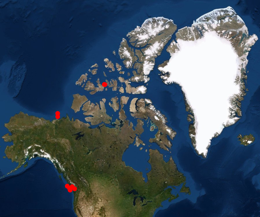
Spatial extent
Provided by
