 Arctic SDI catalogue
DK model 2019 – Calibration statistics
Simple
- Date ( Publication )
- 2025-08-25
- Identifier
- dk.geus / dk_dkmodel2019_kalibreringsstatistik
- Presentation form
- Digital map
- Purpose
- The purpose of the dataset is to document calibration and evaluation results for DK model 2019 and thereby provide users with a basis for assessing the applicability, uncertainties and limitations of the model. The dataset supports assessment of model performance for both groundwater heads and stream discharge and may be used as documentation in regional hydrological analysis, screening and planning of more detailed modelling studies.
- Status
- Completed
- Maintenance and update frequency
- As needed
- Keywords ( Theme )
-
- Dataset
- Hydrological model
- Calibration
- Model performance
- Groundwater head
- Stream discharge
- DK model 2019
- Forskningsemner Forskningsemner ( Theme )
- Geografisk Geografisk ( Place )
- Access constraints
- Other restrictions
- Use constraints
- Other restrictions
- Other constraints
- CC BY 4.0
- Other constraints
- The data are made available under the Creative Commons Attribution 4.0 International licence (CC BY 4.0). GEUS must be cited as the source when using the data. The dataset is derived from model calibration and model performance assessment for DK model 2019 and must be used with due consideration of the regional purpose, uncertainties and limitations of the model. Use is at the user’s own responsibility.
- Spatial representation type
- Vector
- Spatial representation type
- Grid
- Denominator
- 1000000
- Metadata language
- Da
- Character set
- UTF8
- Topic category
-
- Geoscientific information
- Begin date
- 2000-01-01
- End date
- 2010-12-31
))
- Supplemental Information
- The dataset describes calibration statistics and model performance for DK model 2019. The results should be interpreted in the context of the model’s purpose as a national and regional screening tool. The model was not developed to represent all local-scale variations in detail, and use for local-scale issues should be accompanied by a separate assessment of model performance in the relevant area.
- Reference system identifier
- ETRS 89 / UTM 32N (EPSG:25832)
- Distribution format
-
-
WMS
(
)
-
MPKX
(
)
-
WMS
(
)
- OnLine resource
-
DK-model2019 - Calibration statistics (GIS)
(
WWW:DOWNLOAD-1.0-http--download
)
Download dataset from GEUS' Dataverse
- OnLine resource
-
Interactive webmap
(
WWW:LINK-1.0-http--link
)
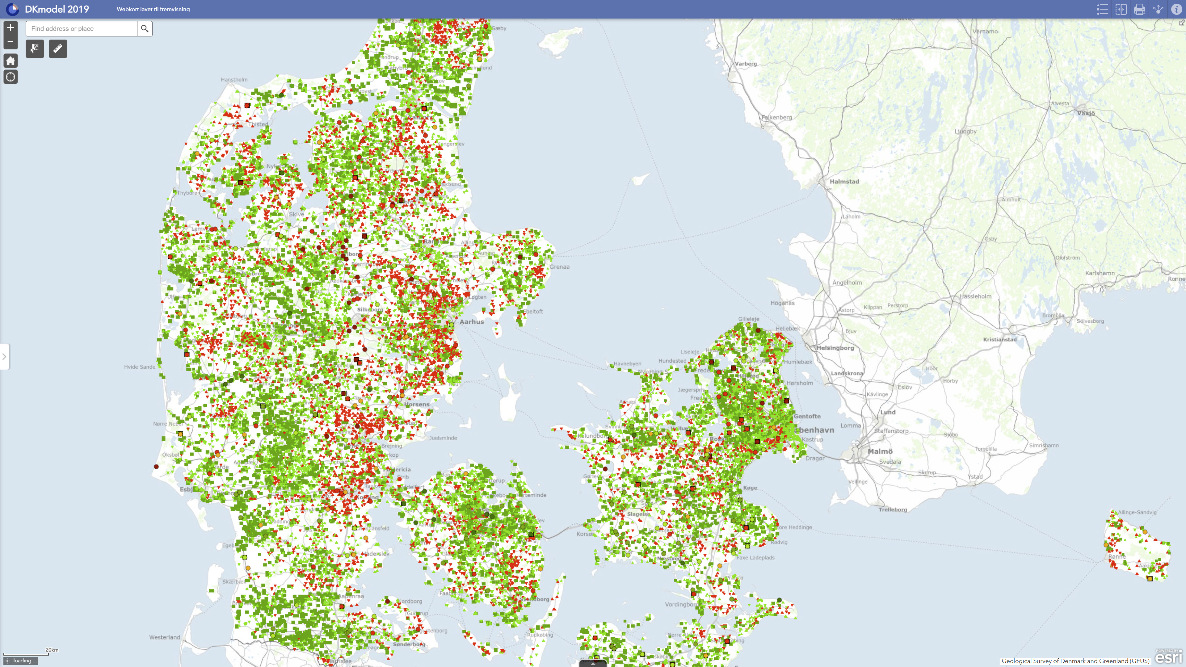
Interactive map displaying the dataset.
- OnLine resource
-
Calibration Statistics
(
ESRI:REST
)
ArcGIS REST Service
- OnLine resource
-
Middelfejl_i_kvartære_lag26301
(
OGC:WMS-1.3.0-http-get-capabilities
)
ArcGIS WMS Service
- OnLine resource
-
National Water Resource Model. Calculation of utilization rates, lowering and stream impact with DK model 2019
(
DOI
)
Henriksen, H. J., Voutchkova, D., Troldborg, L., Ondracek, M., Schullehner, J., & Hansen, B. (2019). National Water Resources Model. Calculation of utilization rates, lowering and watercourse impact with DK model 2019. GEUS. Geological Survey of Denmark and Greenland Report Vol. 2019 No. 32 https://doi.org/10.22008/gpub/32632
- OnLine resource
-
Data exhibition
(
WWW:LINK-1.0-http--link
)
GEUS displays data and results calculated with DK-model 2019 via GIS web portals. The data can be downloaded individually or together in GIS packages from Dataverse.
- Hierarchy level
- Dataset
- Statement
- The calibration statistics are derived from DK model 2019, GEUS’ national hydrological model for Denmark. The model was calibrated inversely using the PEST software and dynamic model runs. Observed groundwater heads for the period 2000–2010 and daily discharge data from selected stream gauging stations for the same period were used as calibration targets. RMSE and mean error were used as key evaluation measures for groundwater heads. For stream discharge, the evaluation included total water balance error, WBE, Kling-Gupta Efficiency, KGE, for the full calibration period, and summer water balance error, summer WBE. The model was subsequently validated using a split-sampling test with independent data from the periods 2011–2015 and 1995–1999. The dataset represents the published calibration statistics from DK model 2019 and should be used with due consideration that the model was set up and calibrated for overall regional conditions rather than local-scale variation.
- File identifier
- 8d56cbc3-7e2d-4786-81ad-3c08deaa763b XML
- Metadata language
- Danskda
- Character set
- UTF8
- Hierarchy level
- Dataset
- Date stamp
- 2026-05-08T09:25:41.241488Z
- Metadata standard name
- ISO 19115:2003/19139
- Metadata standard version
- 1.0
Overviews
Spatial extent
Provided by
