 Arctic SDI catalogue
Biological and chemical marine discrete data - Gulf of St. Lawrence and the St. Lawrence Estuary
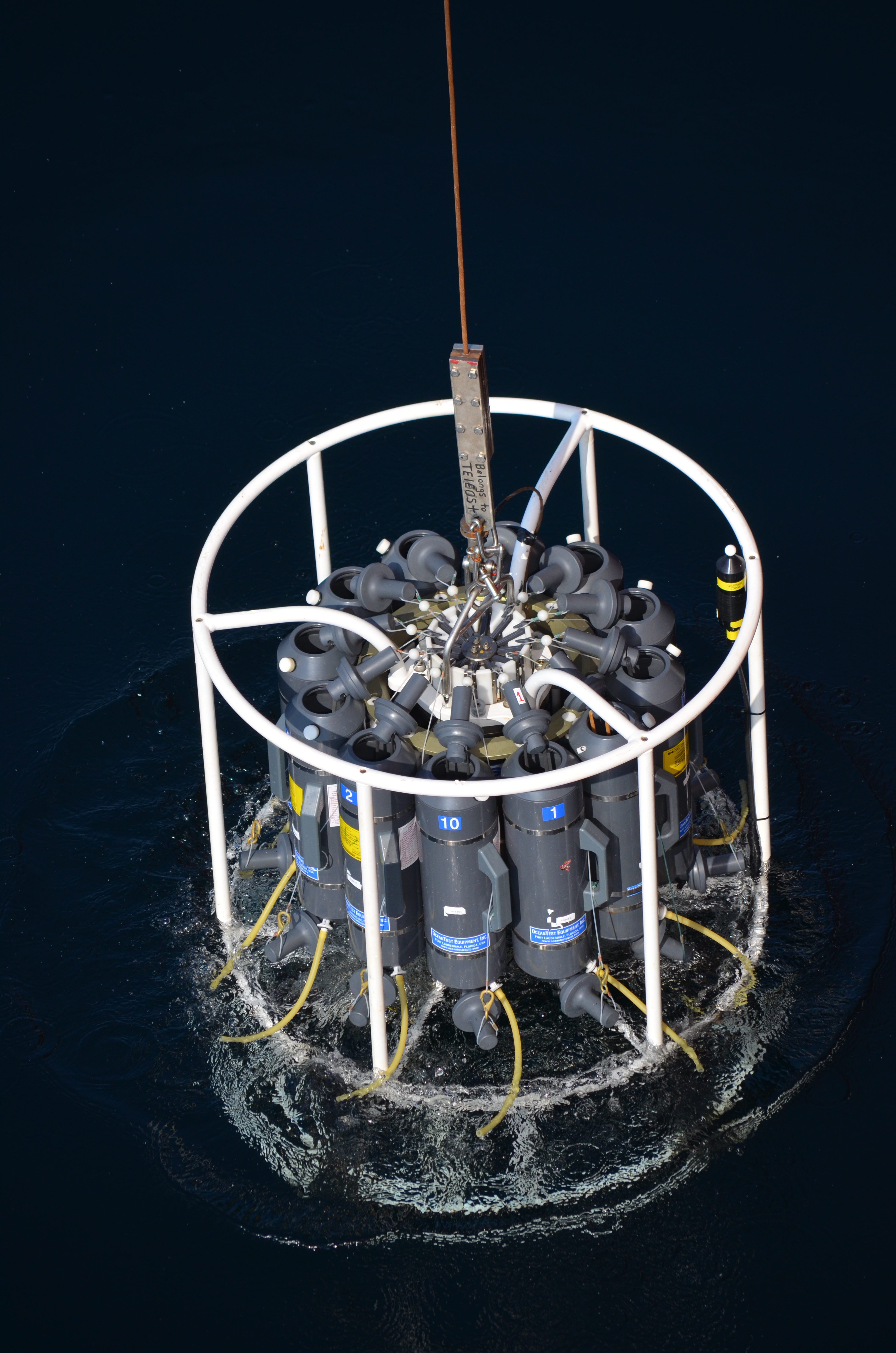
The Department of Fisheries and Oceans (DFO) holds discrete oceanographic, biological, and chemical data collected throughout the St. Lawrence Estuary, the Gulf of St. Lawrence, and the Saguenay Fjord, as well as data gathered outside of these zones during non-routine surveys (collected by the Quebec region). These data come from samples taken at different depths in the water column (surface, bottom, and intermediate depths), mainly during annual scientific missions such as:
- weekly monitoring at fixed stations (Rimouski, Shediac Valley)
- annual multispecies surveys (Northern and Southern Gulf)
- spring and fall missions of the Atlantic Zone Monitoring Program
This dataset presents the variables most frequently sampled for the period 1990 to two years prior to the present, namely, salinity, dissolved oxygen concentration, chlorophyll-a concentration, nutrient concentrations (nitrite, nitrate, silicate, phosphate), pH and alkalinity. These measurements are often accompanied by data from CTD profiles (Conductivity, Temperature, Depth/Pressure) and auxiliary sensors (fluorescence, turbidity, pH).
Annual synthesis of the chemical and biological oceanographic conditions of the study area have been published since 2011, and reports on zonal conditions of the four Atlantic regions of DFO are also available for certain years: https://www.dfo-mpo.gc.ca/science/data-donnees/azmp-pmza/index-eng.html
This record is updated annually as new data become available. To obtain access to earlier data, less frequently sampled variables, or specifications regarding laboratory analyses (analytical methods, preservation, and storage), please contact the data management team at: gddaiss-dmsaisb@dfo-mpo.gc.ca.
Notes: This publication contains data extracted from the national BioChem database (Biological and Chemical Marine Data: DFO.BioChemDatabase-BasededonneesBioChem.MPO@DFO-MPO.GC.CA ). When replicate samples were present, the values were averaged, and values were grouped by variable regardless of the analysis method, preservation method, or storage method.
The grouping of variables collected at the same station is based on spatial and temporal metadata: LATITUDE, LONGITUDE, DATE, and TIME.
Simple
- Date ( RI_367 )
- 2026-03
- Date ( RI_366 )
- 2026-01
- Status
- onGoing; enContinue RI_596
- Maintenance and update frequency
- annually; annuel RI_539
- Keywords
-
- pH
- Nutrients
- Chlorophyll-a
- Dissolved oxygen
- Salinity
- Atlantic Zone Monitoring Program (AZMP)
- CTD
- Alkalinity
- Thésaurus des sujets de base du gouvernement du Canada Government of Canada Core Subject Thesaurus ( RI_528 )
-
- Water
- Oceans
- Environmental sciences
- Salt water
- Oceanography
- Use limitation
- Open Government Licence - Canada (http://open.canada.ca/en/open-government-licence-canada)
- Access constraints
- license; licence RI_606
- Use constraints
- license; licence RI_606
- Classification
- unclassified; nonClassifié RI_484
- Spatial representation type
- vector; vecteur RI_635
- Metadata language
- fra; CAN
- Metadata language
- eng; CAN
- Topic category
-
- Environment
- Oceans
- Begin date
- 1990
- Description
- Gulf of Saint Lawrence and the Saint Lawrence Estuary
))
- Reference system identifier
- https://epsg.io / EPSG:4326 /
- Distribution format
-
-
CSV
(
1
)
-
CSV
(
1
)
- OnLine resource
-
Data dictionary for marine discrete data
(
HTTPS
)
Supporting Document;CSV;eng,fra
- OnLine resource
-
Marine discrete data
(
HTTPS
)
Dataset;CSV;eng,fra
- OnLine resource
-
References
(
HTTPS
)
Supporting Document;PDF;eng,fra
- OnLine resource
-
Map service for marine discrete data
(
ESRI REST: Map Service
)
Web Service;ESRI REST;eng
- OnLine resource
-
Map service for marine discrete data
(
ESRI REST: Map Service
)
Web Service;ESRI REST;fra
- File identifier
- 8d60214b-70a2-44d4-80ae-f4a37326c178 XML
- Metadata language
- fra; CAN
- Character set
- utf8; utf8 RI_458
- Hierarchy level
- dataset; jeuDonnées RI_622
- Date stamp
- 2026-04-21T19:38:30.201941Z
- Metadata standard name
- North American Profile of ISO 19115:2003 - Geographic information - Metadata
- Metadata standard version
- CAN/CGSB-171.100-2009
Overviews
Spatial extent
Provided by
