 Arctic SDI catalogue
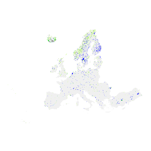
Water and Wetness 2015 (raster 100 m), Europe, 3-yearly, Nov. 2020
The Copernicus High Resolution Water and Wetness (WAW) 2015 layer is a thematic product showing the occurrence of water and wet surfaces over the period from 2009 to 2015 for the EEA38 area and the United Kingdom . This metadata corresponds to the aggregation of the 20m classified product into a 100m raster. The production of the High Resolution Water and Wetness layers was coordinated by the European Environment Agency (EEA) in the frame of the EU Copernicus programme.
Two WAW products are available:
- The main Water and Wetness (WAW) product, with defined classes of (1) permanent water, (2) temporary water, (3) permanent wetness and (4) temporary wetness.
- The additional expert product: Water and Wetness Probability Index (WWPI).
The products show the occurrence of water and indicate the degree of wetness in a physical sense, assessed independently of the actual vegetation cover and are thus not limited to a specific land cover class and their relative frequencies.
Data is provided as a mosaic of the full area, and as tiles with a side length of 1000 km x 1000 km. In 2020, due to methodological improvements, the temporary wet class has been reprocessed during the update for the 2018 reference year.
Simple
- Date ( Creation )
- 2018-03-22
- Date ( Publication )
- 2018-03-22
- Date ( Revision )
- 2020-11-19
- Edition
- 03.00
- Identifier
- copernicus_r_3035_100_m_waw-2015_p_2009-2015_v03_r00
- Identifier
- DAT-202-en
- Unique resource identifier
- 10.2909/a0aa1a1e-abe7-4628-ba00-a3ac5fcad575
- Maintenance and update frequency
- Continual
- GEMET - INSPIRE themes, version 1.0 ( Theme )
-
- Land cover
- Keywords
-
- Continents, countries, sea regions of the world. ( Place )
-
- United Kingdom
- EEA38 (from 2020)
- Keywords
-
- GEMET ( Theme )
-
- land use
- land cover
- water
- forest management
- landscape alteration
- Spatial scope ( Theme )
- EEA topics ( Theme )
-
- Land use
- EEA Management Plan ( Theme )
-
- 2018 3.6.1
- Access constraints
- Other restrictions
- Other constraints
- no limitations to public access
- Use constraints
- Other restrictions
- Other constraints
-
The Copernicus component is governed by Regulation (EU) No 2021/696 of the European Parliament and of the Council of 28 April 2021 establishing the Union Space Programme and the European Union Agency for the Space Programme and repealing Regulations (EU) No 912/2010, (EU) No 1285/2013 and (EU) No 377/2014 and Decision No 541/2014/EU. Within the Copernicus component, a portfolio of land monitoring activities has been delegated by the European Union to the European Environment Agency (EEA) and the DG Joint Research Centre of the European Commission.
The Copernicus land monitoring products and services are made available on a principle of full, open and free access, as established by the Commission Delegated Regulation (EU) No 1159/2013 of 12 July 2013.
Free, full and open access to the products and services of the Copernicus Land Monitoring Service is made on the conditions that:
1. When distributing or communicating Copernicus Land Monitoring Service products and services (data, software scripts, web services, user and methodological documentation and similar) to the public, users shall inform the public of the source of these products and services.
2. Where the Copernicus Land Monitoring Service products and services have been adapted or modified by the user, the user shall clearly state this.
3. Users shall make sure not to convey the impression to the public that the user's activities are officially endorsed by the European Union.
- Aggregate Datasetindentifier
- 8108e203-59db-4672-b9e0-c1863fd6523b
- Association Type
- revisionOf
- Aggregate Datasetindentifier
- f6bbd22c-52e5-4e47-9b09-943415fcb52e
- Association Type
- Cross reference
- Spatial representation type
- grid Grid
- Distance
- 100 m
- Metadata language
- en
- Character set
- utf8 UTF8
- Topic category
-
- Environment
- Imagery base maps earth cover
- Begin date
- 2009-01-01
- End date
- 2015-12-31
))
))
- Unique resource identifier
- EPSG:3035
- Distribution format
-
-
GeoTIFF
(
1.0
)
-
GeoTIFF
(
1.0
)
- OnLine resource
-
CLMS Website
(
WWW:DOWNLOAD
)
Download (requires authentication)
- OnLine resource
- Product Information & Technical Documentation ( WWW:LINK )
- OnLine resource
- https://doi.org/10.2909/a0aa1a1e-abe7-4628-ba00-a3ac5fcad575 ( DOI )
- OnLine resource
- https://image.discomap.eea.europa.eu/arcgis/rest/services/GioLandPublic/HRL_WaterWetness_2015/MapServer ( ESRI:REST )
- OnLine resource
-
1
(
OGC:WMS
)
HRL Water and Wetness 2015 - 100m
- Hierarchy level
- Dataset
Conformance result
- Date ( Publication )
- 2010-12-08
- Explanation
- See the referenced specification
- Statement
-
The 20m classified Water and Wetness layer is aggregated to 100m for the complete European LAEA layer according to the following procedure: for the aggregation of the 20m classified product to a 100m raster in a concise way, all underlying 20m cells are considered. A majority rule is applied to ensure that the most appropriate class value is given to the 100m cell, considering all underlying 25 pixels that are covered by the 100m raster cell. The 100m cell receives the code of the majority of 20m pixels, under consideration of the fraction of valid and un-valid pixels and equality. In 2020, due to methodological improvements, the temporary wet class has been reprocessed during the update for the 2018 reference year.
Quality assurance follows the ISO9000 standards for Quality Management and comprises of dedicated procedures of on-going quality checks (QA breakpoints) during implementation of the production chain, in order to keep persistent control over the various stages of production, assure fitness-for-purpose of the end-products and that all quality requirements are fulfilled. Priority will be given to the target thematic accuracies to be achieved by each product, as well as to the issues of product consistency (spatial, thematic, temporal) and homogeneity.
Quality Assessment: The quality assessment has been performed according to INSPIRE Data Specifications. The data quality elements considered are:
(i) Completeness,
(ii) Logical Consistency,
(iii) Thematic Accuracy,
(iv) Temporal quality and (v) Usability.
Each of them (excl. the Thematic Accuracy hereafter) forms a section in the QA/QC Procedures.
- File identifier
- a0aa1a1e-abe7-4628-ba00-a3ac5fcad575 XML
- Metadata language
- en
- Character set
- UTF8
- Hierarchy level
- Dataset
- Date stamp
- 2025-10-09T11:28:45.966545Z
- Metadata standard name
- ISO 19115/19139
- Metadata standard version
- 1.0
Overviews
Spatial extent
Provided by
