 Arctic SDI catalogue
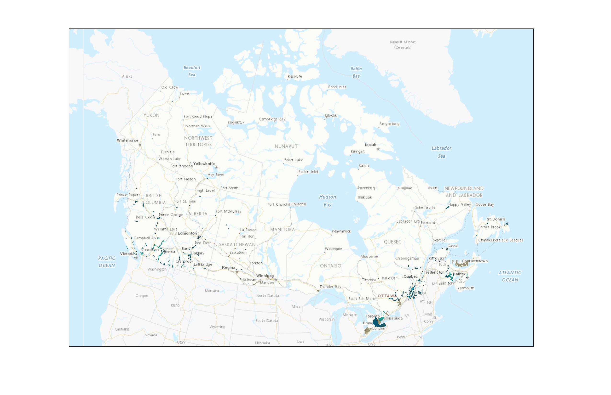
Canada Flood Map Inventory (CFM)
The Canada Flood Map inventory shows areas in Canada where a copy of a flood hazard map has been collected by Natural Resources Canada (NRCan). The inventory does not display flood zones or extents, but provides information on how to access these flood hazard maps. Depending on the license and availability status to the public, there may be links for download, along with reference information to the original source and/or data owner.
NRCan collaborates with provincial and territorial governments to gather flood hazard maps from provinces, territories, municipalities, and other agencies responsible for flood mapping. The inventory is regularly updated to improve its completeness and accuracy.
Disclaimer: The Canada Flood Map (CFM) does not include every flood hazard map in Canada and may be incomplete or contain inaccuracies. It should not be relied upon as the official source of flood mapping information. Furthermore, if a map appears to be missing, this does not necessarily mean that the area has never been mapped. For the official version of a map, updated information, or confirmation of applicable regulations, please contact the local authority responsible for flood mapping.
Note: Data and maps in the Inventory can be made available upon request to federal and contributing partners.
Simple
- Date ( RI_367 )
- 2026-02-26
- Date ( RI_366 )
- 2022-11-17
- Status
- onGoing; enContinue RI_596
- Maintenance and update frequency
- irregular; irrégulier RI_541
- Keywords ( RI_528 )
-
- FHIMP
- NFHDL
- CNDAI
- PICAI
- Flood
- CFM
- CZIC
- CFMI
- Government of Canada Core Subject Thesaurus Thésaurus des sujets de base du gouvernement du Canada ( RI_528 )
-
- Water
- Floods
- Environment
- Use limitation
- Open Government Licence - Canada (http://open.canada.ca/en/open-government-licence-canada)
- Access constraints
- license; licence RI_606
- Use constraints
- license; licence RI_606
- Spatial representation type
- vector; vecteur RI_635
- Metadata language
- eng; CAN
- Metadata language
- fra; CAN
- Character set
- utf8; utf8 RI_458
- Topic category
-
- Inland waters
- Environment
- Geoscientific information
- Begin date
- 1975
- End date
- 2025
))
- Reference system identifier
- https://www.epsg-registry.org / EPSG:3978 /
- Distribution format
-
-
FGDB/GDB
(
10.3.1
)
-
ESRI REST
(
10.3.1
)
-
WMS
(
1.3.0
)
-
GPKG
(
1.3.1
)
-
FGDB/GDB
(
10.3.1
)
- OnLine resource
-
Canada Flood Map Inventory
(
ESRI REST: Map Server
)
Web Service;ESRI REST;fra
- OnLine resource
-
Canada Flood Map Inventory
(
ESRI REST: Map Server
)
Web Service;ESRI REST;eng
- OnLine resource
-
Canada Flood Map Inventory
(
FTP
)
Dataset;FGDB/GDB;eng
- OnLine resource
-
Canada Flood Map Inventory
(
FTP
)
Dataset;FGDB/GDB;fra
- OnLine resource
-
Canada Flood Map Inventory
(
FTP
)
Dataset;GPKG;eng
- OnLine resource
-
Canada Flood Map Inventory
(
FTP
)
Dataset;GPKG;fra
- OnLine resource
-
Canada Flood Map Inventory
(
HTTPS
)
Web Service;WMS;eng
- OnLine resource
-
Canada Flood Map Inventory
(
HTTPS
)
Web Service;WMS;fra
- OnLine resource
-
CFM Product Specifications
(
FTP
)
Supporting Document;PDF;eng
- OnLine resource
-
CFM Product Specifications
(
FTP
)
Supporting Document;PDF;fra
- File identifier
- a13a2575-5bda-4bfd-a9b1-5bd2dd583f09 XML
- Metadata language
- eng; CAN
- Character set
- utf8; utf8 RI_458
- Hierarchy level
- dataset; jeuDonnées RI_622
- Date stamp
- 2026-02-26T11:08:11
- Metadata standard name
- North American Profile of ISO 19115:2003 - Geographic information - Metadata
- Metadata standard version
- CAN/CGSB-171.100-2009
Overviews
Spatial extent
Provided by
