 Arctic SDI catalogue
Geochemical analyses of soil samples from Greenland
Simple
- Date ( Publication )
- 2022-01-01
- Identifier
- dk.geus / grl_soil_geochemistry_1974_1998
- Presentation form
- Digital map
- Purpose
- The purpose of the dataset is to document the regional geochemical composition of near-surface material in Greenland based on systematically collected soil samples. The dataset supports regional geological mapping, mineral resource assessment, geochemical modelling and research activities, and forms part of the analytical basis for the production of geochemical atlases and thematic maps.
- Status
- Completed
- Maintenance and update frequency
- As needed
- Keywords ( Theme )
-
- Dataset
- Geochemistry
- Soil samples
- Trace elements
- Greenland
- Database
- Forskningsemner Forskningsemner ( Theme )
- Geografisk Geografisk ( Place )
- Access constraints
- Other restrictions
- Use constraints
- Other restrictions
- Other constraints
- CC BY 4.0
- Spatial representation type
- Vector
- Denominator
- 250000
- Metadata language
- en
- Character set
- UTF8
- Topic category
-
- Geoscientific information
- Begin date
- 1974-01-01
- End date
- 1998-12-31
))
- Supplemental Information
- The dataset includes analyses performed at different laboratories using various analytical techniques over several decades. To ensure comparability between analytical batches, calibration and quality control against internal and international standards were applied. Values below the detection limit are recorded as zero. For some older analyses, information on detection limits and analytical methods may be incomplete. The dataset represents the original laboratory results as received and subsequently calibrated for atlas production.
- Reference system identifier
- WGS 84 / UTM 24N (EPSG:32624)
- Distribution format
-
-
WMS
(
)
-
WFS
(
)
-
GeoJSON
(
)
-
XLSX
(
)
-
SHP
(
)
-
WMS
(
)
- OnLine resource
-
Download
(
WWW:DOWNLOAD-1.0-http--download
)
Download dataset from GEUS' Dataverse
- OnLine resource
-
Interactive webmap
(
WWW:LINK-1.0-http--link
)
Interactive map displaying the dataset.
- OnLine resource
-
Calibration of stream sediment data from West and South Greenland A supplement to GEUS Report 1999/41
(
DOI
)
Steenfelt, A. (2001). Calibration of stream sediment data from West and South Greenland A supplement to GEUS Report 1999/41. GEUS. Danmarks og Grønlands Geologiske Undersøgelse Rapport Vol. 2001 No. 47 https://doi.org/10.22008/gpub/17840
- OnLine resource
-
Compilation of data sets for a geochemical atlas of West and South Greenland based on stream sediment surveys 1977 to 1997
(
WWW:LINK-1.0-http--link
)
Steenfelt, A. (1999). Compilation of data sets for a geochemical atlas of West and South Greenland based on stream sediment surveys 1977 to 1997. GEUS. Danmarks og Grønlands Geologiske Undersøgelse Rapport Vol. 1999 No. 41 https://doi.org/10.22008/gpub/16138
- OnLine resource
-
Download
Download dataset as shapefile
- OnLine resource
-
ms:geochemistry_soil
(
OGC:WFS-1.0.0-http-get-capabilities
)
WFS for Geochemical data packages - Soil sediments
- OnLine resource
-
geochemistry_soil
(
OGC:WMS-1.3.0-http-get-capabilities
)
WMS for Geochemical data packages - Soil sediments
- OnLine resource
-
Download
Download dataswt as GeoJSON
- Hierarchy level
- Dataset
- Statement
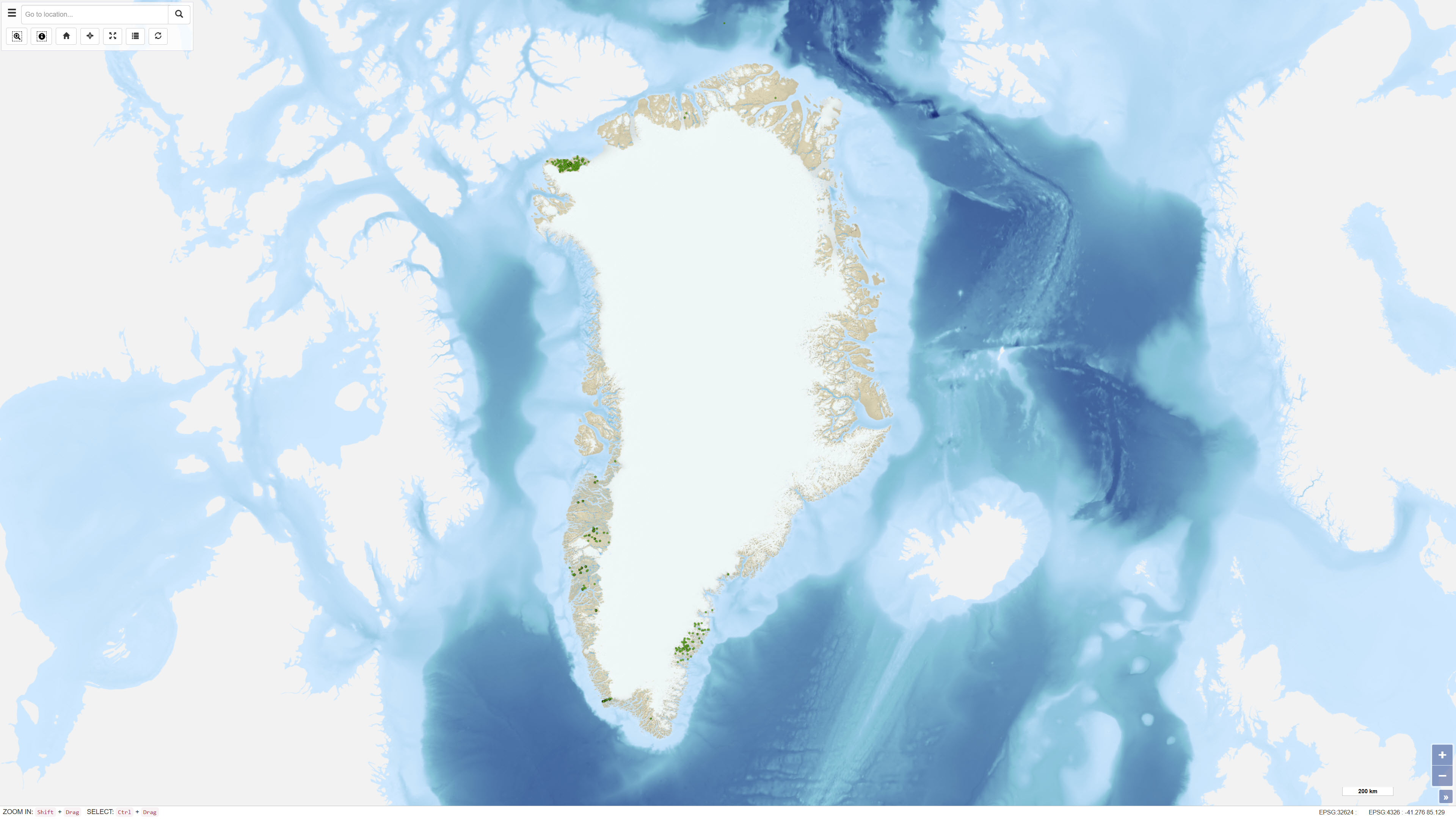
- Soil samples were collected from 1974 onwards as part of regional geochemical mapping and mineral exploration programmes in Greenland. Sampling density was typically one sample per 20–30 km² of ice-free terrain. Samples were dried, sieved and in some cases processed to obtain specific grain-size fractions prior to chemical analysis. Analytical work was carried out at different laboratories using evolving analytical techniques. To ensure comparability between analytical batches, quality control and calibration against internal and international standards were performed, including regression adjustments to reference values as documented in GEUS Report 1999/41 and its supplement Report 2001/47 . Values below the lower limit of detection are recorded as zero in the dataset. For some older analyses, information on detection limits may be incomplete. Coordinate determinations made prior to 2000 were subsequently revised following expert review.
- File identifier
- a5940447-d373-4814-9be5-d8cc14dad63c XML
- Metadata language
- Danskda
- Character set
- UTF8
- Hierarchy level
- Dataset
- Date stamp
- 2026-03-01T11:56:55.488685Z
- Metadata standard name
- ISO 19115:2003/19139
- Metadata standard version
- 1.0
Overviews
Spatial extent
Provided by
