 Arctic SDI catalogue
Geographical Index of GEUS Publications and DODEX Reports for Greenland
Simple
- Date ( Publication )
- 2022-01-01
- Identifier
- dk.geus / grl_geus_publications_index
- Presentation form
- Digital map
- Purpose
- The purpose of the dataset is to support geographic search and visualisation of GEUS publications and DODEX reports by linking publications to spatial polygons. The dataset enables users to identify and access relevant reports and publications based on geographic area of interest, thereby improving accessibility and dissemination of geoscientific documentation for Greenland.
- Status
- On going
- Maintenance and update frequency
- As needed
- Keywords ( Theme )
-
- Dataset
- DODEX
- Publications
- Reports
- Geoscience
- Mineral Resources
- Greenland
- Database
- Forskningsemner Forskningsemner ( Theme )
- Geografisk Geografisk ( Place )
- Access constraints
- Other restrictions
- Use constraints
- Other restrictions
- Other constraints
- CC BY 4.0
- Other constraints
- The dataset is based on published reports and registered metadata. The polygons represent the geographic areas addressed in the individual publications and do not constitute precise cartographic boundaries. The dataset should be used with proper citation. Interpretations and descriptions reflect the content of the associated publications.
- Spatial representation type
- Vector
- Denominator
- 1000000
- Metadata language
- en
- Character set
- UTF8
- Topic category
-
- Geoscientific information
- Begin date
- 1948-01-01
))
- Supplemental Information
- The dataset does not contain the publications themselves but serves as a geographic index with associated metadata and links. Only non-confidential reports are publicly accessible through the DODEX web application. The dataset is continuously updated as new reports are registered and released.
- Reference system identifier
- WGS 84 / UTM 24N (EPSG:32624)
- Distribution format
-
-
WMS
(
)
-
WFS
(
)
-
SHP
(
)
-
GeoJSON
(
)
-
WMS
(
)
- OnLine resource
-
Interactive webmap
(
WWW:LINK-1.0-http--link
)
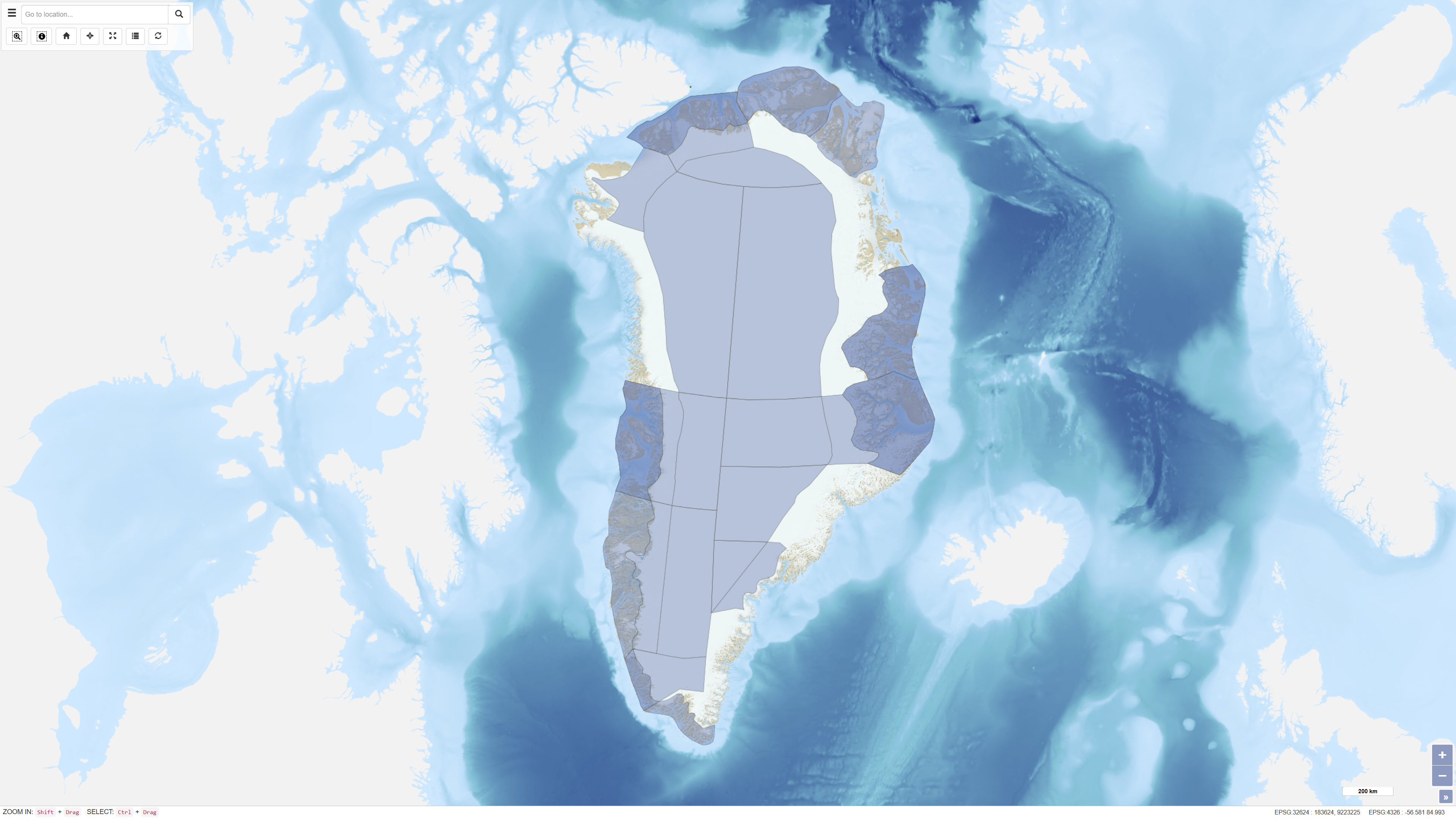
Interactive map displaying the dataset.
- OnLine resource
-
DODEX – Geoscience Documents and Data for Exploration in Greenland
(
DOI
)
Riisager, P. ., Pedersen, M., Jørgensen, M. S., Schjøth, F., & Thorning, L. (2011). DODEX – Geoscience Documents and Data for Exploration in Greenland. GEUS Bulletin, 23, 77-80. https://doi.org/10.34194/geusb.v23.4879
- OnLine resource
-
dodex_survey_publications
(
OGC:WMS-1.3.0-http-get-capabilities
)
WMS for GEUS publication series
- OnLine resource
-
ms:dodex_survey_publications
(
OGC:WFS-1.0.0-http-get-capabilities
)
WFS for GEUS publication series
- OnLine resource
-
Download
Download dataset as shapefile
- OnLine resource
-
Download
Download dataset as GeoJSON
- Hierarchy level
- Dataset
- Statement
- The dataset was established as part of the DODEX project (Geoscience Documents and Data for Exploration in Greenland), carried out by GEUS in cooperation with the Bureau of Minerals and Petroleum (BMP) under the Government of Greenland . Reports submitted under the Mineral Resources Act are registered and incorporated into a relational database where metadata and geographic references are created. For older reports, geographic polygons were initially based on licence areas and later refined to better represent the actual area covered by the report. New reports are geo-referenced at the time of registration. The polygons represent the general area addressed in each publication and do not constitute precise cartographic boundaries.
- File identifier
- a9290f84-9041-4e90-bda0-0716dba00e60 XML
- Metadata language
- Danskda
- Character set
- UTF8
- Hierarchy level
- Dataset
- Date stamp
- 2026-03-02T12:42:18.972788Z
- Metadata standard name
- ISO 19115:2003/19139
- Metadata standard version
- 1.0
Overviews
Spatial extent
Provided by
