Bathymetric Gridded Data
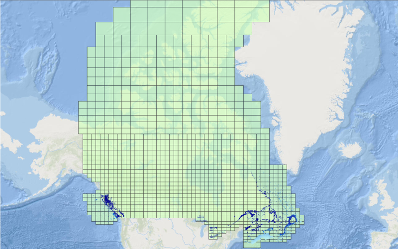
CHS offers 500-metre bathymetric gridded data for users interested in the topography of the seafloor. This data provides seafloor depth in metres and is accessible for download as predefined areas.
Simple
- Date ( RI_367 )
- 2014-03-11
- Date ( RI_366 )
- 2016-06-02
RI_408
Government of Canada; Fisheries and Oceans Canada; Canadian Hydrographic Service
-
(
)
200 Kent St.
,
Ottawa
,
Ontario
,
K1A 0E6
,
Canada
- Status
- completed; complété RI_593
- Maintenance and update frequency
- notPlanned; nonPlanifié RI_542
- Keywords ( RI_528 )
-
- Bathymetry
- Depth
- Government of Canada Core Subject Thesaurus Thésaurus des sujets de base du gouvernement du Canada ( Theme )
-
- Oceanography
- Use limitation
- Open Government Licence - Canada (http://open.canada.ca/en/open-government-licence-canada)
- Access constraints
- license; licence RI_606
- Use constraints
- license; licence RI_606
- Spatial representation type
- grid; grille RI_636
- Metadata language
- eng; CAN; fra; CAN
- Topic category
-
- Imagery base maps earth cover
- Begin date
- 2014-03-01
N
S
E
W
))
- Reference system identifier
- EPSG / 3857 / 8.2.6
- Distribution format
-
-
ESRI REST
(
10.2
)
-
ESRI REST
(
10.2
)
RI_412
Government of Canada; Fisheries and Oceans Canada; Canadian Hydrographic Service
-
(
)
200 Kent St.
,
Ottawa
,
Ontario
,
K1A 0E6
,
Canada
- File identifier
- ad865d71-b644-4750-955d-37e542f3b92f XML
- Metadata language
- eng; CAN
- Character set
- utf8; utf8 RI_458
- Hierarchy level
- series; série RI_623
- Date stamp
- 2020-10-19T18:43:12
- Metadata standard name
- North American Profile of ISO 19115:2003 - Geographic information - Metadata
- Metadata standard version
- CAN/CGSB-171.100-2009
RI_408
Government of Canada; Fisheries and Oceans Canada; Canadian Hydrographic Service
-
(
)
200 Kent St.
,
Ottawa
,
Ontario
,
K1A 0E6
,
Canada
Overviews

thumbnail

large_thumbnail

thumbnail_fre

large_thumbnail_fre
Spatial extent
N
S
E
W
))
Provided by

Associated resources
Not available
 Arctic SDI catalogue