 Arctic SDI catalogue
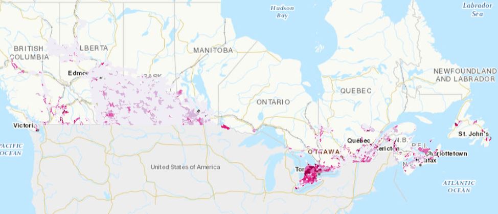
Agri-Environmental Indicator – Risk of Soil Erosion
Simple
- Date ( RI_367 )
- 2021-01-18
- Date ( RI_366 )
- 2021-01-18
- Status
- onGoing; enContinue RI_596
- Maintenance and update frequency
- asNeeded; auBesoin RI_540
- Keywords ( RI_529 )
-
- Climate indicators
- AEI
- Government of Canada Core Subject Thesaurus Thésaurus des sujets de base du gouvernement du Canada ( RI_528 )
-
- Environment
- Earth sciences
- Use limitation
- Open Government Licence - Canada (http://open.canada.ca/en/open-government-licence-canada)
- Access constraints
- license; licence RI_606
- Use constraints
- license; licence RI_606
- Spatial representation type
- textTable; texteTable RI_637
- Metadata language
- eng; CAN
- Topic category
-
- Climatology, meteorology, atmosphere
- Begin date
- 1981-01-01
- End date
- 2018-01-01
))
- Reference system identifier
- http://www.epsg.org/ / EPSG:3857 / 8.3.4
- OnLine resource
-
Data Product Specification (French)
(
HTTPS
)
Supporting Document;PDF;fra
- OnLine resource
-
Pre-packaged CSV files
(
HTTPS
)
Dataset;CSV;eng,fra
- OnLine resource
-
Pre-packaged FGDB files
(
HTTPS
)
Dataset;FGDB/GDB;eng,fra
- OnLine resource
-
Pre-packaged GEOJSON files
(
HTTPS
)
Dataset;GEOJSON;eng,fra
- OnLine resource
-
Risk of Soil Erosion
(
HTTPS
)
Web Service;ESRI REST;eng
- OnLine resource
-
Risk of Soil Erosion
(
HTTPS
)
Web Service;ESRI REST;fra
- OnLine resource
-
Risk of Water Erosion on Cultivated Land
(
HTTPS
)
Web Service;ESRI REST;eng
- OnLine resource
-
Risk of Water Erosion on Cultivated Land
(
HTTPS
)
Web Service;ESRI REST;fra
- OnLine resource
-
Risk of Wind Erosion on Cultivated Land
(
HTTPS
)
Web Service;ESRI REST;eng
- OnLine resource
-
Risk of Wind Erosion on Cultivated Land
(
HTTPS
)
Web Service;ESRI REST;fra
- OnLine resource
-
Risk of Tillage Erosion on Cultivated Land
(
HTTPS
)
Web Service;ESRI REST;eng
- OnLine resource
-
Risk of Tillage Erosion on Cultivated Land
(
HTTPS
)
Web Service;ESRI REST;fra
- OnLine resource
-
Soil Erosion Risk Indicator (Technical Chapter)
(
HTTPS
)
Supporting Document;PDF;fra
- OnLine resource
-
Soil Erosion Risk Indicator (Technical Chapter)
(
HTTPS
)
Supporting Document;PDF;eng
- OnLine resource
-
Data Product Specification (English)
(
HTTPS
)
Supporting Document;PDF;eng
- File identifier
- b52b3c91-e0eb-47d1-aea5-fa5428254512 XML
- Metadata language
- eng; CAN
- Character set
- utf8; utf8 RI_458
- Parent identifier
- Agri-Environmental Indicators (AEI) e996d9be-6a3b-4059-9afc-17dc68385f05
- Hierarchy level
- dataset; jeuDonnées RI_622
- Date stamp
- 2026-04-14T11:55:06
- Metadata standard name
- North American Profile of ISO 19115:2003 - Geographic information - Metadata
- Metadata standard version
- CAN/CGSB-171.100-2009
Overviews
Spatial extent
Provided by
