 Arctic SDI catalogue
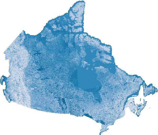
Future - Flood Susceptibility Mapping
This series of projected future flood susceptibility maps were generated using an XGBoost machine learning model trained on major floods from 2005 to 2023. The trained model was applied to future climate scenarios for 2050, 2070, and 2100, under two SSP scenarios: 245 and 585. The model uses temperature and precipitation time series to estimate potential future flood susceptibility. These maps represent model projections and should be interpreted as indicators of potential flood susceptibility, not precise forecasts.
This dataset forms part of a broader collection of flood susceptibility datasets, offering related information and analyses. The collection includes an overview page with associated publications, historic susceptibility values, temporal trends, and future projections.
- [Collection – Flood Susceptibility Mapping]( https://open.canada.ca/data/en/dataset/1074f781-85d3-4c86-86cb-fd1c339197dc )
- [Historic - Flood Susceptibility Mapping]( https://open.canada.ca/data/en/dataset/ea1384df-bf4a-4743-97bb-870dc43f8d77 )
- [Trends and Extremes – Flood Susceptibility Mapping]( https://open.canada.ca/data/en/dataset/3202e0a0-0afb-4120-b102-b0c41f0fb9eb )
Simple
- Date ( RI_367 )
- 2026-03
- Date ( RI_366 )
- 2026-03
- Purpose
- The purpose of this dataset is to explore how flood susceptibility may change under future climate scenarios, acknowledging the substantial uncertainty associated with long‑term climate projections. An XGBoost model trained on major floods from 2005–2023 was applied to projected temperature and precipitation conditions for 2050, 2070, and 2100 under SSP2‑4.5 and SSP5‑8.5 scenarios. These maps represent model‑driven estimates of potential future flood susceptibility rather than precise forecasts. They are intended to support exploratory planning, climate‑adaptation discussions, and broad‑scale assessment of possible future flood behaviour under uncertain climate futures.
- Credit
- Canada Centre for Remote Sensing (CCRS)/Canada Centre for Mapping and Earth Observation (CCMEO), Natural Resources Canada (NRCan)
- Status
- onGoing; enContinue RI_596
- Maintenance and update frequency
- asNeeded; auBesoin RI_540
- Keywords ( RI_528 )
-
- flood susceptibility
- flood likelihood
- flood screening
- climate change
- Keywords ( RI_525 )
-
- Mid-latitude
- Western Hemisphere
- Northern Hemisphere
- North America
- Canada
- Government of Canada Core Subject Thesaurus Thésaurus des sujets de base du gouvernement du Canada ( RI_528 )
-
- Climate change
- Surface water
- Floods
- Hydrology
- Earth sciences
- Water management
- Use limitation
- Open Government Licence - Canada (http://open.canada.ca/en/open-government-licence-canada)
- Access constraints
- license; licence RI_606
- Use constraints
- license; licence RI_606
- Spatial representation type
- grid; grille RI_636
- Metadata language
- eng; CAN
- Character set
- utf8; utf8 RI_458
- Topic category
-
- Climatology, meteorology, atmosphere
- Environment
- Geoscientific information
- Inland waters
- Begin date
- 2050
- End date
- 2100
))
- Reference system identifier
- https://www.epsg-registry.org / EPSG:3979 /
- Distribution format
-
-
COG
(
Unknown
)
-
COG
(
Unknown
)
- OnLine resource
-
SpatioTemporal Asset Catalog (STAC) browser
(
HTTPS
)
Application;HTML;zxx
- OnLine resource
-
SpatioTemporal Asset Catalog (STAC) Application Programming Interface (API)
(
HTTPS
)
API;JSON;zxx
- OnLine resource
-
Cartes de susceptibilité aux inondations – Conditions climatiques futures (modélisées à partir des observations historiques) – 30 m
(
OGC:WMS
)
Web Service;WMS;fra
- OnLine resource
-
Flood Susceptibility Maps - Future Climate Conditions (modelled based on historic observations) - 30 m
(
OGC:WMS
)
Web Service;WMS;eng
- File identifier
- c00f95a3-7bab-4d28-b9cc-b30f06b5afd2 XML
- Metadata language
- eng; CAN
- Character set
- utf8; utf8 RI_458
- Parent identifier
- Collection - Flood Susceptibility Mapping 1074f781-85d3-4c86-86cb-fd1c339197dc
- Hierarchy level
- dataset; jeuDonnées RI_622
- Date stamp
- 2026-04-23T10:36:23
- Metadata standard name
- North American Profile of ISO 19115:2003 - Geographic information - Metadata
- Metadata standard version
- CAN/CGSB-171.100-2009
Overviews
Spatial extent
Provided by
