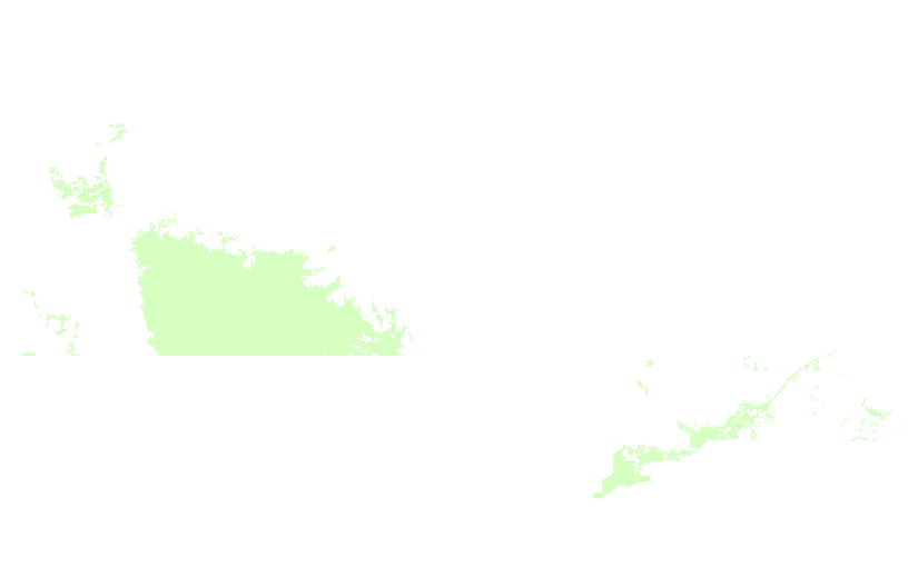
Canadian Agricultural Extents derived from Advanced Very High Resolution Radiometer (AVHRR)
This dataset is no longer maintained by Agriculture and Agri-Food Canada and should be considered as an archived product. For current estimates of the agricultural extent in Canada please refer to the Agricultural Ecumeme produced by Statistics Canada. https://www150.statcan.gc.ca/n1/en/catalogue/92-639-X
The Agriculture Extent of Canada derived from the AVHRR (Advanced Very High Resolution Radiometer) was obtained from the GeoGratis web site (www.geogratis.ca). All polygons with an area less than 50 Km sq were eliminated by GeoGratis before we received the data. This product allows the user to see the significant areas of cropland and rangeland across Canada.
The Agriculture Extent of Canada derived from the AVHRR (Advanced Very High Resolution Radiometer) was obtained from the GeoGratis web site (www.geogratis.ca). All polygons with an area less than 50 Km sq were eliminated by GeoGratis before we received the data. This product allows the user to see the significant areas of cropland and rangeland across Canada.
Simple
- Date ( RI_367 )
- 2008-01-22
- Date ( RI_366 )
- 2008-01-22
- Presentation form
- mapDigital;carteNumérique RI_391
- Status
- completed; complété RI_593
- Maintenance and update frequency
- notPlanned; nonPlanifié RI_542
- Government of Canada Core Subject Thesaurus Thésaurus des sujets de base du gouvernement du Canada ( RI_528 )
-
- Agriculture
- Use limitation
- Open Government Licence - Canada (http://open.canada.ca/en/open-government-licence-canada)
- Access constraints
- license; licence RI_606
- Use constraints
- license; licence RI_606
- Spatial representation type
- vector; vecteur RI_635
- Metadata language
- eng; CAN
- Topic category
-
- Farming
- Begin date
- 1988-01-01
- End date
- 1991-01-01
))
- Reference system identifier
- www.epsg.org / EPSG: 3857 / 8.3.4
- OnLine resource
-
Data Product Specification (English)
(
HTTPS
)
Supporting Document;PDF;eng
- OnLine resource
-
Data Product Specification (French)
(
HTTPS
)
Supporting Document;PDF;fra
- OnLine resource
-
Pre-packaged GML files (Bilingual)
(
HTTPS
)
Dataset;GEOJSON;eng,fra
- OnLine resource
-
Pre-packaged FGDB files (Bilingual)
(
HTTPS
)
Dataset;FGDB/GDB;eng,fra
- File identifier
- c72355b0-cbe9-4058-9c08-0c02a3aeca4a XML
- Metadata language
- eng; CAN
- Character set
- utf8; utf8 RI_458
- Hierarchy level
- dataset; jeuDonnées RI_622
- Date stamp
- 2022-12-19T10:52:04
- Metadata standard name
- North American Profile of ISO 19115:2003 - Geographic information - Metadata
- Metadata standard version
- CAN/CGSB-171.100-2009
Overviews


Spatial extent
))
Provided by

 Arctic SDI catalogue