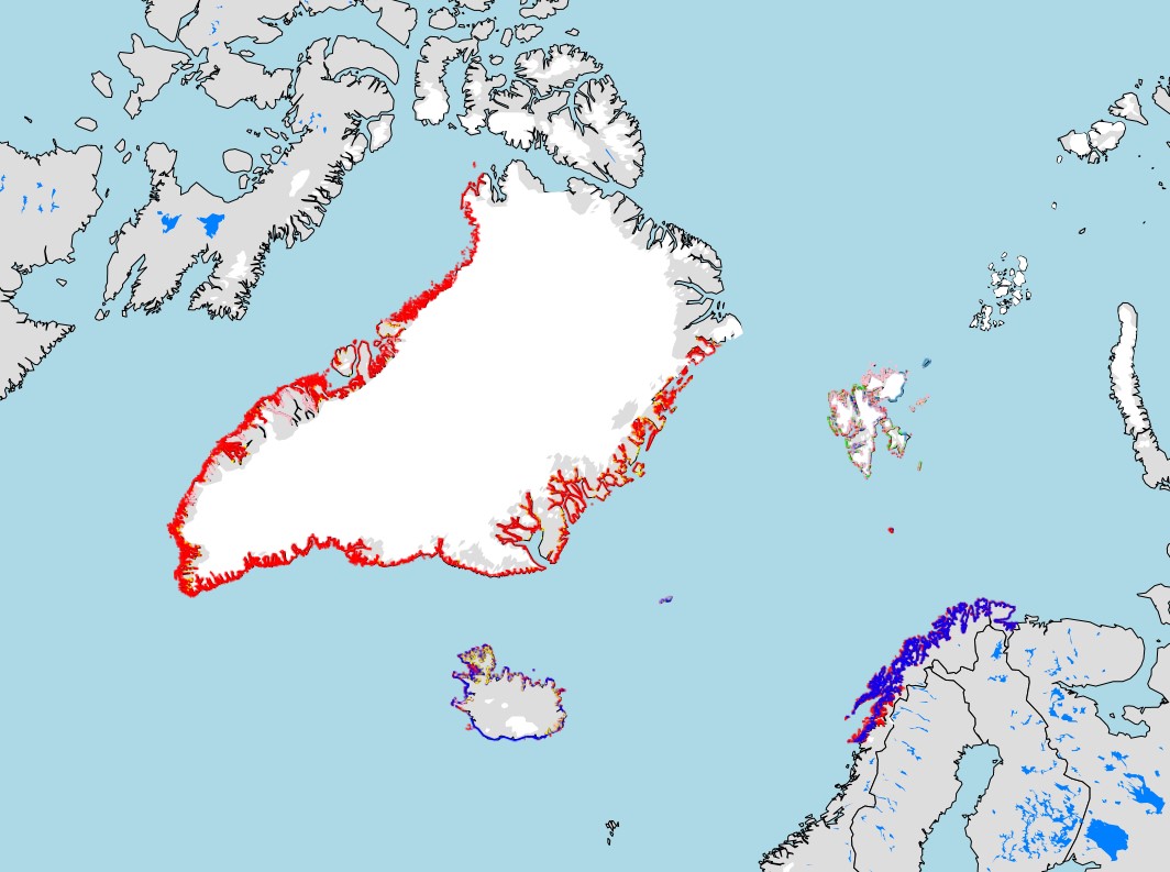
Nordic Coastscape Clasification
Data sets from Greenland, Iceland and Norway on coastal geomorphology has been used as basis for designating coastscapes and which data were used as basis for developing a map layer and analyses of the coastscape distributions for the three countries. In accordance with classifications provided in the CBMP Coastal Biodiversity Monitoring Plan (https://oaarchive.arctic-council.org/handle/11374/2356)
Simple
Identification info
- Date ( Publication )
- 2023-11-30
- Status
- Completed
- Keywords ( Theme )
-
- WMS
- Service Type
- OGC:WMS
- Service Version
- 1.3.0
N
S
E
W
))
- Coupling Type
- Tight
- OnLine resource
-
Coastscape_ISL-NO-GRL_29.11.2023_epsg4326.zip
(
WWW:DOWNLOAD-1.0-http--download
)
Shapefile
- OnLine resource
-
coastscape_isl-no-grl_29.11.2023_epsg4326
(
OGC:WMS-1.3.0-http-get-map
)
coastscape_isl-no-grl_29.11.2023_epsg4326
- OnLine resource
-
CAFF - Coastal - Mapview
(
WWW:LINK-1.0-http--link
)
CAFF Mapview
- OnLine resource
- coastscape%20_thumb.jpg ( WWW:DOWNLOAD-1.0-http--download )
- Hierarchy level
- Service
- File identifier
- cdc9649a-7556-4340-9d57-d133322c810b XML
- Metadata language
- en
- Character set
- UTF8
- Hierarchy level
- Service
- Date stamp
- 2024-04-26T12:15:47
- Metadata standard name
- ISO 19115:2003/19139
- Metadata standard version
- 1.0
Overviews

Spatial extent
N
S
E
W
))
Provided by

Associated resources
Not available
 Arctic SDI catalogue