 Arctic SDI catalogue
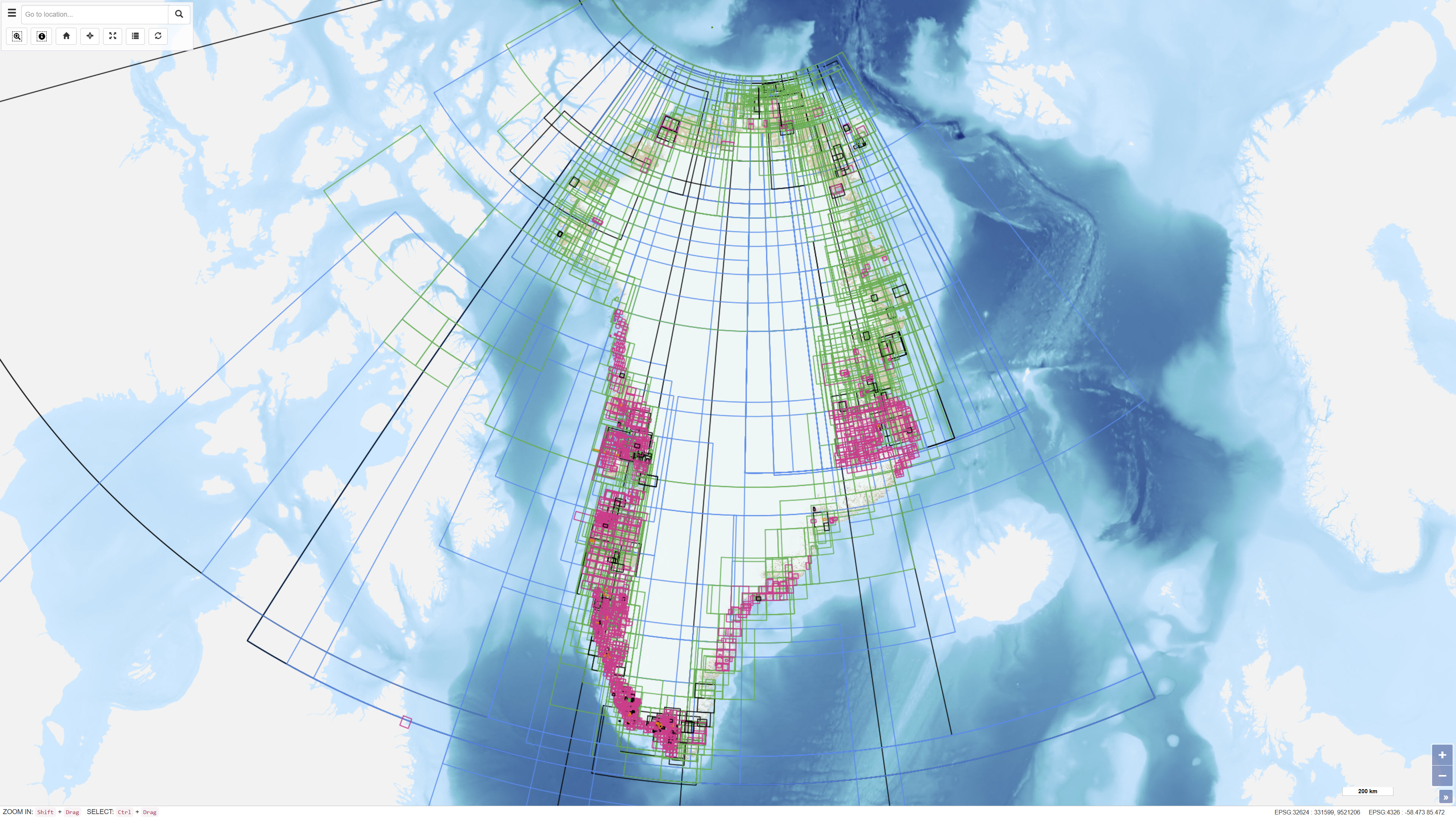
Index Layer of Archived Unpublished Historical Geological Maps and Sections from Greenland
Simple
- Date ( Publication )
- 2022-01-01
- Identifier
- dk.geus / grl_archived_historical_geological_maps_index
- Presentation form
- Digital map
- Purpose
- The purpose of the dataset is to enable users to locate and identify archived historical geological maps and sections from Greenland and to support archive access and documentation.
- Status
- On going
- Maintenance and update frequency
- As needed
- Keywords ( Theme )
-
- Dataset
- Geological Maps
- Historical Maps
- Archive
- Unpublished Maps
- Greenland
- Forskningsemner Forskningsemner ( Theme )
- Geografisk Geografisk ( Place )
- Access constraints
- Other restrictions
- Use constraints
- Other restrictions
- Other constraints
- CC BY 4.0
- Spatial representation type
- Vector
- Denominator
- 500000
- Metadata language
- en
- Character set
- UTF8
- Topic category
-
- Geoscientific information
- Planning cadastre
))
- Supplemental Information
- The dataset functions solely as an index and reference layer. Access to the original map material may be subject to archival or copyright restrictions.
- Reference system identifier
- WGS 84 / UTM 24N (EPSG:32624)
- Distribution format
-
-
WMS
(
)
-
WFS
(
)
-
SHP
(
)
-
GeoJSON
(
)
-
WMS
(
)
- OnLine resource
-
Interactive webmap
(
WWW:LINK-1.0-http--link
)
Interactive map displaying the dataset.
- OnLine resource
-
gg_maparchive
(
OGC:WMS-1.3.0-http-get-capabilities
)
WMS for Map archive polygons
- OnLine resource
-
ms:gg_maparchive
(
OGC:WFS-1.0.0-http-get-capabilities
)
WFS for Map archive polygons
- OnLine resource
-
Download
Download dataset as shapefile
- OnLine resource
-
Download
Download dataset as GeoJSON
- Hierarchy level
- Dataset
- Statement
- The dataset has been established as a digital index layer based on records of archived and unpublished geological maps and sections. Geographic outlines have been digitised or registered to represent the spatial extent of the associated archive material. The dataset does not contain the original map data.
- File identifier
- d31007c0-dde2-4ec7-b7d5-87b75eb0d76d XML
- Metadata language
- Danskda
- Character set
- UTF8
- Hierarchy level
- Dataset
- Date stamp
- 2026-03-03T14:13:50.772181Z
- Metadata standard name
- ISO 19115:2003/19139
- Metadata standard version
- 1.0
Overviews
Spatial extent
Provided by
