 Arctic SDI catalogue
Land Cover for Agricultural Regions of Canada, circa 2000, Date Index
Simple
- Date ( RI_367 )
- 2009-04-01
- Date ( RI_366 )
- 2009-04-01
- Presentation form
- mapDigital;carteNumérique RI_391
- Status
- completed; complété RI_593
- Maintenance and update frequency
- notPlanned; nonPlanifié RI_542
- Government of Canada Core Subject Thesaurus Thésaurus des sujets de base du gouvernement du Canada ( RI_528 )
-
- Earth sciences
- Land cover
- Remote sensing
- Use limitation
- Open Government Licence - Canada (http://open.canada.ca/en/open-government-licence-canada)
- Access constraints
- license; licence RI_606
- Use constraints
- license; licence RI_606
- Spatial representation type
- vector; vecteur RI_635
- Metadata language
- eng; CAN
- Topic category
-
- Imagery base maps earth cover
- Begin date
- 2000-01-01
))
- Reference system identifier
- www.epsg.org / EPSG: 3857 / 8.3.4
- OnLine resource
-
Data Product Specification
(
HTTPS
)
Supporting Document;PDF;eng
- OnLine resource
-
Landcover Classifications
(
HTTPS
)
Supporting Document;XLS;eng
- OnLine resource
-
Legend
(
HTTPS
)
Supporting Document;PNG;eng
- OnLine resource
-
Data Product Specification
(
HTTPS
)
Supporting Document;PDF;fra
- OnLine resource
-
Landcover Classifications
(
HTTPS
)
Supporting Document;XLS;fra
- OnLine resource
-
Legend
(
HTTPS
)
Supporting Document;PNG;fra
- OnLine resource
-
Pre-packaged FGDB files (Bilingual)
(
HTTPS
)
Dataset;FGDB/GDB;eng,fra
- OnLine resource
-
Pre-packaged GeoJSON files (Bilingual)
(
HTTPS
)
Dataset;GEOJSON;eng,fra
- File identifier
- dedb79e3-1397-4aff-9756-9e78904b11b0 XML
- Metadata language
- eng; CAN
- Character set
- utf8; utf8 RI_458
- Parent identifier
- Land Cover for Agricultural Regions of Canada, circa 2000 16d2f828-96bb-468d-9b7d-1307c81e17b8
- Hierarchy level
- dataset; jeuDonnées RI_622
- Date stamp
- 2025-03-17T09:24:59
- Metadata standard name
- North American Profile of ISO 19115:2003 - Geographic information - Metadata
- Metadata standard version
- CAN/CGSB-171.100-2009
Overviews
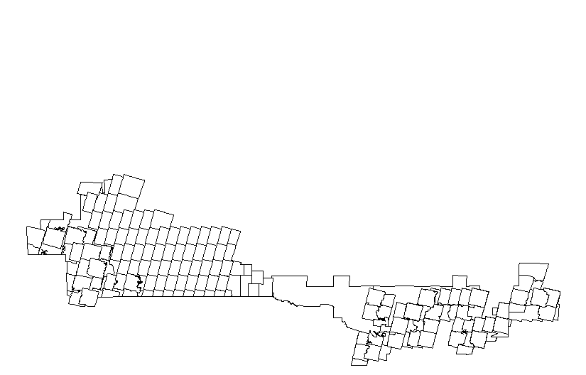
Spatial extent
Provided by
