 Arctic SDI catalogue
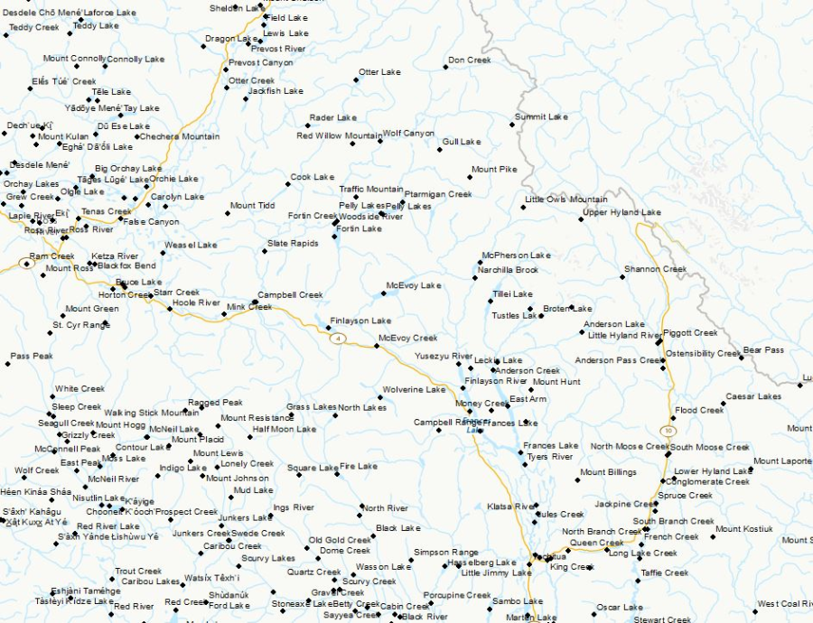
Canadian Geographical Names - CGN
The Canadian Geographical Names Data Base (CGNDB) is the authoritative national database of Canada's geographical names. The purpose of the CGNDB is to store place names and their attributes that have been approved by the Geographical Names Board of Canada (GNBC), the national coordinating body responsible for standards and policies on place names. The CGNDB is maintained by Natural Resources Canada, through the Canada Centre for Mapping and Earth Observation. The geographic extent of the CGNDB is the Canadian landmass and water bodies; the temporal extent is from 1897 to present. This dataset is extracted from the CGNDB on a weekly basis, and consists of current officially approved names, feature type, coordinates of the feature, decision date, source, and other attributes. The output file formats for this product are: text (CSV), Shape (SHP), and Keyhole Markup Language (KML).
Content advisory: The Canadian Geographical Names Database contains historical terminology that is considered racist, offensive and derogatory. Geographical naming authorities are in the process of addressing many offensive place names, but the work is still ongoing. For more information, please contact the GNBC Secretariat.
Simple
- Date ( RI_367 )
- 2017-04-20
- Date ( RI_366 )
- 2017-04-20
- Presentation form
- mapDigital;carteNumérique RI_391
- Status
- onGoing; enContinue RI_596
- Maintenance and update frequency
- weekly; hebdomadaire RI_534
- Update scope
- feature; entité RI_626
- Keywords ( RI_525 )
-
- Canada
- Keywords ( RI_524 )
-
- Earth Sciences
- Keywords ( RI_529 )
-
- CGN
- GNBC
- CGNDB
- Keywords ( RI_528 )
-
- Place Names
- Geographical Names
- Toponymy
- Government of Canada Core Subject Thesaurus Thésaurus des sujets de base du gouvernement du Canada ( RI_528 )
-
- Maps
- Toponymy
- Geographic data
- Geography
- Geographical maps
- Use limitation
- Open Government Licence - Canada (http://open.canada.ca/en/open-government-licence-canada)
- Access constraints
- license; licence RI_606
- Use constraints
- license; licence RI_606
- Classification
- unclassified; nonClassifié RI_484
- Spatial representation type
- vector; vecteur RI_635
- Metadata language
- eng; CAN
- Metadata language
- fra; CAN
- Character set
- utf8; utf8 RI_458
- Topic category
-
- Location
))
- Begin date
- 1897
- Reference system identifier
- http://www.epsg-registry.org / EPSG:4617 / 8.4.1
- Distribution format
-
-
SHP
(
unknown
)
- File decompression technique
- ZIP
-
KML
(
2.2
)
- File decompression technique
- KMZ
-
CSV
(
unknown
)
- File decompression technique
- ZIP
-
SHP
(
unknown
)
- OnLine resource
-
Documentation related to Canadian Geographical Names (CGN)
(
HTTP
)
Supporting Document;PDF;eng,fra
- OnLine resource
-
The Canadian Geographical Names Data Base (CGNDB)
(
ESRI REST: Map Server
)
Web Service;ESRI REST;eng
- OnLine resource
-
The Canadian Geographical Names Data Base (CGNDB)
(
ESRI REST: Map Server
)
Web Service;ESRI REST;fra
- OnLine resource
-
The Canadian Geographical Names Data Base (CGNDB)
(
OGC:WMS
)
Web Service;WMS;eng
- OnLine resource
-
The Canadian Geographical Names Data Base (CGNDB)
(
OGC:WMS
)
Web Service;WMS;fra
- OnLine resource
-
Pre-packaged CSV files - CGN Canada/Province/Territory/Undersea
(
HTTP
)
Dataset;CSV;fra
- OnLine resource
-
Pre-packaged CSV files - CGN Canada/Province/Territory/Undersea
(
HTTP
)
Dataset;CSV;eng
- OnLine resource
-
Pre-packaged KML files - CGN Canada/Province/Territory/Undersea
(
HTTP
)
Dataset;KML;eng
- OnLine resource
-
Pre-packaged KML files - CGN Canada/Province/Territory/Undersea
(
HTTP
)
Dataset;KML;fra
- OnLine resource
-
Pre-packaged SHP files - CGN Canada/Province/Territory/Undersea
(
HTTP
)
Dataset;SHP;eng
- OnLine resource
-
Pre-packaged SHP files - CGN Canada/Province/Territory/Undersea
(
HTTP
)
Dataset;SHP;fra
- Hierarchy level
- dataset; jeuDonnées RI_622
- Description
- The precursor to the CGNDB (Canadian Geographical Names Database) was developed in 1978 to replace an expanding paper file catalogue in place since the establishment of the Geographical Board of Canada in 1897. The Geographical Board of Canada was later replaced by the Geographical Names Board of Canada.
- File identifier
- e27c6eba-3c5d-4051-9db2-082dc6411c2c XML
- Metadata language
- eng; CAN
- Character set
- utf8; utf8 RI_458
- Hierarchy level
- dataset; jeuDonnées RI_622
- Date stamp
- 2025-12-22T13:22:56
- Metadata standard name
- North American Profile of ISO 19115:2003 - Geographic information - Metadata
- Metadata standard version
- CAN/CGSB-171.100-2009
Overviews
Spatial extent
Provided by
