 Arctic SDI catalogue
Geofysiska markmätningar, prospekteringsområden (visningstjänst)
Simple
Identification info
- Alternate title
- Ground Geophysics
- Date ( Publication )
- 2012-03-29
- Identifier
- a69062d9-3490-4db5-adc8-7ecddcf936cc
- Name
- 101
- Status
- On going
www.sgu.se
- Maintenance and update frequency
- As needed
- KOMMISSIONENS FÖRORDNING (EG) nr 1205/2008 av den 3 december 2008 om genomförande av Europaparlamentets och rådets direktiv 2007/2/EG om metadata ( Theme )
-
- Tjänst för åtkomst till karta
- Ämnesområde ( Theme )
-
- Geovetenskap
- Geografisk utsträckning ( Theme )
- Access constraints
- Other restrictions
- Other constraints
- Ingen begränsning
- Use constraints
- Other restrictions
- Other constraints
- Se https://creativecommons.org/publicdomain/zero/1.0/deed.sv
- Service Type
- view
Extent

Contains Operations
Distributor
www.sgu.se
- OnLine resource
-
Web Map Service
(
HTTP:OGC:WMS
)
Visningstjänst
- OnLine resource
-
Kartvisare
(
HTTP:Information
)
Kartvisarapplikation för presentation av WMS-tjänst
- OnLine resource
-
Web Map Service
(
HTTP:OGC:WMS
)
Visningstjänst
- OnLine resource
-
Kartvisare
(
HTTP:Information
)
Kartvisarapplikation för presentation av WMS-tjänst
- Hierarchy level
- Service
- File identifier
- e5334846-d2f9-4f1c-99a8-28da6e4a9177 XML
- Metadata language
- sv
- Hierarchy level
- Service
- Date stamp
- 2024-11-21T13:46:53.805Z
- Metadata standard name
- SS-EN-ISO-19115:2005-NMDP 4.0
- Metadata standard version
- 4.0
www.sgu.se
Overviews
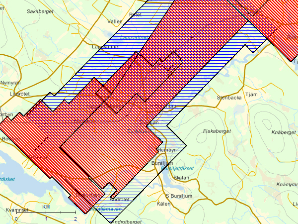
Spatial extent
Provided by
