 Arctic SDI catalogue
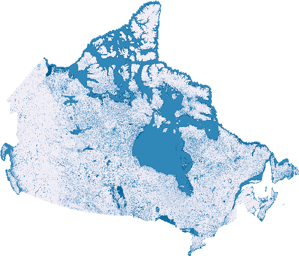
Historic - Flood Susceptibility Mapping
This series of historic flood susceptibility maps comes from an XGBboost machine learning model trained on major floods from 2005 to 2023. The trained model is then run for each year from 2000 to 2023, including unique temporal characteristics of temperature, precipitation, land use land cover and Normalized Difference Vegetation Index (NDVI), to predict the flood susceptibility of any given year.
This dataset forms part of a broader collection of flood susceptibility datasets, offering related information and analyses. The collection includes an overview page with associated publications, historic susceptibility values, temporal trends, and future projections.
- [Collection – Flood Susceptibility Mapping]( https://open.canada.ca/data/en/dataset/1074f781-85d3-4c86-86cb-fd1c339197dc )
- [Trends and Extremes – Flood Susceptibility Mapping]( https://open.canada.ca/data/en/dataset/3202e0a0-0afb-4120-b102-b0c41f0fb9eb )
- [Future - Flood Susceptibility Mapping]( https://open.canada.ca/data/en/dataset/c00f95a3-7bab-4d28-b9cc-b30f06b5afd2 )
Simple
- Date ( RI_366 )
- 2026-03
- Date ( RI_367 )
- 2026-03
- Purpose
- The purpose of this dataset is to provide annual historic flood susceptibility estimates using a machine‑learning model trained on major floods from 2005–2023. The XGBoost model is applied to each year from 2000–2023, incorporating year‑specific temperature, precipitation, land‑use/land‑cover (LULC), and NDVI conditions to generate a consistent, data‑driven estimate of flood susceptibility for any given year. Each annual map can be reviewed on its own or used as input for custom analyses, trend assessments, or comparative studies.
- Credit
- Canada Centre for Remote Sensing (CCRS)/Canada Centre for Mapping and Earth Observation (CCMEO), Natural Resources Canada (NRCan)
- Status
- onGoing; enContinue RI_596
- Maintenance and update frequency
- annually; annuel RI_539
- Keywords ( RI_528 )
-
- flood susceptibility
- flood likelihood
- flood screening
- historical data
- dépistage des zones inondables
- Keywords ( RI_525 )
-
- Mid-latitude
- Western Hemisphere
- Northern Hemisphere
- North America
- Canada
- Government of Canada Core Subject Thesaurus Thésaurus des sujets de base du gouvernement du Canada ( RI_528 )
-
- Earth sciences
- Surface water
- Geographical maps
- Floods
- Hydrology
- Water management
- Use limitation
- Open Government Licence - Canada (http://open.canada.ca/en/open-government-licence-canada)
- Access constraints
- license; licence RI_606
- Use constraints
- license; licence RI_606
- Spatial representation type
- grid; grille RI_636
- Metadata language
- eng; CAN
- Character set
- utf8; utf8 RI_458
- Topic category
-
- Environment
- Geoscientific information
- Inland waters
- Climatology, meteorology, atmosphere
- Begin date
- 2000
- End date
- 2023
))
- Reference system identifier
- https://www.epsg-registry.org / EPSG:3979 /
Spatial representation info
- Distribution format
-
-
COG
(
Unknown
)
-
COG
(
Unknown
)
- OnLine resource
-
Scientific Publication
(
HTTPS
)
Supporting Document;HTML;eng
- OnLine resource
-
SpatioTemporal Asset Catalog (STAC) browser
(
HTTPS
)
Application;HTML;zxx
- OnLine resource
-
SpatioTemporal Asset Catalog (STAC) Application Programming Interface (API)
(
HTTPS
)
API;JSON;eng
- OnLine resource
-
Cartes de susceptibilité aux inondations – Historique (modélisées à partir des observations historiques) – 30 m
(
OGC:WMS
)
Web Service;WMS;fra
- OnLine resource
-
Flood Susceptibility Maps – Historic (modelled based on historic observations) - 30 m
(
OGC:WMS
)
Web Service;WMS;eng
- File identifier
- ea1384df-bf4a-4743-97bb-870dc43f8d77 XML
- Metadata language
- eng; CAN
- Character set
- utf8; utf8 RI_458
- Parent identifier
- Collection - Flood Susceptibility Mapping 1074f781-85d3-4c86-86cb-fd1c339197dc
- Hierarchy level
- dataset; jeuDonnées RI_622
- Date stamp
- 2026-04-23T10:34:42
- Metadata standard name
- North American Profile of ISO 19115:2003 - Geographic information - Metadata
- Metadata standard version
- CAN/CGSB-171.100-2009
Overviews
Spatial extent
Provided by
