 Arctic SDI catalogue
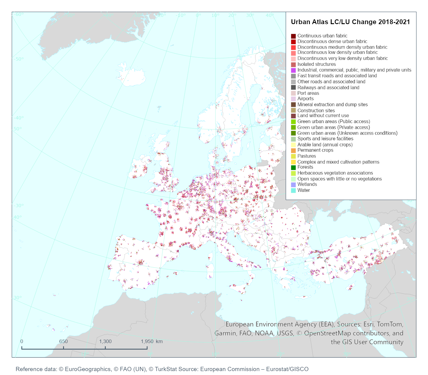
Urban Atlas Land Cover/Land Use Change 2018-2021 (vector), Europe, 3-yearly, Jan. 2026
Simple
- Date ( Creation )
- 2025-11-15
- Date ( Publication )
- 2026-01-31
- Edition
- 01.00
- Identifier
- copernicus_v_3035_10_k_uac-2018-2021_p_2018-2021_v01_r00
- Identifier
- DAT-190-en
- Unique resource identifier
- 10.2909/2650ec59-f8df-4072-8a9c-9cc951fd7661
- Codespace
- doi.org
- Maintenance and update frequency
- As needed
- GEMET - INSPIRE themes, version 1.0 ( Theme )
- Keywords
-
- Keywords
-
- GEMET ( Theme )
- Spatial scope ( Theme )
- EEA topics ( Theme )
- Access constraints
- Other restrictions
- Other constraints
- no limitations to public access
- Use constraints
- Other restrictions
- Other constraints
-
The Copernicus component is governed by Regulation (EU) No 2021/696 of the European Parliament and of the Council of 28 April 2021 establishing the Union Space Programme and the European Union Agency for the Space Programme and repealing Regulations (EU) No 912/2010, (EU) No 1285/2013 and (EU) No 377/2014 and Decision No 541/2014/EU. Within the Copernicus component, a portfolio of land monitoring activities has been delegated by the European Union to the European Environment Agency (EEA) and the DG Joint Research Centre of the European Commission.
The Copernicus land monitoring products and services are made available on a principle of full, open and free access, as established by the Commission Delegated Regulation (EU) No 1159/2013 of 12 July 2013.
Free, full and open access to the products and services of the Copernicus Land Monitoring Service is made on the conditions that:
1. When distributing or communicating Copernicus Land Monitoring Service products and services (data, software scripts, web services, user and methodological documentation and similar) to the public, users shall inform the public of the source of these products and services.
2. Where the Copernicus Land Monitoring Service products and services have been adapted or modified by the user, the user shall clearly state this.
3. Users shall make sure not to convey the impression to the public that the user's activities are officially endorsed by the European Union.
- Spatial representation type
- vector Vector
- Denominator
- 10000
- Metadata language
- en
- Character set
- utf8 UTF8
- Topic category
-
- Environment
- Imagery base maps earth cover
- Begin date
- 2018-01-01
- End date
- 2021-12-31
))
- Supplemental Information
-
Typology
11100 Continuous Urban Fabric (S.L. > 80%)
11210 Discontinuous Dense Urban Fabric (S.L. : 50% - 80%)
11220 Discontinuous Medium Density Urban Fabric (S.L. : 30% - 50%)
11230 Discontinuous Low Density Urban Fabric (S.L. : 10% - 30%)
11240 Discontinuous Very Low Density Urban Fabric (S.L. < 10%)
11300 Isolated Structures
12100 Industrial, commercial, public, military and private units
12210 Fast transit roads and associated land
12220 Other roads and associated land
12230 Railways and associated land
12300 Port areas
12400 Airports
13100 Mineral extraction and dump sites
13300 Construction sites
13400 Land without current use
14110 Green urban areas (Public access)
14120 Green urban areas (Private access)
14130 Green urban areas (Unknown access conditions)
14200 Sports and leisure facilities
21000 Arable land (annual crops)
22000 Permanent crops (vineyards, fruit trees, olive groves)
23000 Pastures
24000 Complex and mixed cultivation patterns
31000 Forests
32000 Herbaceous vegetation associations (natural grassland, moors...)
33000 Open spaces with little or no vegetations (beaches, dunes, bare rocks, glaciers)
40000 Wetland
50000 Water bodies
- Unique resource identifier
- EPSG:3035
- Distribution format
-
-
FlatGeobuf
(
1.1
)
-
FlatGeobuf
(
1.1
)
- OnLine resource
- Product Information & Technical Documentation ( WWW:LINK )
- OnLine resource
-
CLMS Website
(
WWW:DOWNLOAD
)
Download (requires authentication)
OnLine resource
- OnLine resource
- Digital Object Identifier (DOI) ( DOI )
- Hierarchy level
- Dataset
Conformance result
- Date ( Publication )
- 2010-12-08
- Explanation
- See the referenced specification
Absolute external positional accuracy
- Name of measure
- Minimum Mapping Unit
Quantitative result
- Value
- Urban (class 1) to urban (class 1) = 0.1 ha
Absolute external positional accuracy
- Name of measure
- Minimum Mapping Unit
Quantitative result
- Value
- Rural/natural (classes 2-5) to urban (class 1) = 0.1 ha
Absolute external positional accuracy
- Name of measure
- Minimum Mapping Unit
Quantitative result
- Value
- Rural/natural (classes 2-5) to rural/natural (classes 2-5) = 0.25 ha
Absolute external positional accuracy
- Name of measure
- Minimum Mapping Unit
Quantitative result
- Value
- Urban (class 1) to rural/natural (classes 2-5) = 0.25 ha
- Statement
-
Using the VHR satellite imagery of the reference years 2018 and 2021 in an image-to-image change detection process, the resulting changes as compared to 2018 are mapped.
Tasks are performed by applying a mixture of automatic classification routines and visual interpretation. Only polygons containing a real change are mapped into this change layer. For this layer, the MMU (Minimum Mapping Unit) is reduced up to 0.1 ha with some exceptions.
Use of ancillary data (OpenStreet Map, TomTom®, CLCplus Backbone 2021, HRL IMD).
To ensure that relevant LC/LU changes are appropriately extracted, some specific Minimum Mapping Units for LULC change layer are defined as below:
• Urban (class 1) to urban (class 1) = 0.1 ha
• Rural/natural (classes 2-5) to urban (class 1) = 0.1 ha
• Rural/natural (classes 2-5) to rural/natural (classes 2-5) = 0.25 ha
• Urban (class 1) to rural/natural (classes 2-5) = 0.25 ha
Considering these MMUs (Minimum Mapping Units), exceptions are made in case of areas where changes involve road and railway networks (classes 12210, 12220, 12230); polygon features classified as road or railway for one date or directly connected to such element are extracted even if area is lower than MMU in order to keep consistency of the transportation network. In this case, and for the concerned polygons, a comment is added in the attribute table.
- File identifier
- 2650ec59-f8df-4072-8a9c-9cc951fd7661 XML
- Metadata language
- en
- Character set
- UTF8
- Hierarchy level
- Dataset
- Date stamp
- 2026-03-31T09:49:23.138396Z
- Metadata standard name
- ISO 19115/19139
- Metadata standard version
- 1.0
Overviews
Spatial extent
Provided by
