 Arctic SDI catalogue
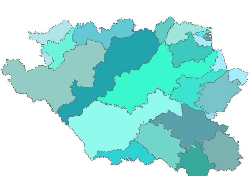
Major Basins of the Watersheds Project - 2013
The “Major Basins of the AAFC Watersheds Project - 2013” dataset is a geospatial data layer containing polygon features representing the 23 major basins of the Agriculture and Agri-Food Canada (AAFC) Watersheds Project.
The Project is subdivided by ‘incremental gross drainage areas’ associated to individual hydrometric gauging stations. The maximum area that could contribute runoff to each gauging station, less that of its upstream neighbour(s) is called an ‘incremental gross drainage area’. Conceptually, the major basins are collections of the “incremental gross drainage areas” associated with particular major river or lake reach (for example, reaches of the Saskatchewan or Athabasca River). In practice, each major basin consists of the collection of incremental gross drainage areas, whose gauging stations’ numbers have collections of the same three first characters. For example, the Assiniboine River major basin contains the incremental gross drainage areas whose gauging station numbers start with 05J, 05M, or 05N.
Simple
- Date ( RI_367 )
- 2013-04-05
- Date ( RI_366 )
- 2013-04-05
- Presentation form
- mapDigital;carteNumérique RI_391
- Status
- completed; complété RI_593
- Maintenance and update frequency
- unknown; inconnu RI_543
- Government of Canada Core Subject Thesaurus Thésaurus des sujets de base du gouvernement du Canada ( RI_528 )
-
- Water
- Drainage
- Inland waters
- Western provinces
- Watersheds
- Hydrology
- Use limitation
- Open Government Licence - Canada (http://open.canada.ca/en/open-government-licence-canada)
- Access constraints
- license; licence RI_606
- Use constraints
- license; licence RI_606
- Spatial representation type
- vector; vecteur RI_635
- Metadata language
- eng; CAN
- Topic category
-
- Inland waters
- Begin date
- 2013-01-01
))
- Reference system identifier
- www.epsg.org / EPSG: 3857 / 8.3.4
- OnLine resource
-
Data Product Specification (English)
(
HTTPS
)
Supporting Document;PDF;eng
- OnLine resource
-
Data Product Specification (French)
(
HTTPS
)
Supporting Document;PDF;fra
- OnLine resource
-
Pre-packaged FGDB files (Bilingual)
(
HTTPS
)
Dataset;FGDB/GDB;eng,fra
- OnLine resource
-
Pre-packaged GeoJSON files (Bilingual)
(
HTTPS
)
Dataset;GEOJSON;eng,fra
- File identifier
- 27c70cf8-2ad2-4c69-a529-90f91561b741 XML
- Metadata language
- eng; CAN
- Character set
- utf8; utf8 RI_458
- Parent identifier
- AAFC Watershed Project - 2013 c20d97e7-60d8-4df8-8611-4d499a796493
- Hierarchy level
- dataset; jeuDonnées RI_622
- Date stamp
- 2025-05-26T17:11:28
- Metadata standard name
- North American Profile of ISO 19115:2003 - Geographic information - Metadata
- Metadata standard version
- CAN/CGSB-171.100-2009
Overviews
Spatial extent
Provided by
