 Arctic SDI catalogue
Indigenous Population of Canada (2016)
Simple
- Date ( RI_367 )
- 2021
- Date ( RI_366 )
- 2016
- Status
- onGoing; enContinue RI_596
- Maintenance and update frequency
- asNeeded; auBesoin RI_540
- Keywords ( RI_525 )
-
- ecumene, populated places, indigenous communities, census, labour force, socio-economic, demographic, ecosystems
- Government of Canada Core Subject Thesaurus Thésaurus des sujets de base du gouvernement du Canada ( RI_528 )
-
- Socioeconomic data
- Demographic maps
- Indigenous peoples
- Population
- Ecosystems
- Census data
- Population distribution
- Demographic data
- Use limitation
- Open Government Licence - Canada (http://open.canada.ca/en/open-government-licence-canada)
- Access constraints
- license; licence RI_606
- Use constraints
- license; licence RI_606
- Spatial representation type
- vector; vecteur RI_635
- Metadata language
- eng
- Metadata language
- fra
- Topic category
-
- Environment
- Society
- Begin date
- 2016-01-01
- End date
- 2016-12-31
))
- Reference system identifier
- http://www.epsg-registry.org / EPSG:3978 /
- Reference system identifier
- http://www.epsg-registry.org / EPSG:3347 /
- Distribution format
-
-
ESRI REST
(
10.7.1
)
-
FGDB/GDB
(
10
)
-
WMS
(
1.3.0
)
-
ESRI REST
(
10.7.1
)
- OnLine resource
-
Indigenous Population of Canada (2016)
(
ESRI REST: Map Server
)
Web Service;ESRI REST;eng
- OnLine resource
-
Indigenous Population of Canada (2016)
(
ESRI REST: Map Server
)
Web Service;ESRI REST;fra
- OnLine resource
-
Indigenous Population of Canada (2016) - WMS - EN
(
HTTPS
)
Web Service;WMS;eng
- OnLine resource
-
Indigenous Population of Canada (2016) - WMS - FR
(
HTTPS
)
Web Service;WMS;fra
- OnLine resource
-
Indigenous Population of Canada (2016) Bilingual - FGDB/GDB
(
HTTPS
)
Dataset;FGDB/GDB;eng,fra
- OnLine resource
-
Indigenous Population of Canada (2016) - MXD - EN
(
HTTPS
)
Supporting Document;MXD;eng
- OnLine resource
-
Indigenous Population of Canada (2016) - MXD - FR
(
HTTPS
)
Supporting Document;MXD;fra
- File identifier
- 3d52693e-39d1-4e7f-b4fa-b72ccb605006 XML
- Metadata language
- eng; CAN
- Character set
- utf8; utf8 RI_458
- Parent identifier
- The Canadian Ecumene (CanEcumene) 3.0 GIS Database 3f599fcb-8d77-4dbb-8b1e-d3f27f932a4b
- Hierarchy level
- dataset; jeuDonnées RI_622
- Date stamp
- 2021-10-08T15:10:05
- Metadata standard name
- North American Profile of ISO 19115:2003 - Geographic information - Metadata
- Metadata standard version
- CAN/CGSB-171.100-2009
Overviews
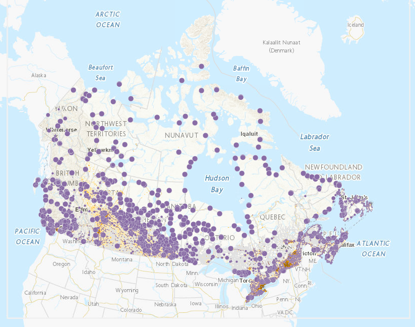
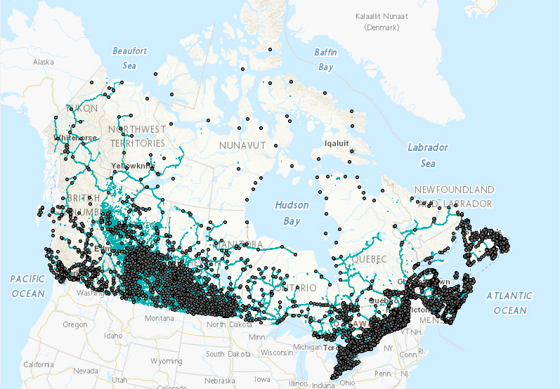
Spatial extent
Provided by
