 Arctic SDI catalogue
Supporting data with depth values for potential hazard areas
Simple
- Date ( Publication )
- 2022-01-01
- Identifier
- dk.geus / dk_stoettedata_dybdevaerdier_potentielle_fareomraader
- Presentation form
- Digital map
- Purpose
-
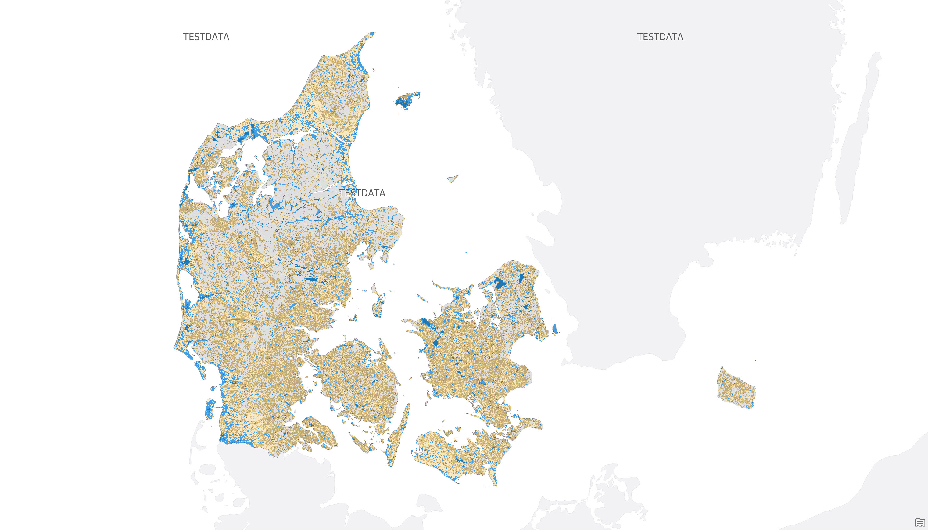
The purpose of the dataset is to provide users with a supplementary data basis for understanding and interpreting the potential hazard areas for groundwater flooding. The dataset shows groundwater depth values in metres below terrain and can be used together with the hazard area dataset for screening, planning and general assessment of shallow groundwater conditions. The dataset should not be used as a local detailed assessment of groundwater conditions.
The dataset shows groundwater depth values in metres below terrain as a supplement to the mapping of potential hazard areas for groundwater flooding. The depth values cover the interval from 0 m to 3 m and above. The interval from 0 m to 1 m is covered by the rules set out in the draft Executive Order, where 1 m below terrain is used as the threshold value for identifying potential hazard areas for groundwater flooding. The dataset does not in itself represent a legal designation, but supports the interpretation of the hazard area dataset and should be used with attention to uncertainties in the data basis, model calculations, climate projections and spatial resolution. The interval from 1 m to 3 m is also considered relevant due to the uncertainty in the dataset, which is estimated at approximately 1 m, expressed as the mean absolute error in Troldborg et al. (2026). Although the threshold value for identifying potential hazard areas for groundwater flooding is set at 1 m, it may therefore be beneficial for the mapping of potential hazard areas to also take this uncertainty into account.
The thematic time period of the dataset is the projection period 2071–2100. The historical input dataset for median winter groundwater table represents the period 1991–2025.
The dataset is supporting data for the dataset "Potential hazard areas for groundwater flooding" (https://metadata.geus.dk/geonetwork/srv/dan/catalog.search#/metadata/52e56e3b-ea89-4c67-a28e-f6885494b0b1).
- Status
- Completed
- Maintenance and update frequency
- As needed
- Keywords ( Theme )
-
- Dataset
- Groundwater
- Depth values
- Supporting data
- Climate adaptation
- Forskningsemner Forskningsemner ( Theme )
- Geografisk Geografisk ( Place )
- Access constraints
- Other restrictions
- Use constraints
- Other restrictions
- Other constraints
- CC BY 4.0
- Other constraints
- Creative Commons Attribution 4.0 International (CC BY 4.0). The dataset may be used freely with attribution.
- Spatial representation type
- Grid
- Denominator
- 10000
- Metadata language
- Da
- Character set
- UTF8
- Topic category
-
- Geoscientific information
- Begin date
- 2071-01-01
- End date
- 2100-12-31
))
- Supplemental Information
- Non specified
- Reference system identifier
- ETRS 89 / UTM 32N (EPSG:25832)
- Distribution format
-
-
GeoTIFF
(
)
-
GeoTIFF
(
)
- OnLine resource
-
Interactive webmap
(
WWW:LINK-1.0-http--link
)
Interactive map displaying the dataset.
- OnLine resource
-
Scientific article on high-resolution modelling of shallow groundwater using a knowledge-guided gradient boosting decision tree model.
(
DOI
)
Koch, J., Gotfredsen, J., Schneider, R., Troldborg, L., Stisen, S., & Henriksen, H. J. (2021). High resolution water table modeling of the shallow groundwater using a knowledge-guided gradient boosting decision tree model. Frontiers in Water, 3, 701726.
- OnLine resource
-
Scientific article on machine-learning-based downscaling of modelled climate change impacts on groundwater table depth.
(
DOI
)
Schneider, R., Koch, J., Troldborg, L., Henriksen, H. J., & Stisen, S. (2022). Machine-learning-based downscaling of modelled climate change impacts on groundwater table depth. Hydrology and Earth System Sciences, 26(22), 5859-5877.
- OnLine resource
-
Documentation report for model deliveries to the Hydrological Information and Forecasting System, version 2.
(
DOI
)
Troldborg, L., Ondracek, M., Koch, J., Schneider, R. J. M., Henriksen, H. J., Kragh, S. J., Gotfredsen, J., van Til, M., Jakobsen, A., Rasmussen, P., Pasten-Zapata, E., & Stisen, S. (2026). Dokumentationsrapport vedr. modelleverancer til Hydrologisk Informations- og Prognosesystem - Version 2. De Nationale Geologiske Undersøgelser for Danmark og Grønland. Danmarks og Grønlands Geologiske Undersøgelse Rapport Vol. 2026 No. 9.
- OnLine resource
-
Report from the working group on tightening the Planning Act's rules on climate adaptation, etc.
(
WWW:LINK-1.0-http--link
)
Report with proposals for amendments to the Planning Act to strengthen climate adaptation and prevent damage from flooding and erosion through more robust planning requirements
- OnLine resource
-
The consultation portal
(
WWW:LINK-1.0-http--link
)
Consultation on a proposal for a law amending the Planning Act, the Nature Conservation Act and the Building Act (Better development opportunities for rural areas and stricter requirements for climate adaptation on the coasts)
- OnLine resource
-
Annex 1 to the Climate Adaptation Executive Order
(
WWW:DOWNLOAD-1.0-http--download
)
Method description for maps of potential danger areas, cf. section 1 of the executive order
- OnLine resource
-
The consultation portal
(
WWW:LINK-1.0-http--link
)
Consultation on draft executive order on climate adaptation in municipal plans
- OnLine resource
-
Climate adaptation in municipal plans
(
WWW:LINK-1.0-http--link
)
How to find draft state maps of potential hazard areas.
- Hierarchy level
- Dataset
- Statement
- The dataset was established as supporting data for the mapping of potential hazard areas for groundwater flooding. The depth values are calculated from data from the Hydrological Information and Forecasting System (HIP). Two HIP data layers were used: the historical median winter groundwater table at 10 × 10 m resolution, representing the period 1991-2025, and a projected change in mean winter groundwater table at 100 × 100 m resolution for the RCP8.5 emissions scenario for the period 2071-2100. The projected change represents the median across 17 climate models. The historical winter groundwater table was calculated using a machine learning model, while the climate-related change was simulated using the National Hydrological Model for Denmark, also known as the DK model. The two data layers were combined to calculate a projected typical winter groundwater table. The result provides the depth to the groundwater table in metres below terrain and serves as a supplement to the dataset showing potential hazard areas for groundwater flooding.
- File identifier
- 59b44227-2994-4de5-8e6e-aa74e9e3ac26 XML
- Metadata language
- Danskda
- Character set
- UTF8
- Hierarchy level
- Dataset
- Date stamp
- 2026-08-28T09:53:37.882663Z
- Metadata standard name
- ISO 19115:2003/19139
- Metadata standard version
- 1.0
Overviews
Spatial extent
Provided by
