 Arctic SDI catalogue
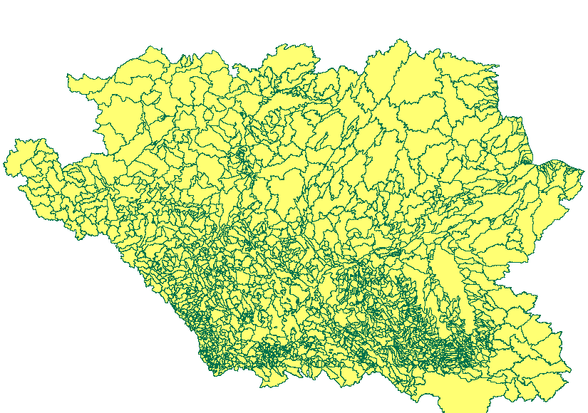
Total Gross Drainage Areas of the AAFC Watersheds Project - 2013
The "Total Gross Drainage Areas of the AAFC Watersheds Project - 2013" dataset is a geospatial data layer containing polygon features representing the maximum area that could contribute surface runoff (total gross drainage areas) for each gauging station of the Agriculture and Agri-Food Canada (AAFC) Watersheds Project.
These polygons overlap as upstream land surfaces form part of multiple downstream gauging stations’ total gross drainage areas.
Drainage area includes all land whose surface runoff contributes to the same drainage outlet or gauging station. Many gauging stations share the same headwaters, thus the overlapping areas (or polygons). The majority of the drainage areas in this dataset have shared areas.
Simple
- Date ( RI_367 )
- 2013-04-05
- Date ( RI_366 )
- 2013-04-05
- Presentation form
- mapDigital;carteNumérique RI_391
- Status
- completed; complété RI_593
- Maintenance and update frequency
- unknown; inconnu RI_543
- Government of Canada Core Subject Thesaurus Thésaurus des sujets de base du gouvernement du Canada ( RI_528 )
-
- Drainage
- Hydrology
- Watersheds
- Water
- Inland waters
- Western provinces
- Use limitation
- Open Government Licence - Canada (http://open.canada.ca/en/open-government-licence-canada)
- Access constraints
- license; licence RI_606
- Use constraints
- license; licence RI_606
- Spatial representation type
- vector; vecteur RI_635
- Metadata language
- eng; CAN
- Topic category
-
- Inland waters
- Begin date
- 2013-01-01
))
- Reference system identifier
- www.epsg.org / EPSG: 3857 / 8.3.4
- OnLine resource
-
Data Product Specification (English)
(
HTTPS
)
Supporting Document;PDF;eng
- OnLine resource
-
Data Product Specification (French)
(
HTTPS
)
Supporting Document;PDF;fra
- OnLine resource
-
Pre-packaged FGDB files (Bilingual)
(
HTTPS
)
Dataset;FGDB/GDB;eng,fra
- OnLine resource
-
Pre-packaged GeoJSON files (Bilingual)
(
HTTPS
)
Dataset;GEOJSON;eng,fra
- File identifier
- 67c8352d-d362-43dc-9255-21e2b0cf466c XML
- Metadata language
- eng; CAN
- Character set
- utf8; utf8 RI_458
- Parent identifier
- AAFC Watershed Project - 2013 c20d97e7-60d8-4df8-8611-4d499a796493
- Hierarchy level
- dataset; jeuDonnées RI_622
- Date stamp
- 2025-05-15T14:45:02
- Metadata standard name
- North American Profile of ISO 19115:2003 - Geographic information - Metadata
- Metadata standard version
- CAN/CGSB-171.100-2009
Overviews
Spatial extent
Provided by
