 Arctic SDI catalogue
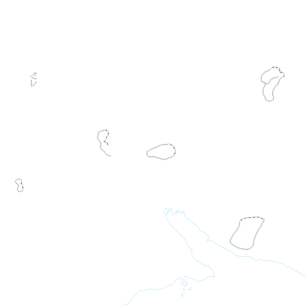
ni_j100v Skriður á Austurlandi – 1:100.000
Þekja (layer) j100v_austurland_skridur_1utg_li:
Lagið sýnir útlínur stærstu framhlaupa á svæðinu.
[The layer shows the outlines of the largest landslides of the area.]
Simple
- Date ( Publication )
- 2019-12-31
- Edition
- 1. útg.
- Other citation details
- Tilvísun: Birgir V. Óskarsson og Martin J. Riishuus 2019. Jarðfræðikort af Austurlandi. 1:100.000. 1. útg. Garðabær: Náttúrufræðistofnun Íslands. Bibliograðhic reference: Óskarsson, B.V. and Riishuus, M.S. 2019. Geological Map of Eastern Iceland. 1:100.000. 1st edition. Garðabær: Icelandic Institute of Natural History.
- Collective title
- Jarðfræðikort af Austurlandi 1. útg. – 1:100.000 – NI_J100v_Austurland_1.utg
- Status
- On going
- Maintenance and update frequency
- As needed
- Keywords ( Theme )
-
- GSL
- Keywords ( Place )
-
- National
- GEMET - INSPIRE themes, version 1.0 ( Theme )
-
- Geology
- GSL flokkun ( Theme )
- Access constraints
- Copyright
- Use constraints
- Copyright
- Other constraints
-
https://www.natt.is/is/midlun/opin-gogn
Gögnin eru öllum opin – no limitations on public access
- Spatial representation type
- Vector
- Denominator
- 100000
- Metadata language
- is
- Character set
- UTF8
- Topic category
-
- Geoscientific information
))
- Begin date
- 2019-06-30
- End date
- 2019-12-31
- Reference system identifier
- EPSG / 3057
- Distribution format
-
-
ESRI ArcGIS FileGDB
(
10.2.0.3389
)
-
ESRI Shapefile
(
10.2.0.3389
)
-
ESRI ArcGIS FileGDB
(
10.2.0.3389
)
- OnLine resource
- Niðurhal gagna ( WWW:LINK-1.0-http--link )
- OnLine resource
- NÁTT kortasjá 'Jarðfræði Íslands' ( WWW:LINK-1.0-http--link )
- OnLine resource
- Vefur Náttúrufræðistofnunar ( WWW:LINK-1.0-http--link )
- OnLine resource
- Íslenskt fitjuskrá '600 Jarðmyndun og landmótun' sem tengjast staðlinum ÍST 120 (PDF) ( WWW:LINK-1.0-http--link )
- OnLine resource
- Skilmálar (PDF) – Licence (PDF) ( WWW:LINK-1.0-http--link )
- OnLine resource
-
ni:ni_j100v_austurland_skridur_1utg_li
(
OGC:WMS
)
Jarðfræði Austurland skriður
- Hierarchy level
- Dataset
- Statement
-
Útlínur framhlaupanna voru fengnar að mestu úr skýrslu Orkustofnunnar, Vatnabúskapur Austurlands (Hjartarson, A.; Sigurdsson, F. & Hafstad, Þ., 1978, Vatnabúskapur Austurlands - skýrsla I forkönnun, Orkustofnun field report, OS JKD 7804.). Viðbótarupplýsingar um skriður sem ekki eru nefndar í skýrslunni eru frá Martin Gasser, Breiðdalssetur.
[The outlines of the landslides are mostly derived from the report "Vatnabúskapur Austurlands" ( Hjartarson, A.; Sigurdsson, F. & Hafstad, Þ., 1978, Vatnabúskapur Austurlands - skýrsla I forkönnun, Orkustofnun field report, OS JKD 7804.).
Additional information on landslides not mentioned in the report from Martin Gasser, Breiðdalssetur.]
- File identifier
- 8927fdf6-f977-4ae5-a21e-dcd8adb5a70b XML
- Metadata language
- en
- Character set
- UTF8
- Parent identifier
- Jarðfræðikort af Austurlandi 1. útgáfa – 1:100.000 c907fbd3-7420-4c0b-81e4-b877514ba8c5
- Date stamp
- 2025-08-08T12:23:41
- Metadata standard name
- INSPIRE Metadata Implementing Rules
- Metadata standard version
- Technical Guidelines based on EN ISO 19115 and EN ISO 19119 (Version 1.2)
Overviews
Spatial extent
Provided by
