 Arctic SDI catalogue
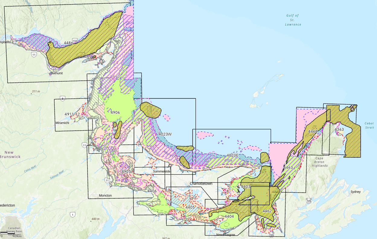
Traditional knowledge of nearshore fisheries for the southern Gulf of St. Lawrence (1994-1997)
In 1998, Fisheries and Oceans Canada (DFO) published an atlas called "Traditional Fisheries Knowledge for the Southern Gulf of St. Lawrence". The document is composed of a series of maps that contain useful information primarily on nearshore fisheries and fish habitat in the eastern shore of New Brunswick, Prince Edward Island and the Gulf Shore of Nova Scotia. It was used as a working tool to assist in the development of integrated coastal zone management plans, resource management plans, and more.
Between 1994 and 1997, data collectors and fishery officers interviewed local fishers and industry representatives. The purpose of these interviews was primarily to gain information on local fishing activities and the location of fisheries' resources and their habitats. The data and information was vetted through a process of verification with scientists, fishers, locals, industry representatives, and government officials. Maps were then compiled for 14 commercially important fish species and made publicly available to consult. These include lobster, rock crab, scallop, snow crab, toad crab, herring, mackerel, American plaice, cod, witch flounder (grey sole), hake, halibut, winter flounder, and unspecified groundfish. This data resource also includes the other 27 species originally not included in the atlas.
Simple
- Date ( RI_367 )
- 2023-02-03
- Date ( RI_366 )
- 1998-01-01
- Status
- completed; complété RI_593
- Maintenance and update frequency
- notPlanned; nonPlanifié RI_542
- Government of Canada Core Subject Thesaurus Thésaurus des sujets de base du gouvernement du Canada ( RI_528 )
-
- Coastal waters
- Salt water fish
- Integrated management
- Habitats
- Fisheries
- Aquatic ecosystems
- Maps
- Fisheries management
- Fisheries resources
- Classification
- unclassified; nonClassifié RI_484
- Use limitation
- Open Government Licence - Canada (http://open.canada.ca/en/open-government-licence-canada)
- Access constraints
- license; licence RI_606
- Use constraints
- license; licence RI_606
- Spatial representation type
- vector; vecteur RI_635
- Metadata language
- eng; fra; CAN
- Topic category
-
- Biota
- Environment
- Oceans
- Begin date
- 1994-01-01
- End date
- 1997-12-31
))
- Reference system identifier
- https://epsg.io / EPSG:4326 /
- Distribution format
-
-
FGDB/GDB
(
2.8.8
)
-
other
(
2.8.8
)
-
ESRI REST
(
10.91
)
-
CSV
(
2008
)
-
PDF
(
1.4
)
-
FGDB/GDB
(
2.8.8
)
- OnLine resource
-
Provisional atlas
(
HTTPS
)
Supporting Document;PDF;fra
- OnLine resource
-
Provisional atlas
(
HTTPS
)
Supporting Document;PDF;eng
- OnLine resource
-
File geodatabase (in the 1998 atlas)
(
HTTPS
)
Dataset;FGDB/GDB;eng,fra
- OnLine resource
-
TFK nearshore
(
ESRI REST: Map Service
)
Web Service;ESRI REST;eng
- OnLine resource
-
TFK nearshore
(
ESRI REST: Map Service
)
Web Service;ESRI REST;fra
- OnLine resource
-
File geodatabase (other fisheries)
(
HTTPS
)
Dataset;FGDB/GDB;eng,fra
- OnLine resource
-
English data dictionary
(
HTTPS
)
Supporting Document;CSV;eng
- OnLine resource
-
French data dictionary
(
HTTPS
)
Supporting Document;CSV;fra
- File identifier
- 90592de0-fe2f-4672-b84b-3951b58fd1bb XML
- Metadata language
- eng; CAN
- Character set
- utf8; utf8 RI_458
- Hierarchy level
- dataset; jeuDonnées RI_622
- Date stamp
- 2026-04-28T16:37:46.008692Z
- Metadata standard name
- North American Profile of ISO 19115:2003 - Geographic information - Metadata
- Metadata standard version
- CAN/CGSB-171.100-2009
Overviews
Spatial extent
Provided by
