 Arctic SDI catalogue
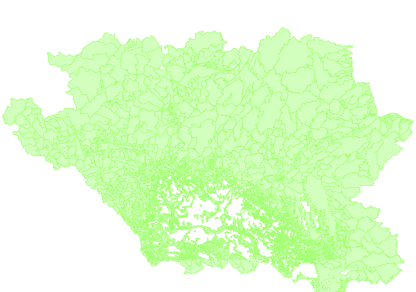
Incremental Effective Drainage Areas of the AAFC Watersheds Project - 2013
The “Incremental Effective Drainage Areas of the AAFC Watersheds Project– 2013” dataset is a geospatial data layer containing polygon features representing the portions of each incremental gross drainage area of the Agriculture and Agri-Food Canada (AAFC) Watersheds Project that could be expected to contribute to surface runoff under average runoff conditions.
An ‘incremental gross drainage area’ is a hydrometric gauging station's drainage basin, less that of the next upstream gauging station(s)’. ‘Effective drainage’ occurs in areas that are expected to supply surface runoff in an average runoff.
Simple
- Date ( RI_367 )
- 2013-04-05
- Date ( RI_366 )
- 2013-04-05
- Presentation form
- mapDigital;carteNumérique RI_391
- Status
- completed; complété RI_593
- Maintenance and update frequency
- unknown; inconnu RI_543
- Government of Canada Core Subject Thesaurus Thésaurus des sujets de base du gouvernement du Canada ( RI_528 )
-
- Inland waters
- Western provinces
- Drainage
- Watersheds
- Hydrology
- Water
- Use limitation
- Open Government Licence - Canada (http://open.canada.ca/en/open-government-licence-canada)
- Access constraints
- license; licence RI_606
- Use constraints
- license; licence RI_606
- Spatial representation type
- vector; vecteur RI_635
- Metadata language
- eng; CAN
- Topic category
-
- Inland waters
- Begin date
- 2013-01-01
))
- Reference system identifier
- www.epsg.org / EPSG: 3857 / 8.3.4
- OnLine resource
-
Pre-packaged FGDB files (Bilingual)
(
HTTP
)
Dataset;FGDB/GDB;eng,fra
- OnLine resource
-
Pre-packaged GeoJSON files (Bilingual)
(
HTTP
)
Dataset;GEOJSON;eng,fra
- OnLine resource
-
Data Product Specification (English)
(
HTTP
)
Supporting Document;PDF;eng
- OnLine resource
-
Data Product Specification (French)
(
HTTP
)
Supporting Document;PDF;fra
- File identifier
- b8d8003f-f252-4c93-a5ba-883137d5dcaa XML
- Metadata language
- eng; CAN
- Character set
- utf8; utf8 RI_458
- Parent identifier
- AAFC Watershed Project - 2013 c20d97e7-60d8-4df8-8611-4d499a796493
- Hierarchy level
- dataset; jeuDonnées RI_622
- Date stamp
- 2025-05-15T15:30:33
- Metadata standard name
- North American Profile of ISO 19115:2003 - Geographic information - Metadata
- Metadata standard version
- CAN/CGSB-171.100-2009
Overviews
Spatial extent
Provided by
