 Arctic SDI catalogue
Keyword
CCN
Type of resources
Topics
Keywords
Contact for the resource
Provided by
Formats
Representation types
Update frequencies
status
From
1
-
2
/
2
-

Approximate boundaries for all land parcels in New Brunswick. The boundaries are structured as Polygons. The Property Identifier number or PID is included for each parcel.
-
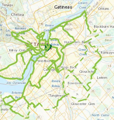
To identify the overall reach and configuration of the Capital Pathway, show the location of existing pathways (as of 2020) and proposed pathway segments, and distinguish between discovery routes and feeder links. Capital Pathway Strategic Plan, October 2020 https://ncc-website-2.s3.amazonaws.com/documents/Pathways-BOOK-10-15-2020-EN_Final_Compressed.pdf