 Arctic SDI catalogue
Coastal zone
Type of resources
Topics
Keywords
Contact for the resource
Provided by
Formats
Representation types
Update frequencies
status
-
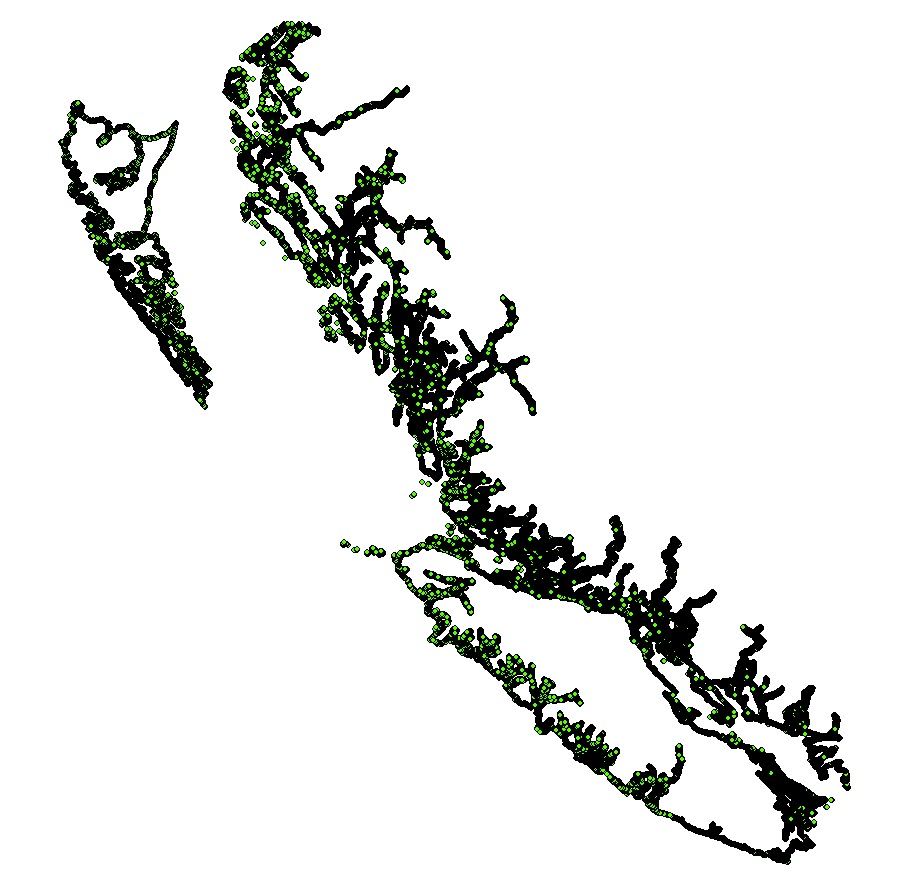
Fetch is a proxy for wind-wave action and exposure. Estimates of fetch over a total of 39,938 km of the BC coastline were calculated at 50 m intervals, yielding 799,220 near shore fetch points. Fetch was calculated for five regions in Pacific Canada: Haida Gwaii (HG), North and Central Coast (NCC), Queen Charlotte and Johnstone Straits (QCS), Salish Sea (SoG), and West Coast Vancouver Island (WCVI). For all regions, a bearing interval of 5 degrees was used to generate fetch lines for each point along the shoreline, resulting in 72 fetch lines per point. A maximum fetch distance of 200 km was used to ensure the barrier effect of Haida Gwaii was captured. Supplementary information provided includes the fetch geometry calculator script and user guide (Gregr 2014) and a report on the fetch processing objectives, process, and results (Gregr 2015).