 Arctic SDI catalogue
rendement
Type of resources
Topics
Keywords
Contact for the resource
Provided by
Representation types
Update frequencies
status
-

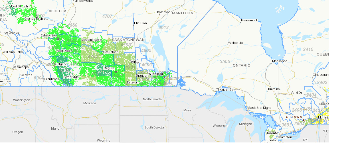
Small area data on field crops show seeded and harvested area, yield and production figures for most principal field crops and some special crops in Canada, at the census agricultural region level (except for Quebec, where small areas are defined by provincial administrative boundaries). The provinces covered are British Columbia, Alberta, Saskatchewan, Manitoba, Ontario and Quebec. The data are available in metric and imperial units of measure, for periods ranging from 1976 to 2024. The data are derived from the results of the November Farm Survey of the preceding year, of which the production estimates were only expressed at the provincial level in early December.
-
This data set was compiled by AAFC from the historic yields of major crops as provided by Statistics Canada and provides support on estimates of crop yield and related statistics.
-

This data series was compiled by AAFC and Statistics Canada using a combination of agroclimate data and satellite-derived Normalized Difference Vegetation Index (NDVI) data for the current growing season. The forecast is made based on a statistical model using historical yield, climate and NDVI data.