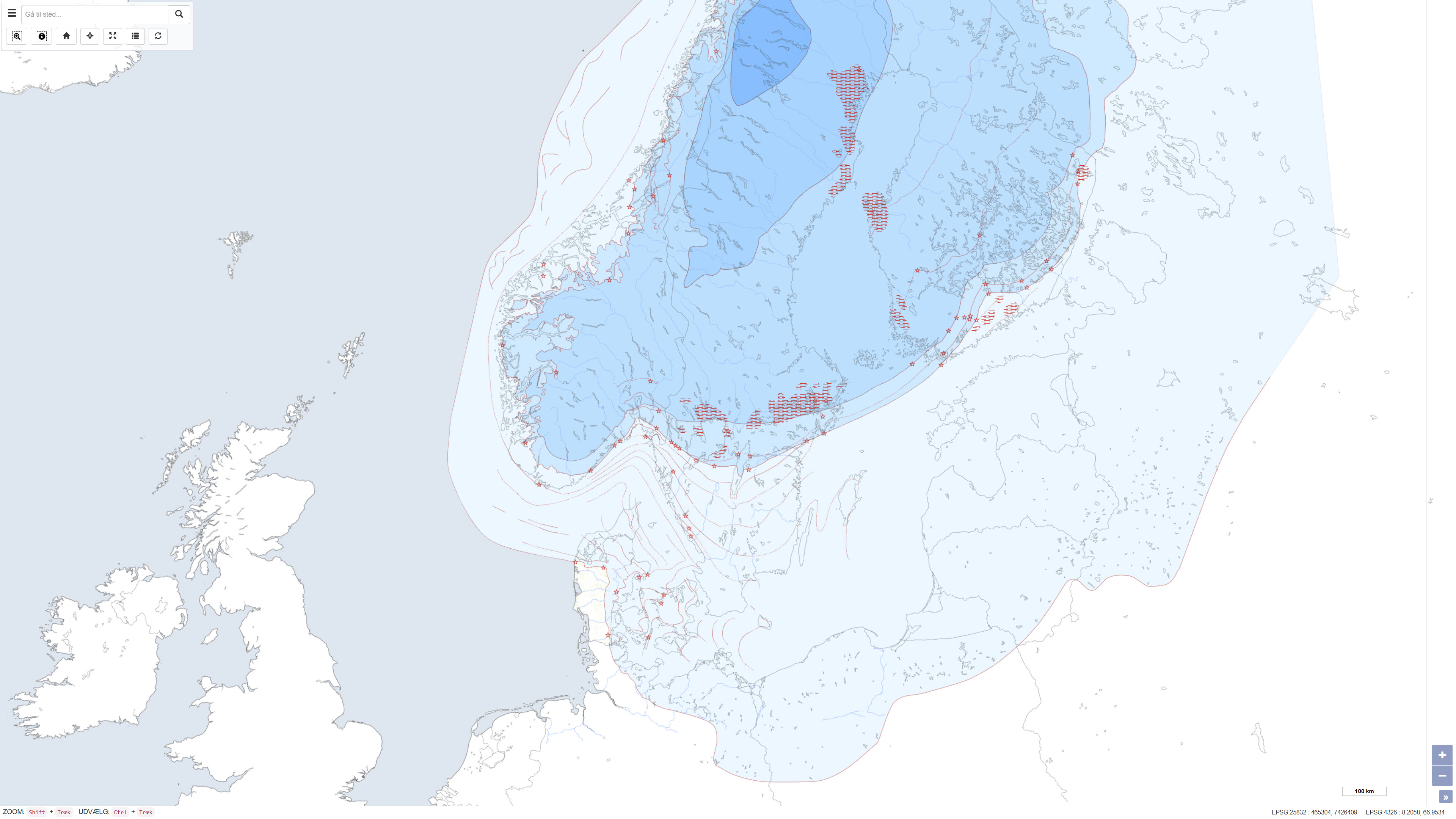
 Arctic SDI catalogue
Sweden
Type of resources
Available actions
Topics
Keywords
Contact for the resource
Provided by
Years
Formats
Representation types
Update frequencies
status
Service types
Scale
-
This service shows an overview of Sweden's bedrock and soils (meaning unconsolidated deposits) in the scale of 1:1M. The service contains layers showing bedrock lithology, dyke swarms, bedrock structures and unconsolidated deposits (mainly quaternary) covering the whole of Sweden. The information is complied from various surveys and existing maps throughout the country, and is a highly generalised product intended to give an overview on a national level.
-
This dataset represents a map of ice margin lines and related localities in Scandinavia, illustrating the gradual deglaciation of the Scandinavian Ice Sheet during the last glaciation, the Weichsel Ice Age. The map depicts the ice sheet extent in five main deglaciation phases, as well as the occurrence of recent ice caps, ice-margin localities, De Geer moraines, ice margin lines and hypothetical ice margin lines. The dataset was compiled in 1995 in connection with TemaNord and presents a regional overview of the deglaciation history of Scandinavia. GEUS has provided technical input in producing the ice margin map.
-
This service is a joint contribution by the geological surveys in Finland, Norway and Sweden to the OneGeology initiative. The Geological Map of Fennoscandian Shield outlines the main features of Finland's, Norway's and Sweden's bedrock geology. The map is composed of data resulting from several mapping campaigns, performed over decades and compiled and archived in digital format. Due to the variation of quality and scales of different mapping campaigns the level of accuracy in the underlying national database is variable. This service includes layers showing bedrock areas defined by lithology, dyke swarms and tectonic structures.
-
This worldwide street map presents highway-level data for the world. Street-level data includes the United States; much of Canada; Mexico; Europe; Japan; Australia and New Zealand; India; South America and Central America; Africa; and most of the Middle East. This comprehensive street map includes highways, major roads, minor roads, one-way arrow indicators, railways, water features, administrative boundaries, cities, parks, and landmarks, overlaid on shaded relief imagery for added context. The map also includes building footprints for selected areas. Coverage is provided down to ~1:4k with ~1:1k and ~1:2k data available in select urban areas. The street map was developed by Esri using Esri basemap data, Garmin basemap layers, U.S. Geological Survey (USGS) elevation data, Intact Forest Landscape (IFL) data for the world; HERE data for Europe, Australia and New Zealand, North America, South America and Central America, Africa, India, and most of the Middle East; OpenStreetMap contributors for select countries in Africa and Pacific Islands; NGCC data for China; and select data from the GIS user community. For more information on this map, including the terms of use, visit us <a href="http://goto.arcgisonline.com/maps/World_Street_Map " target="_new" >online</a>.