 Arctic SDI catalogue
1.2.3. Hydrological Service and Water Survey
Type of resources
Topics
Keywords
Contact for the resource
Provided by
Formats
Representation types
Update frequencies
status
-
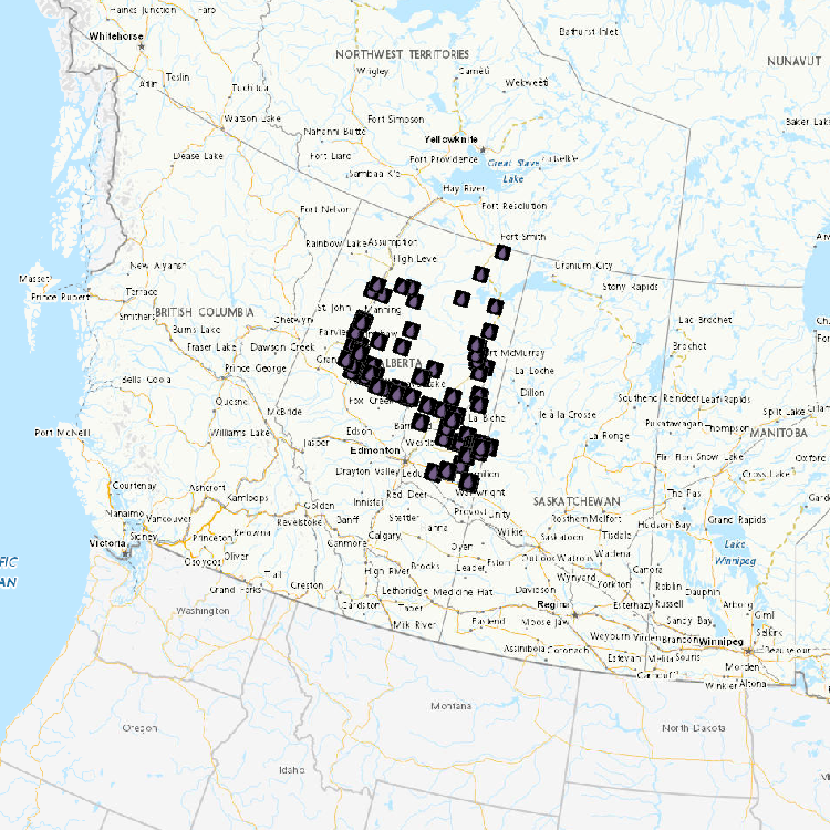
Water level and discharge data are available from Water Survey of Canada’s Hydrometric Network. The Water Survey of Canada (WSC) is the national authority responsible for the collection, interpretation and dissemination of standardized water resource data and information in Canada. In partnership with the provinces, territories and other agencies, WSC operates over 2500 active hydrometric gauges across the country, maintains an archive of historical information for over 7600 stations and provides access to near real-time (water level and stream flow) provisional data at over 1700 locations in Canada.
-
The Water Survey of Canada (WSC) is the national authority responsible for the collection, interpretation and dissemination of standardized water resource data and information in Canada. In partnership with the provinces, territories and other agencies, WSC operates over 2800 active hydrometric gauges across the country. WSC maintains and provides real-time and historic hydrometric data for some 8000 active and discontinued stations. This dataset consists of a set of polygons that represent the drainage areas of both active and discontinued discharge stations. Users are encouraged to report any errors using the “Contact Us” webpage at: https://weather.gc.ca/mainmenu/contact_us_e.html?site=water