Nordsee
Type of resources
Available actions
Keywords
Contact for the resource
Provided by
Years
Formats
status
Service types
-

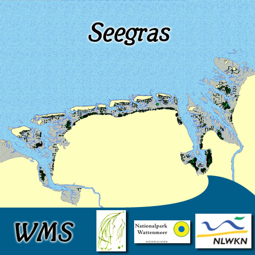
Seegras:2003. Durch Übersichtsbefliegungen und Begehungen wurden in 2001-2003 die Seegrasbestände im Eulitoral erfasst. Die Daten sind Bestandteil des Trilateral Monitoring and Assessment Program (TMAP). Seegras:2008. Durch Begehungen wurden in 2008 die Seegrasbestände im Eulitoral erfasst. Seagrass:2003. The eulittoral Seagrass stocks were mapped by aerial flight and field survey in 2001-2003. The data are part of the Trilateral Monitoring and Assessment Program (TMAP). Seagrass:2008. The eulittoral Seagrass stocks were mapped by field surveys in 2008.
-
.png)
The WMS MSSP-EEZ (INSPIRE) represents marine seismic survey profiles for the German EEZ. During the period from 1996 to 2007 five cruises operated by BGR acquired seismic lines from the German EEZ. The aim of these cruises was a detailed survey of the geological structure of the seabed from the North Sea and Baltic Sea. According to the Data Specification on Geology (D2.8.II.4_v3.0, subtopic Geophysics) the content of the information with respect to the seismic profiles is INSPIRE-compliant. The WMS MSSP-EEZ (INSPIRE) contains for each cruise one layer, e.g. GE.seismicLine.pq2. The expeditions are displayed correspondingly to the INSPIRE portrayal rules. Via the getFeatureInfo request the user obtains the content of the INSPIRE attributes platformType und profileType. Additionally, the WMS contains a campaign layer (GE.2DSeismicSurvey) with the INSPIRE attributes campaignType and surveyType.
-

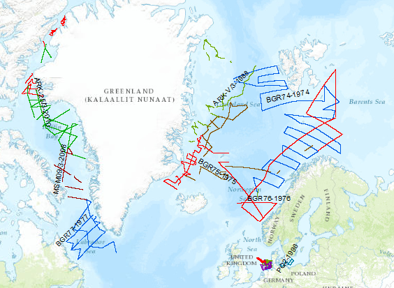
During the period from 1974 to 2010 various cruises from BGR acquired seismic lines worldwide. The aim of these marine expeditions was a detailed survey of the geological structure.
 Arctic SDI catalogue